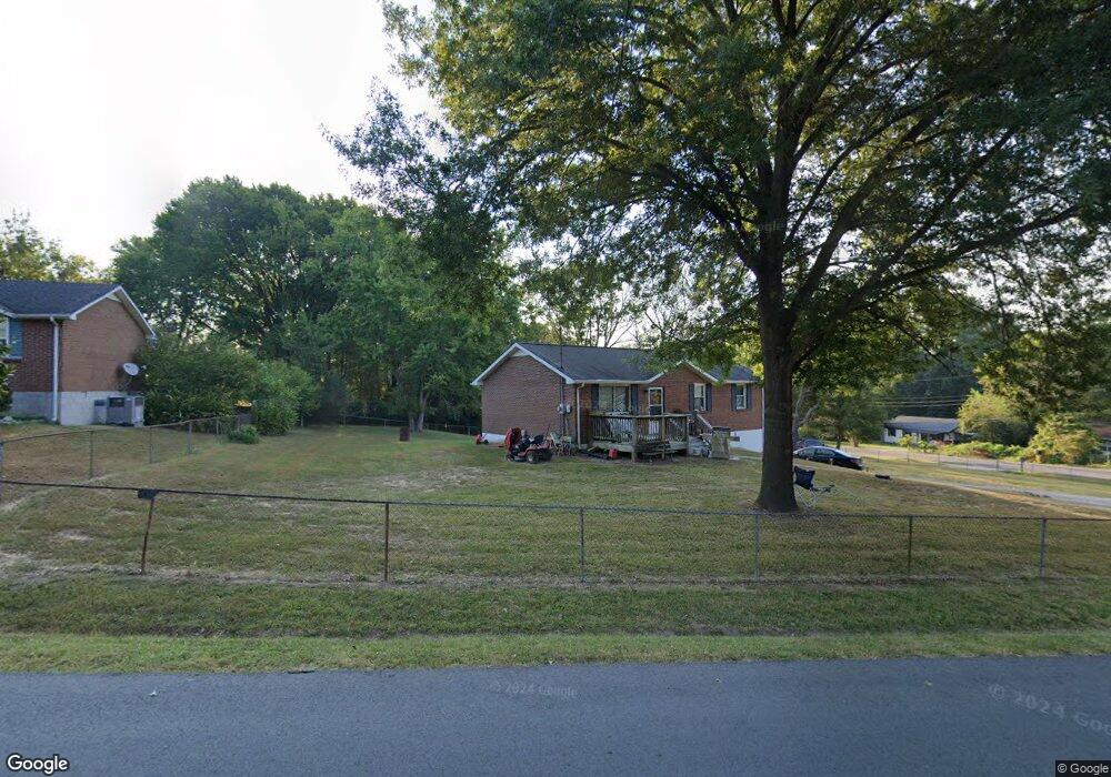
869 Fortoria Dr Clarksville, TN 37042
Estimated Value: $205,451 - $247,000
--
Bed
1
Bath
1,677
Sq Ft
$134/Sq Ft
Est. Value
About This Home
This home is located at 869 Fortoria Dr, Clarksville, TN 37042 and is currently estimated at $224,863, approximately $134 per square foot. 869 Fortoria Dr is a home located in Montgomery County with nearby schools including Kenwood Elementary School, Kenwood Middle School, and Kenwood High School.
Ownership History
Date
Name
Owned For
Owner Type
Purchase Details
Closed on
Jan 15, 2007
Sold by
Pontes William J
Bought by
Pontes Alisa L
Current Estimated Value
Purchase Details
Closed on
Oct 31, 2001
Sold by
Sec Of Veterans Affair
Bought by
Pontes William J
Purchase Details
Closed on
Feb 25, 2001
Sold by
Doerr John P
Bought by
Sec Of Veterans Affairs
Purchase Details
Closed on
May 6, 1997
Sold by
Dempsey Marshall A
Bought by
Doerr John P
Create a Home Valuation Report for This Property
The Home Valuation Report is an in-depth analysis detailing your home's value as well as a comparison with similar homes in the area
Home Values in the Area
Average Home Value in this Area
Purchase History
| Date | Buyer | Sale Price | Title Company |
|---|---|---|---|
| Pontes Alisa L | -- | -- | |
| Pontes William J | $60,000 | -- | |
| Sec Of Veterans Affairs | -- | -- | |
| Doerr John P | $63,500 | -- |
Source: Public Records
Tax History Compared to Growth
Tax History
| Year | Tax Paid | Tax Assessment Tax Assessment Total Assessment is a certain percentage of the fair market value that is determined by local assessors to be the total taxable value of land and additions on the property. | Land | Improvement |
|---|---|---|---|---|
| 2024 | $1,511 | $50,700 | $0 | $0 |
| 2023 | $1,511 | $29,325 | $0 | $0 |
| 2022 | $1,238 | $29,325 | $0 | $0 |
| 2021 | $1,238 | $29,325 | $0 | $0 |
| 2020 | $1,109 | $27,600 | $0 | $0 |
| 2019 | $1,109 | $27,600 | $0 | $0 |
| 2018 | $938 | $12,650 | $0 | $0 |
| 2017 | $270 | $21,775 | $0 | $0 |
| 2016 | $668 | $21,775 | $0 | $0 |
| 2015 | $668 | $21,775 | $0 | $0 |
| 2014 | $905 | $21,775 | $0 | $0 |
| 2013 | $914 | $20,850 | $0 | $0 |
Source: Public Records
Map
Nearby Homes
- 780 Pollard Rd
- 739 Pollard Rd
- 841 Lutz Ln
- 0A Pollard Rd
- 0 Pollard Rd
- 800 Helton Dr
- 154 Irish Hills Dr
- 150 Irish Hills Dr
- 151 Irish Hills Dr
- 147 Irish Hills Dr
- 149 Irish Hills Dr Unit 149
- 841 Lennox Rd
- 722 Overton Dr
- 803 Margret Dr
- 614 Cayce Dr
- 513 Lucky Ln
- 540 Lucky Ln
- 1054 Pollard Rd
- 1064 Pollard Rd
- 515 Cheatham Dr