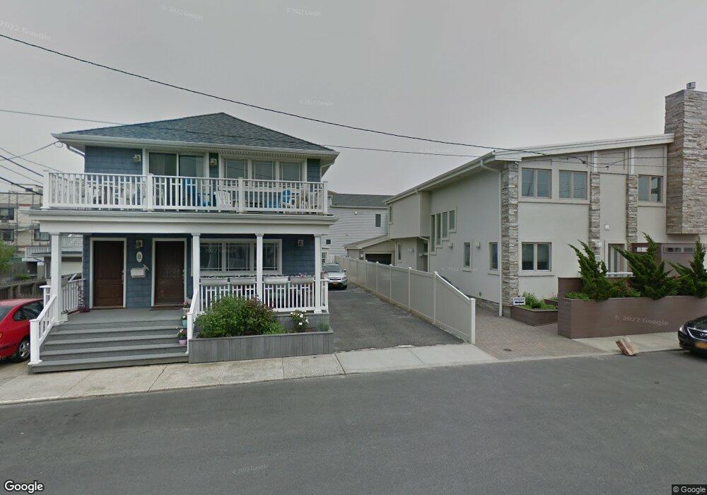
869 Oceanfront St Long Beach, NY 11561
Estimated Value: $1,482,000 - $2,451,965
5
Beds
4
Baths
5,330
Sq Ft
$369/Sq Ft
Est. Value
About This Home
This home is located at 869 Oceanfront St, Long Beach, NY 11561 and is currently estimated at $1,966,983, approximately $369 per square foot. 869 Oceanfront St is a home located in Nassau County with nearby schools including Lido Elementary School, West Elementary School, and Lindell Elementary School.
Ownership History
Date
Name
Owned For
Owner Type
Purchase Details
Closed on
Apr 8, 2022
Sold by
Tirgary Matilda
Bought by
Aftanas Richard and Schanzar Kimberly
Current Estimated Value
Purchase Details
Closed on
Oct 2, 2012
Sold by
Pietronuto Robert
Bought by
Tirgary Matilda
Purchase Details
Closed on
Apr 9, 2008
Sold by
Pietronuto Robert
Purchase Details
Closed on
Sep 28, 2004
Sold by
Bca & Associates Llc
Bought by
Pietronuto Robert
Purchase Details
Closed on
Apr 18, 2002
Sold by
Littman Lawrence
Bought by
Bca & Associates Llc
Purchase Details
Closed on
Jan 8, 1998
Sold by
Kamran Poorgol Realty Cor
Bought by
Littman Lawrence and Somers Elvia
Purchase Details
Closed on
Oct 8, 1996
Sold by
Axelrod Rosallo
Bought by
Sutton Leon
Create a Home Valuation Report for This Property
The Home Valuation Report is an in-depth analysis detailing your home's value as well as a comparison with similar homes in the area
Home Values in the Area
Average Home Value in this Area
Purchase History
| Date | Buyer | Sale Price | Title Company |
|---|---|---|---|
| Aftanas Richard | $2,500,000 | Judicial Title | |
| Tirgary Matilda | $1,600,000 | -- | |
| -- | -- | -- | |
| Pietronuto Robert | $1,550,000 | -- | |
| Bca & Associates Llc | $1,150,000 | David Baram | |
| Littman Lawrence | $580,000 | -- | |
| Sutton Leon | $350,000 | -- |
Source: Public Records
Tax History
| Year | Tax Paid | Tax Assessment Tax Assessment Total Assessment is a certain percentage of the fair market value that is determined by local assessors to be the total taxable value of land and additions on the property. | Land | Improvement |
|---|---|---|---|---|
| 2025 | $21,109 | $1,466 | $683 | $783 |
| 2024 | $2,402 | $1,466 | $683 | $783 |
| 2023 | $15,314 | $1,466 | $683 | $783 |
| 2022 | $15,314 | $1,466 | $683 | $783 |
| 2021 | $11,831 | $1,570 | $505 | $1,065 |
| 2020 | $14,913 | $1,679 | $1,678 | $1 |
| 2019 | $2,489 | $1,799 | $1,798 | $1 |
| 2018 | $2,968 | $2,308 | $0 | $0 |
| 2017 | $14,521 | $2,308 | $2,307 | $1 |
| 2016 | $2,849 | $2,443 | $2,216 | $227 |
| 2015 | $3,165 | $2,579 | $2,339 | $240 |
| 2014 | $3,165 | $2,579 | $2,339 | $240 |
| 2013 | $4,034 | $3,438 | $3,118 | $320 |
Source: Public Records
Map
Nearby Homes
- 30 Delaware Ave
- 923 Oceanfront St
- 931 Oceanfront St
- 56 Oregon St
- 59 Delaware Ave
- 23 Virginia Ave
- 77 Nebraska St
- 74 Wisconsin St
- 84 Nebraska St
- 90 Oregon St
- 78 Virginia Ave
- 92 Nebraska St
- 730 W Broadway Unit 2J
- 97 Wisconsin St
- 28 Michigan St
- 91 Virginia Ave
- 8 July Walk
- 101 California St
- 3 September Walk
- 853 W Park Ave
- 865 Oceanfront St
- 8 Delaware Ave
- 8 Delaware Ave Unit Lower
- 8 Delaware Ave Unit Main
- 8 Delaware Ave Unit Upper
- 877 Oceanfront St
- 861 Oceanfront St
- 14 Delaware Ave
- 0 Delaware Ave Unit House 3005002
- 0 Delaware Ave Unit 3227270
- 7 Arizona Ave
- 859 Oceanfront
- 20 Delaware Ave
- 20 Delaware Ave Unit 3
- 20 Delaware Ave Unit 1
- 20 Delaware Ave Unit 2
- 20 Oregon St
- 7 Delaware Ave
- 879 Oceanfront
- 21 Arizona Ave Unit 105
Your Personal Tour Guide
Ask me questions while you tour the home.