8694 Daisy Ave Baxter, IA 50028
Estimated Value: $424,000 - $475,969
4
Beds
3
Baths
1,849
Sq Ft
$242/Sq Ft
Est. Value
About This Home
This home is located at 8694 Daisy Ave, Baxter, IA 50028 and is currently estimated at $448,323, approximately $242 per square foot. 8694 Daisy Ave is a home with nearby schools including Baxter Elementary School and Baxter High School.
Create a Home Valuation Report for This Property
The Home Valuation Report is an in-depth analysis detailing your home's value as well as a comparison with similar homes in the area
Tax History
| Year | Tax Paid | Tax Assessment Tax Assessment Total Assessment is a certain percentage of the fair market value that is determined by local assessors to be the total taxable value of land and additions on the property. | Land | Improvement |
|---|---|---|---|---|
| 2025 | $5,024 | $375,180 | $88,900 | $286,280 |
| 2024 | $5,024 | $351,640 | $52,210 | $299,430 |
| 2023 | $4,900 | $351,640 | $52,210 | $299,430 |
| 2022 | $4,098 | $276,520 | $52,210 | $224,310 |
| 2021 | $3,836 | $260,570 | $52,210 | $208,360 |
| 2020 | $3,836 | $231,880 | $36,890 | $194,990 |
| 2019 | $3,556 | $201,280 | $0 | $0 |
| 2018 | $3,556 | $201,280 | $0 | $0 |
| 2017 | $3,556 | $200,820 | $0 | $0 |
| 2016 | $3,556 | $200,820 | $0 | $0 |
| 2015 | $3,470 | $201,400 | $0 | $0 |
| 2014 | $3,456 | $201,400 | $0 | $0 |
Source: Public Records
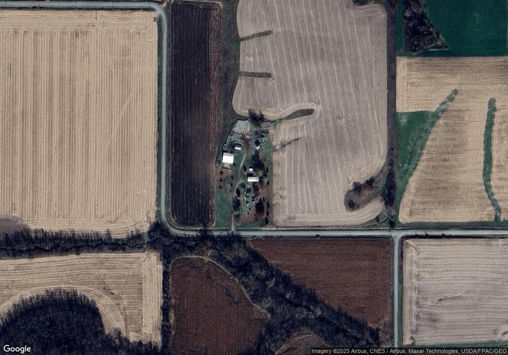
Map
Nearby Homes
- 9773 N 99th Ave W
- 000 Xxx St
- 312 Willow St
- 310 Willow St
- 304 Willow St
- 303 Willow St
- 307 Willow St
- 302 Willow St
- 311 Willow St
- 309 Willow St
- 305 Willow St
- 105 W Rippey Ave
- 7946 Highway S52 None N
- 207 N High St
- 213 Davenport Ave
- 311 S Harrison Ave
- 408 Kelly Ave
- 6352 N 95th Ave W
- 6839 Center St
- 102 Davenport St
- 9264 W 86th St N
- 9146 W 86th St N
- 8778 Highway F17 W
- 0 W 86th St N
- 8826 Highway F17 W
- 10100 W 86th St N
- 8390 Highway F17 W
- 9715 W 92nd St N
- 9058 Drum St
- 9052 Drum St
- 8991 Highway F17 W
- 9088 W 84th St N
- 8079 N 95th Ave W
- 10888 Highway F17 W
- 9028 W 84th St N
- 8245 Highway F 17 W
- 8245 Highway F17 W
- 9272 N 101st Ave W
- 7992 N 95th Ave W
- 8129 Highway F17 W
Your Personal Tour Guide
Ask me questions while you tour the home.