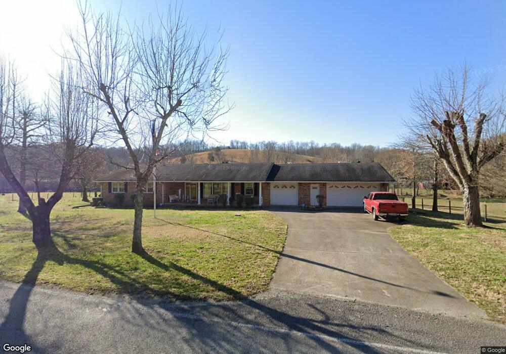
8698 California Branch Rd Westpoint, TN 38486
Estimated Value: $154,000 - $466,000
--
Bed
2
Baths
1,790
Sq Ft
$191/Sq Ft
Est. Value
About This Home
This home is located at 8698 California Branch Rd, Westpoint, TN 38486 and is currently estimated at $341,094, approximately $190 per square foot. 8698 California Branch Rd is a home located in Wayne County.
Ownership History
Date
Name
Owned For
Owner Type
Purchase Details
Closed on
Apr 15, 2020
Sold by
Caperton Frances R
Bought by
Caperton Gary Lane and Capertoon Deborah June
Current Estimated Value
Purchase Details
Closed on
Nov 11, 1986
Purchase Details
Closed on
Apr 23, 1982
Purchase Details
Closed on
Jul 28, 1980
Purchase Details
Closed on
Jan 1, 1980
Purchase Details
Closed on
Jan 2, 1979
Purchase Details
Closed on
Jan 1, 1979
Purchase Details
Closed on
Jan 1, 1977
Create a Home Valuation Report for This Property
The Home Valuation Report is an in-depth analysis detailing your home's value as well as a comparison with similar homes in the area
Home Values in the Area
Average Home Value in this Area
Purchase History
| Date | Buyer | Sale Price | Title Company |
|---|---|---|---|
| Caperton Gary Lane | -- | None Available | |
| -- | -- | -- | |
| -- | -- | -- | |
| -- | -- | -- | |
| -- | $34,000 | -- | |
| -- | $33,900 | -- | |
| -- | $33,900 | -- | |
| -- | $30,000 | -- |
Source: Public Records
Tax History Compared to Growth
Tax History
| Year | Tax Paid | Tax Assessment Tax Assessment Total Assessment is a certain percentage of the fair market value that is determined by local assessors to be the total taxable value of land and additions on the property. | Land | Improvement |
|---|---|---|---|---|
| 2024 | $769 | $35,500 | $1,250 | $34,250 |
| 2023 | $681 | $35,500 | $1,250 | $34,250 |
| 2022 | $681 | $35,500 | $1,250 | $34,250 |
| 2021 | $514 | $35,500 | $1,250 | $34,250 |
| 2020 | $514 | $22,350 | $1,250 | $21,100 |
| 2019 | $514 | $22,350 | $1,250 | $21,100 |
| 2018 | $514 | $22,350 | $1,250 | $21,100 |
| 2017 | $514 | $22,350 | $1,250 | $21,100 |
| 2016 | $458 | $22,350 | $1,250 | $21,100 |
| 2014 | $483 | $23,326 | $0 | $0 |
Source: Public Records
Map
Nearby Homes
- 0 California Branch Rd
- 4013 Andrews Grocery Rd
- 366 Ridge Rd
- 2732 Railroad Bed Rd
- 139 Water Tower Rd
- 130 Water Tower Rd
- 322 Creekside Ln
- 2034 Tennessee St
- 109 W Cherry St
- 2016 Tennessee St
- 2 Hardin Loop
- 7 Hardin Loop
- 3795 Wayland Springs Rd
- 437 S Ore Rd
- 0 Double Branch Rd Unit 10203942
- 0 S Randall Rd
- 0 Factory Creek Rd
- 8276 Middle Butler Rd
- 0 Wayland Springs Rd
- 0 Cedar Grove Rd
- 8698 California Branch Rd
- 8654 California Branch Rd
- 8807 California Branch Rd
- 8640 California Branch Rd
- 8822 California Branch Rd
- 8621 California Branch Rd
- 1155 Factors Fork Rd
- 8825 California Branch Rd
- 8609 California Branch Rd
- 8944 California Branch Rd
- 8513 California Branch Rd
- 308 Collinwood Rd
- 308 Collinwood Rd
- 7593 Todd Rd
- 5143 Nelson Rd
- 0 Todd Rd Unit RTC2360130
- 0 Todd Rd Unit RTC2360128
- 8499 California Branch Rd
- 5199 Nelson Rd
- 301 Collinwood Rd