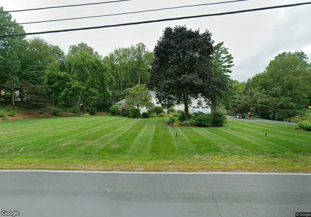
87 Abbot Hill Rd Wilton, NH 03086
Estimated Value: $495,000 - $565,000
3
Beds
2
Baths
1,830
Sq Ft
$291/Sq Ft
Est. Value
About This Home
This home is located at 87 Abbot Hill Rd, Wilton, NH 03086 and is currently estimated at $532,634, approximately $291 per square foot. 87 Abbot Hill Rd is a home located in Hillsborough County with nearby schools including Florence Rideout Elementary School, Wilton-Lyndeborough Cooperative Middle School, and Wilton-Lyndeborough Cooperative High School.
Ownership History
Date
Name
Owned For
Owner Type
Purchase Details
Closed on
Oct 31, 2025
Sold by
Varney Scott T and Tuttle-Varney Julie L
Bought by
Villa Varney Ret and Varney
Current Estimated Value
Purchase Details
Closed on
Oct 31, 2016
Sold by
Goodhue James R and Goodhue Kimberly
Bought by
Carlson Michael P
Home Financials for this Owner
Home Financials are based on the most recent Mortgage that was taken out on this home.
Original Mortgage
$237,590
Interest Rate
3.5%
Mortgage Type
VA
Purchase Details
Closed on
Jul 3, 2014
Sold by
Dorothy A Wood T A and Dorothy Wood
Bought by
Tuttle Julie L
Create a Home Valuation Report for This Property
The Home Valuation Report is an in-depth analysis detailing your home's value as well as a comparison with similar homes in the area
Home Values in the Area
Average Home Value in this Area
Purchase History
| Date | Buyer | Sale Price | Title Company |
|---|---|---|---|
| Villa Varney Ret | -- | -- | |
| Carlson Michael P | $230,000 | -- | |
| Carlson Michael P | $230,000 | -- | |
| Tuttle Julie L | $230,000 | -- | |
| Tuttle Julie L | $230,000 | -- |
Source: Public Records
Mortgage History
| Date | Status | Borrower | Loan Amount |
|---|---|---|---|
| Previous Owner | Carlson Michael P | $237,590 | |
| Closed | Tuttle Julie L | $0 |
Source: Public Records
Tax History Compared to Growth
Tax History
| Year | Tax Paid | Tax Assessment Tax Assessment Total Assessment is a certain percentage of the fair market value that is determined by local assessors to be the total taxable value of land and additions on the property. | Land | Improvement |
|---|---|---|---|---|
| 2024 | $9,779 | $393,200 | $109,500 | $283,700 |
| 2023 | $8,729 | $393,200 | $109,500 | $283,700 |
| 2022 | $8,124 | $393,200 | $109,500 | $283,700 |
| 2021 | $7,557 | $393,200 | $109,500 | $283,700 |
| 2020 | $7,818 | $266,000 | $80,400 | $185,600 |
| 2019 | $7,562 | $260,400 | $80,400 | $180,000 |
| 2018 | $7,489 | $260,400 | $80,400 | $180,000 |
| 2017 | $7,075 | $260,400 | $80,400 | $180,000 |
| 2016 | $6,859 | $260,400 | $80,400 | $180,000 |
| 2015 | $6,904 | $262,100 | $85,400 | $176,700 |
| 2014 | $6,762 | $262,100 | $85,400 | $176,700 |
| 2013 | $6,820 | $262,100 | $85,400 | $176,700 |
Source: Public Records
Map
Nearby Homes
- 30 Robbins Rd
- 44 Burns Hill Rd
- 8 Maple St
- 25 Burns Hill Rd
- 18 Richfield Way
- F-88-10 Aria Hill Dr
- F-88-11 Aria Hill Dr
- F-88-12 Aria Hill Dr
- F-88-7 Aria Hill Dr
- Lot F-88-9 Aria Hill Dr
- 134 Falcon Ridge Rd Unit 23
- F/88-5 McGettigan Rd
- F/88-4 McGettigan Rd
- 415 Savage Rd
- Lots 4 & 7 Gibbons & Robbins Rd
- 58-2 Davisville Rd
- 21 Ledgewood Rd
- 0 Marden Rd
- 30 Irish Way
- 361 Captain Clark Hwy
- 81 Abbot Hill Rd
- 97 Abbot Hill Rd
- 16 Spalding Dr
- 73 Abbot Hill Rd
- 7 Mather Ln
- 100 Abbot Hill Rd
- 86 Robbins Rd
- 20 Spalding Dr
- 106 Abbot Hill Rd
- 107 Abbot Hill Rd
- 74 Robbins Rd
- 61 Abbot Hill Rd
- 1 Mather Ln
- 68 Robbins Rd
- 23 McGettigan Rd
- 79 Robbins Rd
- 99 Robbins Rd
- 116 Abbot Hill Rd
- 24 Spalding Dr
- 75 Robbins Rd