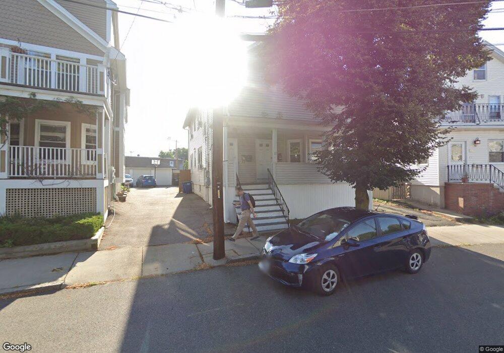
87 Boston Ave Unit 2 Somerville, MA 02144
Ball Square NeighborhoodEstimated Value: $1,120,000 - $1,498,000
2
Beds
1
Bath
1,650
Sq Ft
$818/Sq Ft
Est. Value
About This Home
This home is located at 87 Boston Ave Unit 2, Somerville, MA 02144 and is currently estimated at $1,348,915, approximately $817 per square foot. 87 Boston Ave Unit 2 is a home located in Middlesex County with nearby schools including Somerville High School and St. Clement Elementary School.
Ownership History
Date
Name
Owned For
Owner Type
Purchase Details
Closed on
Sep 17, 2003
Sold by
Gayron Frances
Bought by
Gayton Kenneth L and Silvestro Kimberly M
Current Estimated Value
Purchase Details
Closed on
Apr 2, 2001
Sold by
Passanisi Carmela and Passanisi Salvatore
Bought by
Passanisi Thomaso
Create a Home Valuation Report for This Property
The Home Valuation Report is an in-depth analysis detailing your home's value as well as a comparison with similar homes in the area
Home Values in the Area
Average Home Value in this Area
Purchase History
| Date | Buyer | Sale Price | Title Company |
|---|---|---|---|
| Gayton Kenneth L | -- | -- | |
| Gayron Frances | -- | -- | |
| Gayton Kenneth L | -- | -- | |
| Gayron Frances | -- | -- | |
| Passanisi Thomaso | $195,000 | -- | |
| Passanisi Thomaso | $195,000 | -- |
Source: Public Records
Tax History
| Year | Tax Paid | Tax Assessment Tax Assessment Total Assessment is a certain percentage of the fair market value that is determined by local assessors to be the total taxable value of land and additions on the property. | Land | Improvement |
|---|---|---|---|---|
| 2025 | $13,427 | $1,230,700 | $834,000 | $396,700 |
| 2024 | $12,734 | $1,210,500 | $834,000 | $376,500 |
| 2023 | $12,453 | $1,204,400 | $834,000 | $370,400 |
| 2022 | $11,548 | $1,134,400 | $794,200 | $340,200 |
| 2021 | $11,316 | $1,110,500 | $788,500 | $322,000 |
| 2020 | $11,149 | $1,105,000 | $789,000 | $316,000 |
| 2019 | $10,585 | $983,700 | $718,200 | $265,500 |
| 2018 | $10,242 | $905,600 | $652,900 | $252,700 |
| 2017 | $9,898 | $848,200 | $615,900 | $232,300 |
| 2016 | $9,943 | $793,500 | $550,000 | $243,500 |
| 2015 | $9,423 | $747,300 | $507,900 | $239,400 |
Source: Public Records
Map
Nearby Homes
- 288 Cedar St
- 74 Pearson Ave
- 595 Broadway Unit 302
- 595 Broadway Unit 102
- 595 Broadway Unit 202
- 595 Broadway Unit 101
- 595 Broadway Unit 301
- 32 Richardson St
- 3 Vinal St
- 13 Warwick St
- 44 Henderson St Unit 44
- 16 Rogers Ave
- 13 Alpine St Unit 202
- 167 Albion St
- 474 Broadway Unit 26
- 496 Medford St
- 156 Albion St Unit 1
- 9 Norwood Ave
- 0 Norwood Ave
- 84 Partridge Ave
- 87 Boston Ave
- 89 Boston Ave Unit 89A
- 89 Boston Ave
- 89 Boston Ave Unit 1
- 85 Boston Ave
- 85 Boston Ave Unit 1
- 91 Boston Ave
- 89A Boston Ave Unit A
- 83 Boston Ave
- 270 Cedar St
- 270 Cedar St Unit 8
- 270 Cedar St Unit 3
- 270 Cedar St Unit 4
- 270 Cedar St Unit 2
- 270 Cedar St Unit 6
- 93 Boston Ave
- 93 Boston Ave
- 93 Boston Ave Unit 1
- 79 Boston Ave
- 86 Boston Ave
Your Personal Tour Guide
Ask me questions while you tour the home.