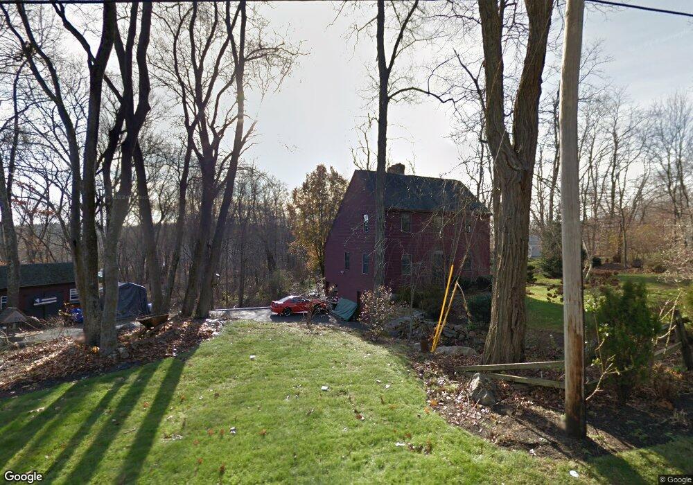
87 Chestnut Hill Rd Millville, MA 01529
Estimated Value: $475,000 - $546,437
3
Beds
3
Baths
1,872
Sq Ft
$273/Sq Ft
Est. Value
About This Home
This home is located at 87 Chestnut Hill Rd, Millville, MA 01529 and is currently estimated at $510,359, approximately $272 per square foot. 87 Chestnut Hill Rd is a home located in Worcester County with nearby schools including Blackstone-Millville Regional High School and Our Lady of the Valley Regional School.
Ownership History
Date
Name
Owned For
Owner Type
Purchase Details
Closed on
Nov 8, 2021
Sold by
Morton Mark R
Bought by
Morton Mark R and Morton Kimberly A
Current Estimated Value
Purchase Details
Closed on
May 23, 2014
Sold by
Morton Deborah J
Bought by
Morton Mark R
Home Financials for this Owner
Home Financials are based on the most recent Mortgage that was taken out on this home.
Original Mortgage
$210,000
Interest Rate
4.33%
Mortgage Type
New Conventional
Create a Home Valuation Report for This Property
The Home Valuation Report is an in-depth analysis detailing your home's value as well as a comparison with similar homes in the area
Home Values in the Area
Average Home Value in this Area
Purchase History
| Date | Buyer | Sale Price | Title Company |
|---|---|---|---|
| Morton Mark R | -- | None Available | |
| Morton Mark R | -- | -- |
Source: Public Records
Mortgage History
| Date | Status | Borrower | Loan Amount |
|---|---|---|---|
| Previous Owner | Morton Mark R | $210,000 |
Source: Public Records
Tax History Compared to Growth
Tax History
| Year | Tax Paid | Tax Assessment Tax Assessment Total Assessment is a certain percentage of the fair market value that is determined by local assessors to be the total taxable value of land and additions on the property. | Land | Improvement |
|---|---|---|---|---|
| 2025 | $5,023 | $380,800 | $91,900 | $288,900 |
| 2024 | $6,016 | $455,100 | $67,600 | $387,500 |
| 2023 | $5,881 | $423,400 | $67,600 | $355,800 |
| 2022 | $5,754 | $380,800 | $91,900 | $288,900 |
| 2021 | $5,657 | $355,100 | $91,900 | $263,200 |
| 2020 | $5,308 | $330,300 | $94,600 | $235,700 |
| 2019 | $5,074 | $314,000 | $108,100 | $205,900 |
| 2018 | $4,264 | $304,900 | $108,100 | $196,800 |
| 2017 | $4,759 | $295,400 | $108,100 | $187,300 |
| 2016 | $4,875 | $288,300 | $108,100 | $180,200 |
| 2015 | $4,648 | $269,600 | $105,400 | $164,200 |
| 2014 | $4,443 | $258,600 | $102,700 | $155,900 |
Source: Public Records
Map
Nearby Homes
- 77 Chestnut Hill Rd
- 90 Chestnut Hill Rd
- 24 Lincoln St
- 34 Lincoln St
- 16 Preston St
- 23 Chesley St
- 385 River Rd
- 179 Thayer St
- 57 Kempton Rd
- 41 Thayer St
- 160 Thayer St
- 119 Albee Rd
- 133 Providence St Unit D
- 9 Balm of Life Spring Rd
- 111 Cider Mill Rd
- 69 Adj Hill St
- 70 Hill St
- 0 Buxton St Unit 1386233
- 12 Hickory Rd
- 127 Old Millville Rd
- 91 Chestnut Hill Rd
- 5 Theresa Dr
- 21 Oak St
- 94 Chestnut Hill Rd
- 9 Theresa Dr
- 15 Oak St
- 69 Chestnut Hill Rd
- 103 Chestnut Hill Rd
- 6 Theresa Dr
- 9 Oak St
- 108 Chestnut Hill Rd
- 276 Main St
- 10 Oak St
- 10 Theresa Dr
- 63 Chestnut Hill Rd
- 111 Chestnut Hill Rd
- 112 Chestnut Hill Rd
- 9 Walnut St
- 44 Bantry Rd
- 290 Lot1 Main St