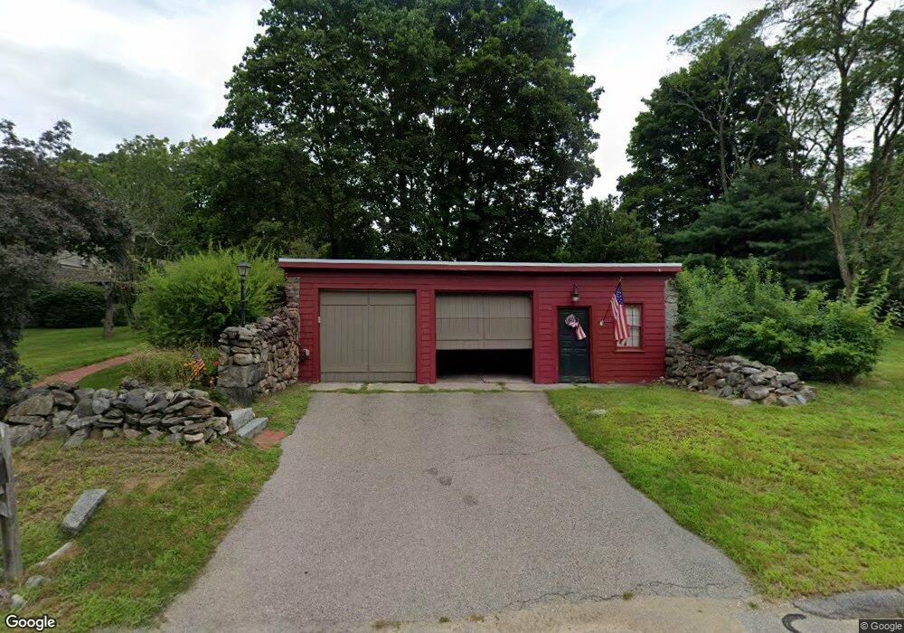
87 Cumberland Rd Wrentham, MA 02093
West Wrentham NeighborhoodEstimated Value: $581,000 - $684,000
2
Beds
2
Baths
1,989
Sq Ft
$316/Sq Ft
Est. Value
About This Home
This home is located at 87 Cumberland Rd, Wrentham, MA 02093 and is currently estimated at $627,898, approximately $315 per square foot. 87 Cumberland Rd is a home located in Norfolk County with nearby schools including Delaney Elementary School, Charles E Roderick, and Mercymount Country Day School.
Create a Home Valuation Report for This Property
The Home Valuation Report is an in-depth analysis detailing your home's value as well as a comparison with similar homes in the area
Home Values in the Area
Average Home Value in this Area
Tax History Compared to Growth
Tax History
| Year | Tax Paid | Tax Assessment Tax Assessment Total Assessment is a certain percentage of the fair market value that is determined by local assessors to be the total taxable value of land and additions on the property. | Land | Improvement |
|---|---|---|---|---|
| 2025 | $5,564 | $480,100 | $264,100 | $216,000 |
| 2024 | $5,648 | $470,700 | $264,100 | $206,600 |
| 2023 | $4,933 | $390,900 | $240,000 | $150,900 |
| 2022 | $5,394 | $394,600 | $233,400 | $161,200 |
| 2021 | $5,265 | $374,200 | $218,100 | $156,100 |
| 2020 | $4,523 | $317,400 | $166,500 | $150,900 |
| 2019 | $4,482 | $317,400 | $166,500 | $150,900 |
| 2018 | $4,829 | $339,100 | $166,700 | $172,400 |
| 2017 | $4,551 | $319,400 | $163,500 | $155,900 |
| 2016 | $4,450 | $311,600 | $158,700 | $152,900 |
| 2015 | $4,302 | $287,200 | $152,600 | $134,600 |
| 2014 | $4,362 | $284,900 | $146,800 | $138,100 |
Source: Public Records
Map
Nearby Homes
- 50 Heather Ln
- 60 Grant Ave
- 39 Sumner Brown Rd
- 50 Wamsutta Way
- 236 Williams St
- 2095 West St
- 180 Pine Swamp Rd
- 56 Pine Swamp Rd
- 4 Evans St
- 300 Tower Hill Rd
- 4022 Diamond Hill Rd
- 11 Amber Dr
- 25 Nature View Dr
- 20 Nature View Dr
- 955 Summer St
- 17 Stanford Rd
- 80 Carriage House Ln
- 51 Reservoir Rd
- 10 Stanford Rd
- 851 Washington St