Estimated Value: $729,000 - $820,000
3
Beds
4
Baths
3,216
Sq Ft
$243/Sq Ft
Est. Value
About This Home
This home is located at 87 Dodge Rd, Wells, ME 04090 and is currently estimated at $781,356, approximately $242 per square foot. 87 Dodge Rd is a home located in York County with nearby schools including Wells Elementary School, Wells Junior High School, and Wells High School.
Ownership History
Date
Name
Owned For
Owner Type
Purchase Details
Closed on
Jan 25, 2025
Sold by
Littlefield Joel D
Bought by
Littlefield Katy G
Current Estimated Value
Purchase Details
Closed on
Feb 15, 2012
Sold by
Littlefield Katy G and Littlefield Joel D
Bought by
Spitznas Holly B and Spitznas Edward J
Purchase Details
Closed on
Apr 14, 2009
Sold by
Gove Katy J and Littlefield Katy G
Bought by
Gove Katy J and Littlefield Joel D
Home Financials for this Owner
Home Financials are based on the most recent Mortgage that was taken out on this home.
Original Mortgage
$301,000
Interest Rate
4.94%
Mortgage Type
Purchase Money Mortgage
Create a Home Valuation Report for This Property
The Home Valuation Report is an in-depth analysis detailing your home's value as well as a comparison with similar homes in the area
Home Values in the Area
Average Home Value in this Area
Purchase History
| Date | Buyer | Sale Price | Title Company |
|---|---|---|---|
| Littlefield Katy G | -- | None Available | |
| Littlefield Katy G | -- | None Available | |
| Littlefield Katy G | -- | None Available | |
| Spitznas Holly B | -- | -- | |
| Spitznas Holly B | -- | -- | |
| Gove Katy J | -- | -- | |
| Gove Katy J | -- | -- |
Source: Public Records
Mortgage History
| Date | Status | Borrower | Loan Amount |
|---|---|---|---|
| Previous Owner | Gove Katy J | $301,000 | |
| Previous Owner | Gove Katy J | $55,000 | |
| Previous Owner | Gove Katy J | $376,000 |
Source: Public Records
Tax History
| Year | Tax Paid | Tax Assessment Tax Assessment Total Assessment is a certain percentage of the fair market value that is determined by local assessors to be the total taxable value of land and additions on the property. | Land | Improvement |
|---|---|---|---|---|
| 2025 | $5,739 | $888,320 | $142,190 | $746,130 |
| 2024 | $5,401 | $888,320 | $142,190 | $746,130 |
| 2023 | $5,294 | $888,320 | $142,190 | $746,130 |
| 2022 | $4,599 | $439,720 | $64,590 | $375,130 |
| 2021 | $4,565 | $433,960 | $56,190 | $377,770 |
| 2020 | $4,548 | $433,960 | $64,590 | $369,370 |
| 2019 | $4,522 | $433,960 | $64,590 | $369,370 |
| 2018 | $4,478 | $433,960 | $64,590 | $369,370 |
| 2017 | $4,409 | $433,960 | $64,590 | $369,370 |
| 2016 | $4,366 | $433,960 | $64,590 | $369,370 |
| 2015 | $4,318 | $433,960 | $64,590 | $369,370 |
| 2013 | $3,772 | $413,610 | $64,590 | $349,020 |
Source: Public Records
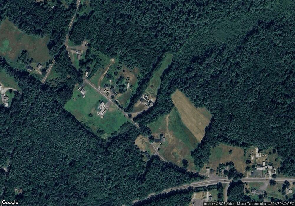
Map
Nearby Homes
- 0016/001 Newhall Rd
- 296 N Berwick Rd
- 238 Merriland Ridge Rd
- Lot 13 Laney Ln
- 9 Jennifer Ln Unit 3
- 20 Locksmith Ln
- 86 Moose Bog Ln
- 89 Boyds Corner Rd
- 9 Willow Bend Ln
- 9 Snows Ct
- 43 Michaels Rd
- 92 High St
- 18 Maple St
- 1594 Tatnic Rd Unit Lot A
- 280 N Berwick Rd
- 4 Natures Way
- 3 Natures Way
- 1 Natures Way
- Lot #5 Adams Bridge Rd
- 12 Puffin Ln
Your Personal Tour Guide
Ask me questions while you tour the home.