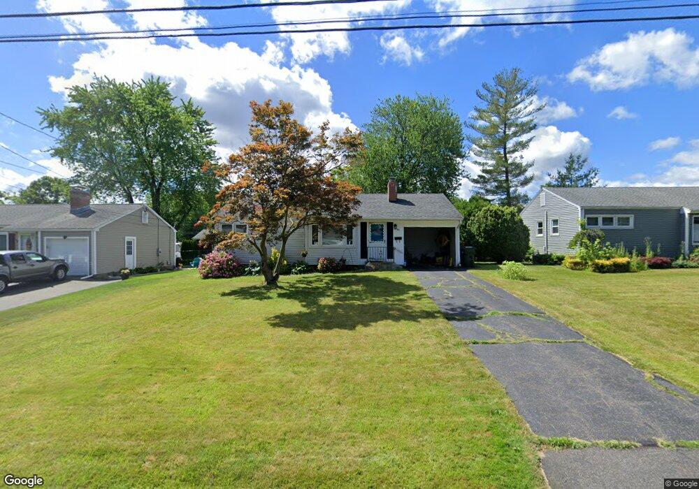
87 Harding St Wethersfield, CT 06109
Estimated Value: $319,045 - $336,000
3
Beds
1
Bath
987
Sq Ft
$331/Sq Ft
Est. Value
About This Home
This home is located at 87 Harding St, Wethersfield, CT 06109 and is currently estimated at $326,511, approximately $330 per square foot. 87 Harding St is a home located in Hartford County with nearby schools including Emerson-Williams School, Silas Deane Middle School, and Wethersfield High School.
Ownership History
Date
Name
Owned For
Owner Type
Purchase Details
Closed on
Jan 19, 2016
Sold by
Todaro Paul J and Todaro Jennifer M
Bought by
Cook Cristina L
Current Estimated Value
Home Financials for this Owner
Home Financials are based on the most recent Mortgage that was taken out on this home.
Original Mortgage
$172,902
Outstanding Balance
$137,558
Interest Rate
3.97%
Estimated Equity
$188,953
Purchase Details
Closed on
Sep 12, 2012
Sold by
Todaro Paul J
Bought by
Todaro Paul J and Todaro Jennifer M
Home Financials for this Owner
Home Financials are based on the most recent Mortgage that was taken out on this home.
Original Mortgage
$173,000
Interest Rate
3.57%
Purchase Details
Closed on
Sep 4, 2007
Sold by
Coleman Helen J
Bought by
Todaro Paul J
Home Financials for this Owner
Home Financials are based on the most recent Mortgage that was taken out on this home.
Original Mortgage
$186,200
Interest Rate
6.71%
Create a Home Valuation Report for This Property
The Home Valuation Report is an in-depth analysis detailing your home's value as well as a comparison with similar homes in the area
Home Values in the Area
Average Home Value in this Area
Purchase History
| Date | Buyer | Sale Price | Title Company |
|---|---|---|---|
| Cook Cristina L | $178,250 | -- | |
| Todaro Paul J | -- | -- | |
| Todaro Paul J | $196,000 | -- |
Source: Public Records
Mortgage History
| Date | Status | Borrower | Loan Amount |
|---|---|---|---|
| Open | Todaro Paul J | $172,902 | |
| Closed | Todaro Paul J | $12,300 | |
| Previous Owner | Todaro Paul J | $173,000 | |
| Previous Owner | Todaro Paul J | $186,200 |
Source: Public Records
Tax History
| Year | Tax Paid | Tax Assessment Tax Assessment Total Assessment is a certain percentage of the fair market value that is determined by local assessors to be the total taxable value of land and additions on the property. | Land | Improvement |
|---|---|---|---|---|
| 2025 | $7,486 | $181,610 | $69,260 | $112,350 |
| 2024 | $5,655 | $130,850 | $72,110 | $58,740 |
| 2023 | $5,467 | $130,850 | $72,110 | $58,740 |
| 2022 | $5,375 | $130,850 | $72,110 | $58,740 |
| 2021 | $5,322 | $130,850 | $72,110 | $58,740 |
| 2020 | $5,324 | $130,850 | $72,110 | $58,740 |
| 2019 | $5,331 | $130,850 | $72,110 | $58,740 |
| 2018 | $5,432 | $133,200 | $69,000 | $64,200 |
| 2017 | $5,297 | $133,200 | $69,000 | $64,200 |
| 2016 | $5,134 | $133,200 | $69,000 | $64,200 |
| 2015 | $4,949 | $129,600 | $69,000 | $60,600 |
| 2014 | $4,762 | $129,600 | $69,000 | $60,600 |
Source: Public Records
Map
Nearby Homes
- 295 Ridge Rd Unit 8
- 55 Rutledge Rd
- 144 Brown St
- 1 Bristol St
- 19 Albert Ave
- 1 Brussels Ave
- 173 Timber Trail
- 20 Forest Dr
- 63 Wells Farm Dr
- 129 Goff Rd
- 192 Wolcott Hill Rd
- 219-221 Jordan Ln
- 764 Ridge Rd
- 62 Schoolhouse Crossing
- 15 Potter Crossing
- 43 Edward St
- 25 Tinsmith Crossing
- 23 Hillcrest Ave
- 17 Salem St
- 158 Dix Rd
Your Personal Tour Guide
Ask me questions while you tour the home.