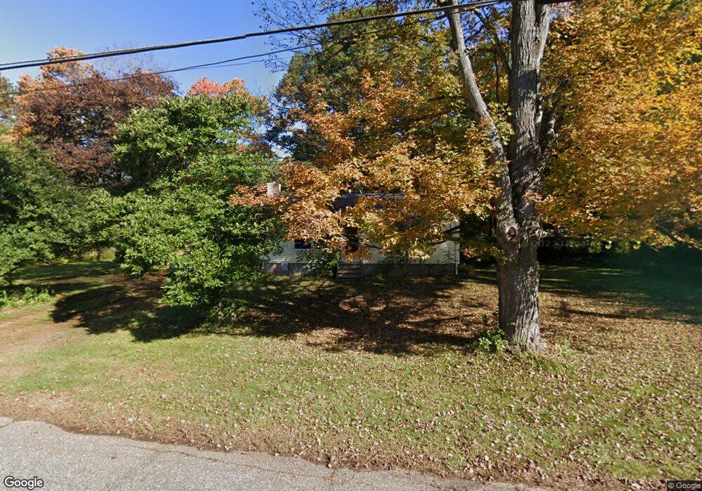
87 Johnson Rd Columbia, CT 06237
Estimated Value: $282,000 - $326,000
2
Beds
1
Bath
910
Sq Ft
$327/Sq Ft
Est. Value
About This Home
This home is located at 87 Johnson Rd, Columbia, CT 06237 and is currently estimated at $297,260, approximately $326 per square foot. 87 Johnson Rd is a home located in Tolland County with nearby schools including Horace W. Porter School and St Mary St Joseph School.
Ownership History
Date
Name
Owned For
Owner Type
Purchase Details
Closed on
Oct 20, 1998
Sold by
Carfield Beverly and Carfield Charles
Bought by
Post Linda
Current Estimated Value
Home Financials for this Owner
Home Financials are based on the most recent Mortgage that was taken out on this home.
Original Mortgage
$102,250
Interest Rate
6.8%
Purchase Details
Closed on
May 15, 1992
Sold by
Scott Lorraine Est
Bought by
Johnson Beverly
Home Financials for this Owner
Home Financials are based on the most recent Mortgage that was taken out on this home.
Original Mortgage
$74,250
Interest Rate
8.89%
Mortgage Type
Unknown
Create a Home Valuation Report for This Property
The Home Valuation Report is an in-depth analysis detailing your home's value as well as a comparison with similar homes in the area
Home Values in the Area
Average Home Value in this Area
Purchase History
| Date | Buyer | Sale Price | Title Company |
|---|---|---|---|
| Post Linda | $105,000 | -- | |
| Johnson Beverly | $99,000 | -- |
Source: Public Records
Mortgage History
| Date | Status | Borrower | Loan Amount |
|---|---|---|---|
| Open | Johnson Beverly | $137,500 | |
| Closed | Johnson Beverly | $140,000 | |
| Closed | Johnson Beverly | $102,250 | |
| Previous Owner | Johnson Beverly | $74,250 |
Source: Public Records
Tax History
| Year | Tax Paid | Tax Assessment Tax Assessment Total Assessment is a certain percentage of the fair market value that is determined by local assessors to be the total taxable value of land and additions on the property. | Land | Improvement |
|---|---|---|---|---|
| 2025 | $3,190 | $108,990 | $41,090 | $67,900 |
| 2024 | $3,065 | $108,990 | $41,090 | $67,900 |
| 2023 | $2,824 | $108,990 | $41,090 | $67,900 |
| 2022 | $2,820 | $108,990 | $41,090 | $67,900 |
| 2021 | $2,918 | $99,500 | $41,300 | $58,200 |
| 2020 | $2,918 | $99,500 | $41,300 | $58,200 |
| 2019 | $2,918 | $99,500 | $41,300 | $58,200 |
| 2018 | $2,918 | $99,500 | $41,300 | $58,200 |
| 2017 | $2,874 | $99,500 | $41,300 | $58,200 |
| 2016 | $2,939 | $107,100 | $41,300 | $65,800 |
| 2015 | $2,841 | $104,700 | $38,900 | $65,800 |
| 2014 | $2,841 | $104,700 | $38,900 | $65,800 |
Source: Public Records
Map
Nearby Homes