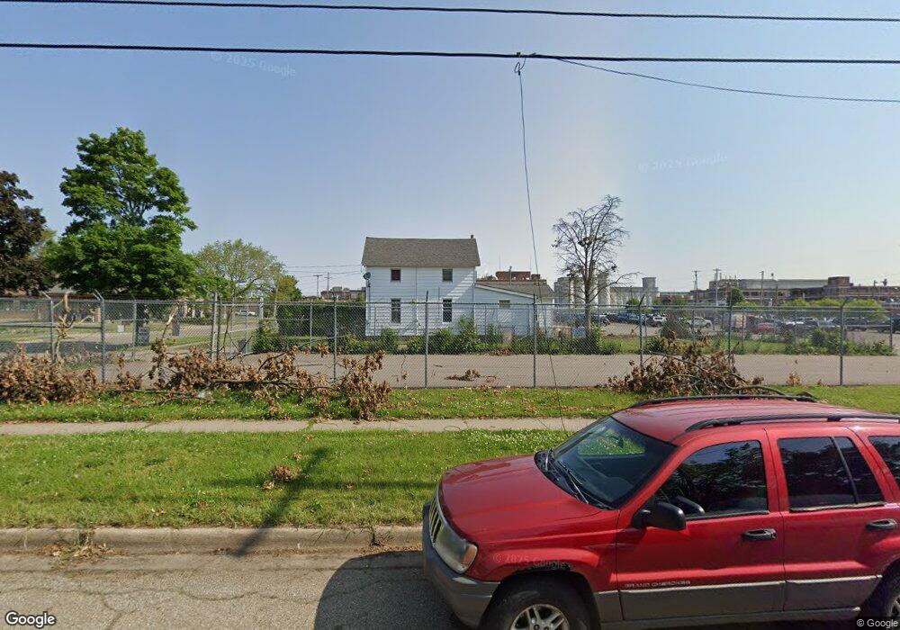
87 Nelson St Battle Creek, MI 49014
Post Franklin NeighborhoodEstimated Value: $73,204 - $108,000
3
Beds
1
Bath
1,139
Sq Ft
$78/Sq Ft
Est. Value
About This Home
This home is located at 87 Nelson St, Battle Creek, MI 49014 and is currently estimated at $89,051, approximately $78 per square foot. 87 Nelson St is a home located in Calhoun County with nearby schools including Post-Franklin Elementary School, Springfield Middle School, and Battle Creek Central High School.
Ownership History
Date
Name
Owned For
Owner Type
Purchase Details
Closed on
Mar 30, 2020
Sold by
Gunning Timothy R and Gunning Julie Ann
Bought by
Kistler Properties Llc
Current Estimated Value
Purchase Details
Closed on
Jul 28, 2016
Sold by
The Timothy R Gunning Sr Living Trust
Bought by
Gunning Timothy R and Gunning Julie Ann
Purchase Details
Closed on
Dec 20, 2012
Sold by
Gunning Timothy R and Gunning Phyllis M
Bought by
Gunning Timothy R and Timothy R Gunning Sr Living Tr
Purchase Details
Closed on
Oct 16, 2008
Sold by
Chantrene Rhan B and Chantrene Nancy L
Bought by
Gunning Timothy R and Gunning Rose A
Purchase Details
Closed on
Jan 22, 1998
Bought by
Gunning
Create a Home Valuation Report for This Property
The Home Valuation Report is an in-depth analysis detailing your home's value as well as a comparison with similar homes in the area
Home Values in the Area
Average Home Value in this Area
Purchase History
| Date | Buyer | Sale Price | Title Company |
|---|---|---|---|
| Kistler Properties Llc | -- | None Available | |
| Gunning Timothy R | $12,840 | Devon Title Agency | |
| Gunning Timothy R | -- | Attorney | |
| Gunning Timothy R | $63,394 | None Available | |
| Gunning | $10,500 | -- |
Source: Public Records
Tax History Compared to Growth
Tax History
| Year | Tax Paid | Tax Assessment Tax Assessment Total Assessment is a certain percentage of the fair market value that is determined by local assessors to be the total taxable value of land and additions on the property. | Land | Improvement |
|---|---|---|---|---|
| 2025 | -- | $26,300 | $0 | $0 |
| 2024 | $571 | $22,044 | $0 | $0 |
| 2023 | $726 | $20,085 | $0 | $0 |
| 2022 | $516 | $16,658 | $0 | $0 |
| 2021 | $690 | $15,255 | $0 | $0 |
| 2020 | $650 | $15,096 | $0 | $0 |
| 2019 | $691 | $12,116 | $0 | $0 |
| 2018 | $691 | $10,054 | $450 | $9,604 |
| 2017 | $763 | $12,282 | $0 | $0 |
| 2016 | $752 | $12,820 | $0 | $0 |
| 2015 | $737 | $15,078 | $2,293 | $12,785 |
| 2014 | $737 | $11,476 | $2,293 | $9,183 |
Source: Public Records
Map
Nearby Homes
- 94 Nelson St
- 204 Lathrop Ave
- 206 Lathrop Ave
- 88 Nelson St
- 196 Lathrop Ave
- 208 Lathrop Ave
- 190 Lathrop Ave
- 188 Lathrop Ave
- 240 Cliff St
- 212 Lathrop Ave
- 109 Nelson St
- 184 Lathrop Ave
- 56 Marjorie St
- 31 Marjorie St
- 37 Marjorie St
- 111 Nelson St
- 220 Lathrop Ave
- 114 Nelson St
- 97 Grenville St
- 178 Lathrop Ave