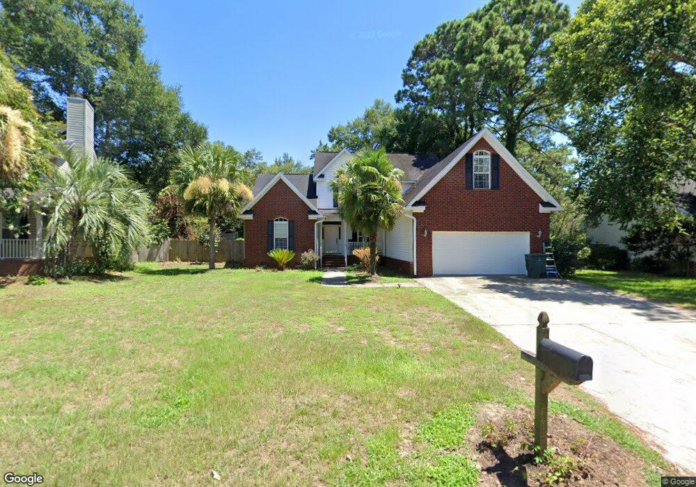
87 Oyster Point Row Unit 1836B Charleston, SC 29412
James Island NeighborhoodEstimated Value: $750,000 - $853,095
4
Beds
3
Baths
2,400
Sq Ft
$330/Sq Ft
Est. Value
About This Home
This home is located at 87 Oyster Point Row Unit 1836B, Charleston, SC 29412 and is currently estimated at $791,024, approximately $329 per square foot. 87 Oyster Point Row Unit 1836B is a home located in Charleston County with nearby schools including Harbor View Elementary School, Camp Road Middle, and James Island Charter High School.
Ownership History
Date
Name
Owned For
Owner Type
Purchase Details
Closed on
Apr 29, 2019
Sold by
Kuester Karl H and Kuester Melissa H
Bought by
Kuester Melissa H
Current Estimated Value
Purchase Details
Closed on
Apr 30, 2018
Sold by
Plott Jacqueline Moore
Bought by
Plott Jacqueline Moore and Revocable Trust Declaration Of Trust By
Purchase Details
Closed on
Oct 19, 2004
Sold by
Rivers Point Row Llc
Bought by
Moore Doris Elks and Plott Jacqueline Moore
Create a Home Valuation Report for This Property
The Home Valuation Report is an in-depth analysis detailing your home's value as well as a comparison with similar homes in the area
Home Values in the Area
Average Home Value in this Area
Purchase History
| Date | Buyer | Sale Price | Title Company |
|---|---|---|---|
| Kuester Melissa H | -- | None Available | |
| Plott Jacqueline Moore | -- | None Available | |
| Moore Doris Elks | $110,900 | -- |
Source: Public Records
Tax History Compared to Growth
Tax History
| Year | Tax Paid | Tax Assessment Tax Assessment Total Assessment is a certain percentage of the fair market value that is determined by local assessors to be the total taxable value of land and additions on the property. | Land | Improvement |
|---|---|---|---|---|
| 2024 | $2,541 | $17,140 | $0 | $0 |
| 2023 | $2,265 | $17,140 | $0 | $0 |
| 2022 | $1,898 | $15,350 | $0 | $0 |
| 2021 | $1,990 | $15,350 | $0 | $0 |
| 2020 | $2,063 | $15,350 | $0 | $0 |
| 2019 | $1,835 | $13,340 | $0 | $0 |
| 2017 | $1,772 | $13,340 | $0 | $0 |
| 2016 | $1,698 | $13,340 | $0 | $0 |
| 2015 | $1,755 | $13,340 | $0 | $0 |
| 2014 | $1,504 | $0 | $0 | $0 |
| 2011 | -- | $0 | $0 | $0 |
Source: Public Records
Map
Nearby Homes
- 13 Maplecrest Dr
- 31 Maplecrest Dr
- 50 Held Cir Unit 50c
- 55 Held Cir
- 17 S Anderson Ave Unit A,B,C, D
- 8 Brockman Dr
- 1 S Anderson Ave
- 35 Rivers Point Row Unit A
- 6 Commercial Row
- 1416 Camp Rd
- 21 Rivers Point Row Unit 5A
- 21 Rivers Point Row Unit 3C
- 21 Rivers Point Row Unit 10C
- 27 Brockman Dr Unit 27C
- 27 Brockman Dr Unit 27B
- 10 Bass Ln Unit D
- 10 Bass Ln Unit A
- 1402 Camp Rd Unit 3F
- 1402 Camp Rd Unit 15E
- 1402 Camp Rd Unit 9C
- 91 Oyster Point Row
- 83 Oyster Point Row
- 5 Maplecrest Dr
- 1424 Brockman Cir
- 3 Maplecrest Dr
- 7 Maplecrest Dr
- 95 Oyster Point Row
- 1422 Brockman Cir
- 1422 Brockman Cir Unit 1
- 1422 Brockman Cir
- 1422 Maplecrest Dr
- 79 Oyster Point Row
- 1437 Brockman Cir
- 1435 Brockman Cir
- 1433 Brockman Cir
- 15 Maplecrest Dr
- 1431 Brockman Cir
- 17 Brockman Dr
- 11 Maplecrest Dr
- 17 Maplecrest Dr