87 Spar Cove Rd Freeport, ME 04032
Estimated Value: $1,099,000 - $1,873,000
4
Beds
3
Baths
2,406
Sq Ft
$611/Sq Ft
Est. Value
About This Home
This home is located at 87 Spar Cove Rd, Freeport, ME 04032 and is currently estimated at $1,470,618, approximately $611 per square foot. 87 Spar Cove Rd is a home located in Cumberland County with nearby schools including Morse Street School, Mast Landing School, and Freeport Middle School.
Ownership History
Date
Name
Owned For
Owner Type
Purchase Details
Closed on
Jun 16, 2009
Sold by
Smith Robert L
Bought by
Chalko Charles P and Keeley Irene D
Current Estimated Value
Home Financials for this Owner
Home Financials are based on the most recent Mortgage that was taken out on this home.
Original Mortgage
$591,400
Outstanding Balance
$374,661
Interest Rate
4.82%
Mortgage Type
Unknown
Estimated Equity
$1,095,957
Create a Home Valuation Report for This Property
The Home Valuation Report is an in-depth analysis detailing your home's value as well as a comparison with similar homes in the area
Home Values in the Area
Average Home Value in this Area
Purchase History
| Date | Buyer | Sale Price | Title Company |
|---|---|---|---|
| Chalko Charles P | -- | -- |
Source: Public Records
Mortgage History
| Date | Status | Borrower | Loan Amount |
|---|---|---|---|
| Open | Chalko Charles P | $591,400 |
Source: Public Records
Tax History Compared to Growth
Tax History
| Year | Tax Paid | Tax Assessment Tax Assessment Total Assessment is a certain percentage of the fair market value that is determined by local assessors to be the total taxable value of land and additions on the property. | Land | Improvement |
|---|---|---|---|---|
| 2024 | $17,072 | $1,278,800 | $900,100 | $378,700 |
| 2023 | $15,788 | $1,148,200 | $818,000 | $330,200 |
| 2022 | $14,429 | $1,057,100 | $731,800 | $325,300 |
| 2021 | $14,114 | $1,057,200 | $731,800 | $325,400 |
| 2020 | $13,679 | $977,100 | $677,600 | $299,500 |
| 2019 | $13,217 | $924,300 | $639,200 | $285,100 |
| 2018 | $13,756 | $914,000 | $650,000 | $264,000 |
| 2017 | $12,712 | $850,300 | $598,100 | $252,200 |
| 2016 | $12,112 | $766,600 | $533,400 | $233,200 |
| 2015 | $11,621 | $691,700 | $472,700 | $219,000 |
| 2014 | $10,929 | $691,700 | $472,700 | $219,000 |
| 2013 | $10,629 | $670,600 | $449,100 | $221,500 |
Source: Public Records
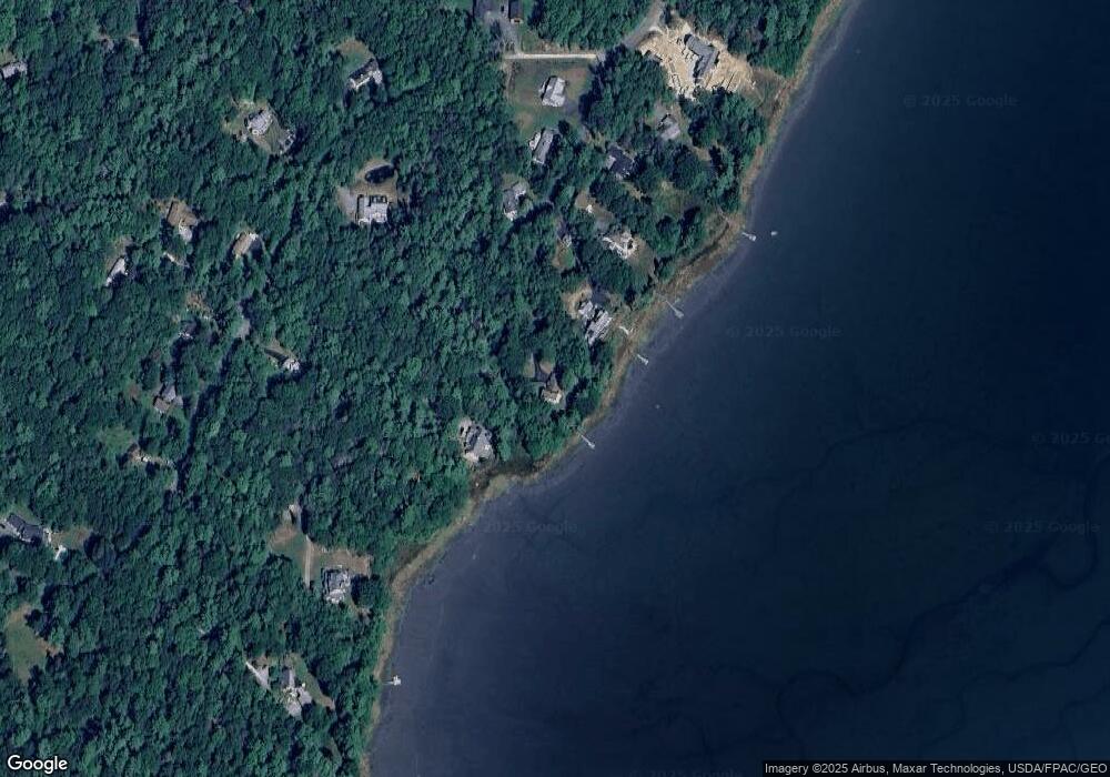
Map
Nearby Homes
- 7 Lmc Ln
- 56 S Freeport Rd
- 4 Sandy Beach Rd
- 26 Harvest Ridge Rd Unit 24
- 71 Merganser Way
- 241 Bluff Rd Unit 4
- 393 E Main St
- 30 Blueberry Cove
- 24 Daybreak Ln
- 203 Bluff Rd Unit 13
- 31 Sequoia Dr
- 52 Blueberry Cove Rd Unit 52
- 15 Sequoia Dr
- 62 Blueberry Cove Rd Unit 62
- 0 Bayview St
- Lot # 4 South St
- 149 E Main St Unit 7
- 44 Maquoit Dr
- 12 West St
- 0 S Freeport Rd