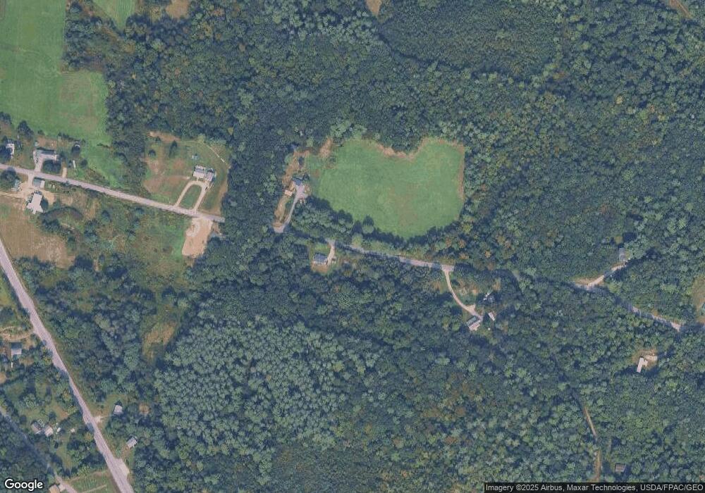
87 Stage Rd Pittston, ME 04345
Estimated Value: $303,000 - $468,000
3
Beds
2
Baths
1,760
Sq Ft
$225/Sq Ft
Est. Value
About This Home
This home is located at 87 Stage Rd, Pittston, ME 04345 and is currently estimated at $395,904, approximately $224 per square foot. 87 Stage Rd is a home located in Kennebec County with nearby schools including Gardiner Area High School and Spurwink School - Chelsea.
Ownership History
Date
Name
Owned For
Owner Type
Purchase Details
Closed on
Apr 18, 2014
Sold by
Odonnell Matthew J
Bought by
Doughty Dale F and Doughty Pamela M
Current Estimated Value
Home Financials for this Owner
Home Financials are based on the most recent Mortgage that was taken out on this home.
Original Mortgage
$140,000
Outstanding Balance
$105,047
Interest Rate
4%
Mortgage Type
Commercial
Estimated Equity
$290,857
Purchase Details
Closed on
May 12, 2009
Sold by
Marston Blaine E and Marston Linda L
Bought by
Odonnell Alesia N and Odonnell Matthew J
Create a Home Valuation Report for This Property
The Home Valuation Report is an in-depth analysis detailing your home's value as well as a comparison with similar homes in the area
Home Values in the Area
Average Home Value in this Area
Purchase History
| Date | Buyer | Sale Price | Title Company |
|---|---|---|---|
| Doughty Dale F | -- | -- | |
| Odonnell Alesia N | -- | -- |
Source: Public Records
Mortgage History
| Date | Status | Borrower | Loan Amount |
|---|---|---|---|
| Open | Doughty Dale F | $140,000 |
Source: Public Records
Tax History
| Year | Tax Paid | Tax Assessment Tax Assessment Total Assessment is a certain percentage of the fair market value that is determined by local assessors to be the total taxable value of land and additions on the property. | Land | Improvement |
|---|---|---|---|---|
| 2024 | $3,681 | $347,300 | $76,000 | $271,300 |
| 2023 | $3,213 | $347,300 | $76,000 | $271,300 |
| 2021 | $3,118 | $221,100 | $50,200 | $170,900 |
| 2020 | $3,095 | $221,100 | $50,200 | $170,900 |
| 2019 | $2,279 | $195,400 | $45,600 | $149,800 |
| 2018 | $2,853 | $195,400 | $45,600 | $149,800 |
| 2017 | $2,814 | $195,400 | $45,600 | $149,800 |
| 2016 | $2,515 | $184,900 | $45,600 | $139,300 |
| 2014 | $2,422 | $184,900 | $45,600 | $139,300 |
Source: Public Records
Map
Nearby Homes
- 11 Cannard St
- 673 River Ave
- 113 Capen Rd
- 000014 Webb Rd
- 1 E Pittston Rd
- 1090 Pittston School St
- 0 E Pittston Rd Unit 1632032
- 65 Deane St
- Lot 7 Marston
- 69 Kinderhook St
- 29 Freemont St
- 0 Brunswick Ave
- 905 Wiscasset Rd
- 42 Stoney Acres Rd
- 23 Skyline Ct
- 10 Brookview Dr
- 57 Central St
- 36 Brunswick Ave
- 1 Central St
- 504 Water St
