Estimated Value: $1,003,294
Studio
--
Bath
5,600
Sq Ft
$179/Sq Ft
Est. Value
About This Home
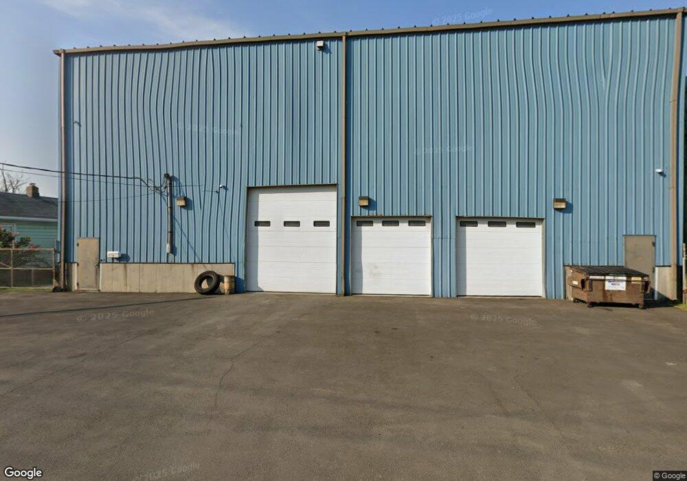
This home is located at 87 Stagg St, Stratford, CT 06615 and is currently estimated at $1,003,294, approximately $179 per square foot. 87 Stagg St is a home located in Fairfield County with nearby schools including Stratford Academy - Johnson House, David Wooster Middle School, and Stratford High School.
Ownership History
Date
Name
Owned For
Owner Type
Purchase Details
Closed on
Sep 15, 2025
Sold by
Thompson Dwayne D
Bought by
87 Stagg Street Llc
Current Estimated Value
Purchase Details
Closed on
Jan 5, 2016
Sold by
Moyher Edward and Moyher Melania
Bought by
Thompson Dwayne D
Home Financials for this Owner
Home Financials are based on the most recent Mortgage that was taken out on this home.
Original Mortgage
$310,000
Interest Rate
3.21%
Mortgage Type
Commercial
Create a Home Valuation Report for This Property
The Home Valuation Report is an in-depth analysis detailing your home's value as well as a comparison with similar homes in the area
Home Values in the Area
Average Home Value in this Area
Purchase History
| Date | Buyer | Sale Price | Title Company |
|---|---|---|---|
| 87 Stagg Street Llc | -- | -- | |
| Thompson Dwayne D | $410,000 | -- |
Source: Public Records
Mortgage History
| Date | Status | Borrower | Loan Amount |
|---|---|---|---|
| Previous Owner | Thompson Dwayne D | $310,000 |
Source: Public Records
Tax History
| Year | Tax Paid | Tax Assessment Tax Assessment Total Assessment is a certain percentage of the fair market value that is determined by local assessors to be the total taxable value of land and additions on the property. | Land | Improvement |
|---|---|---|---|---|
| 2025 | $12,148 | $302,190 | $110,390 | $191,800 |
| 2024 | $12,148 | $302,190 | $110,390 | $191,800 |
| 2023 | $12,148 | $302,190 | $110,390 | $191,800 |
| 2022 | $11,924 | $302,190 | $110,390 | $191,800 |
| 2021 | $11,927 | $302,190 | $110,390 | $191,800 |
| 2020 | $11,979 | $302,190 | $110,390 | $191,800 |
| 2019 | $10,915 | $273,770 | $100,310 | $173,460 |
| 2018 | $10,923 | $273,770 | $100,310 | $173,460 |
| 2017 | $10,943 | $273,770 | $100,310 | $173,460 |
| 2016 | $10,674 | $273,770 | $100,310 | $173,460 |
| 2015 | $10,124 | $273,770 | $100,310 | $173,460 |
| 2014 | $10,750 | $301,700 | $120,190 | $181,510 |
Source: Public Records
Map
Nearby Homes
- 15 Harding Ave
- 62 Roosevelt Ave
- 325 Mckinley Ave
- 366 Columbus Ave
- 394 Harding Ave
- 425 Mckinley Ave
- 68 Edwin St Unit 70
- 180 Read St
- 120 Chelsea St
- 553 Birdseye St
- 1034 Connecticut Ave
- 102 Carroll Ave
- 202 Hewitt St
- 98 Carroll Ave Unit 100
- 515 Birdseye St
- 312 Jackson Ave
- 306 Carroll Ave
- 19 Wooster Ave
- 1440 Stratford Ave
- 1462 South Ave
- 77 Stagg St
- 80 Stagg St
- 255 Stagg St
- 238 Stagg St
- 60 Ontario St
- 91 Browning St
- 55 Browning St Unit 6 & 7
- 62 Stagg St
- 35 Ontario St
- 35 Ontario St
- 784 Honeyspot Rd Unit 2
- 784 Honeyspot Rd Unit 3
- 724 Honeyspot Rd
- 724 Honeyspot Rd Unit B
- 798 Honeyspot Rd
- 694 Honeyspot Rd
- 765 Honeyspot Rd
- 684 Honeyspot Rd
- 684 Honeyspot Rd Unit 2
- 684 Honeyspot Rd Unit 3
Your Personal Tour Guide
Ask me questions while you tour the home.