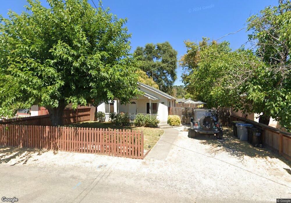
870 Martin St Lakeport, CA 95453
Estimated Value: $271,000 - $322,000
3
Beds
2
Baths
1,111
Sq Ft
$256/Sq Ft
Est. Value
About This Home
This home is located at 870 Martin St, Lakeport, CA 95453 and is currently estimated at $284,582, approximately $256 per square foot. 870 Martin St is a home located in Lake County with nearby schools including Lakeport Elementary School, Terrace Middle School, and Clear Lake High School.
Ownership History
Date
Name
Owned For
Owner Type
Purchase Details
Closed on
Sep 25, 2007
Sold by
Bank Of New York
Bought by
Mcaloon Michael and Mcaloon Rebecca
Current Estimated Value
Home Financials for this Owner
Home Financials are based on the most recent Mortgage that was taken out on this home.
Original Mortgage
$177,000
Outstanding Balance
$112,294
Interest Rate
6.61%
Mortgage Type
Purchase Money Mortgage
Estimated Equity
$172,288
Purchase Details
Closed on
Jun 28, 2007
Sold by
Muniz Miguel
Bought by
Bank Of New York
Create a Home Valuation Report for This Property
The Home Valuation Report is an in-depth analysis detailing your home's value as well as a comparison with similar homes in the area
Home Values in the Area
Average Home Value in this Area
Purchase History
| Date | Buyer | Sale Price | Title Company |
|---|---|---|---|
| Mcaloon Michael | $177,000 | First American Title Co | |
| Bank Of New York | $213,750 | First American Title |
Source: Public Records
Mortgage History
| Date | Status | Borrower | Loan Amount |
|---|---|---|---|
| Open | Mcaloon Michael | $177,000 |
Source: Public Records
Tax History Compared to Growth
Tax History
| Year | Tax Paid | Tax Assessment Tax Assessment Total Assessment is a certain percentage of the fair market value that is determined by local assessors to be the total taxable value of land and additions on the property. | Land | Improvement |
|---|---|---|---|---|
| 2025 | $2,818 | $232,476 | $91,938 | $140,538 |
| 2024 | $2,748 | $227,919 | $90,136 | $137,783 |
| 2023 | $2,698 | $223,451 | $88,369 | $135,082 |
| 2022 | $2,651 | $219,071 | $86,637 | $132,434 |
| 2021 | $2,629 | $214,777 | $84,939 | $129,838 |
| 2020 | $2,548 | $212,576 | $84,069 | $128,507 |
| 2019 | $2,535 | $150,450 | $59,500 | $90,950 |
Source: Public Records
Map
Nearby Homes
- 1025 Martin St Unit 32
- 1025 Martin St Unit 2
- 1025 Martin St Unit 13
- 1025 Armstrong St
- 320 Armstrong St
- 771 Fourth St
- 250 3rd St
- 130 Armstrong St
- 360 3rd St
- 201 S Main St
- 301 N High St
- 977 Sixth St
- 600 6th St
- 940 Sixth St
- 220 4th St
- 670 Manzanita St
- 455 N Forbes St
- 55 E St
- 302 N Main St
- 70 Lupoyoma Ave
- 250 S Starr St
- 850 Martin St
- 225 S Starr St
- 875 Armstrong St
- 801 Armstrong St
- 252 S Polk St
- 211 S Starr St
- 915 Armstrong St
- 224 S Polk St
- 960 Martin St
- 770 Martin St
- 955 Armstrong St
- 695 Armstrong St
- 963 Armstrong St
- 510 Armstrong St
- 880 Armstrong St
- 850 Armstrong St
- 990 Martin St
- 820 Armstrong St
- 688 Martin St