870 Myrick Branch Rd Pulaski, TN 38478
Estimated Value: $305,000 - $423,000
--
Bed
3
Baths
1,984
Sq Ft
$183/Sq Ft
Est. Value
About This Home
This home is located at 870 Myrick Branch Rd, Pulaski, TN 38478 and is currently estimated at $362,336, approximately $182 per square foot. 870 Myrick Branch Rd is a home located in Giles County with nearby schools including Minor Hill School and Giles County High School.
Ownership History
Date
Name
Owned For
Owner Type
Purchase Details
Closed on
Jun 22, 2012
Sold by
Ohio Investments Llc
Bought by
Harris John Derick
Current Estimated Value
Purchase Details
Closed on
Mar 28, 2012
Sold by
Secretary Of Housing And U
Bought by
Ohio Investments Llc
Purchase Details
Closed on
Nov 30, 2009
Sold by
Turley John
Bought by
The Secretary Of Housing And U and C/O Pyramid Real Estate Svcs
Purchase Details
Closed on
Jun 2, 1995
Bought by
Turley John and Turley Sarah
Create a Home Valuation Report for This Property
The Home Valuation Report is an in-depth analysis detailing your home's value as well as a comparison with similar homes in the area
Home Values in the Area
Average Home Value in this Area
Purchase History
| Date | Buyer | Sale Price | Title Company |
|---|---|---|---|
| Harris John Derick | $56,925 | -- | |
| Ohio Investments Llc | $24,741 | -- | |
| The Secretary Of Housing And U | $177,199 | -- | |
| Turley John | $17,500 | -- |
Source: Public Records
Tax History Compared to Growth
Tax History
| Year | Tax Paid | Tax Assessment Tax Assessment Total Assessment is a certain percentage of the fair market value that is determined by local assessors to be the total taxable value of land and additions on the property. | Land | Improvement |
|---|---|---|---|---|
| 2025 | $1,363 | $68,600 | $0 | $0 |
| 2024 | $1,363 | $68,600 | $7,100 | $61,500 |
| 2023 | $1,363 | $68,600 | $7,100 | $61,500 |
| 2022 | $1,363 | $68,600 | $7,100 | $61,500 |
| 2021 | $1,303 | $46,125 | $5,050 | $41,075 |
| 2020 | $1,303 | $46,125 | $5,050 | $41,075 |
| 2019 | $1,254 | $46,125 | $5,050 | $41,075 |
| 2018 | $1,254 | $44,400 | $5,050 | $39,350 |
| 2017 | $1,254 | $44,400 | $5,050 | $39,350 |
| 2016 | $1,242 | $41,800 | $5,125 | $36,675 |
| 2015 | $1,158 | $41,800 | $5,125 | $36,675 |
| 2014 | $1,158 | $41,805 | $0 | $0 |
Source: Public Records
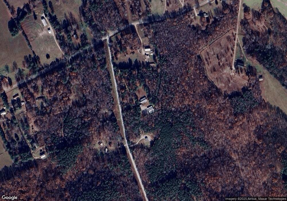
Map
Nearby Homes
- 1240 Johnson Branch Rd
- 100 Academy Rd
- 3750 Fall River Rd
- 125 Ben Johnson Rd
- 140 Ben Johnson Rd
- 130 Ben Johnson Rd
- 4000 Hurricane Creek Rd
- 1 Hurricane Creek Rd
- 3467 Fall River Rd
- 1700 Hurricane Creek Rd
- 754 Chestnut Grove Rd
- 812 Good Hope Rd
- 501 Chestnut Grove Rd
- 0 Chestnut Grove Rd Unit RTC2941652
- 0 Chestnut Grove Rd Unit RTC3045342
- 395 Good Hope Rd
- 0 E Cave Spring Rd Unit RTC2929243
- 0 Smith Hill Rd Unit RTC3030754
- 0 Smith Hill Rd Unit RTC2787571
- 0 Smith Hill Rd Unit RTC2787572
- 1630 Johnson Branch Rd
- 1569 Johnson Branch Rd
- 1549 Johnson Branch Rd
- 1649 Johnson Branch Rd
- 1638 Johnson Branch Rd
- 1655 Johnson Branch Rd
- 805 Myrick Branch Rd
- 1640 Johnson Branch Rd
- 638 Myrick Branch Rd
- 795 Myrick Branch Rd
- 1715 Johnson Branch Rd
- 1537 Johnson Branch Rd
- 1500 Johnson Branch Rd
- 1400 Johnson Branch Rd
- 757 Myrick Branch Rd
- 757 Myrick Branch Rd
- 1790 Johnson Branch Rd
- 1721 Johnson Branch Rd
- 600 Myrick Branch Rd
- 1729 Johnson Branch Rd