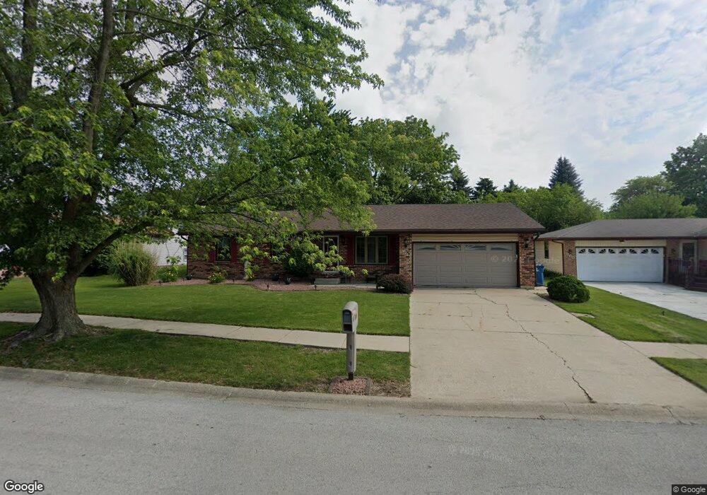
870 Pheasant Dr Bradley, IL 60915
Estimated Value: $237,000 - $260,000
3
Beds
2
Baths
1,460
Sq Ft
$171/Sq Ft
Est. Value
About This Home
This home is located at 870 Pheasant Dr, Bradley, IL 60915 and is currently estimated at $249,883, approximately $171 per square foot. 870 Pheasant Dr is a home located in Kankakee County with nearby schools including Bradley East Elementary School, Bradley West Elementary School, and Bradley Central Middle School.
Ownership History
Date
Name
Owned For
Owner Type
Purchase Details
Closed on
Feb 16, 2011
Sold by
Gallo Teresa L
Bought by
Varner Jeffrey A
Current Estimated Value
Home Financials for this Owner
Home Financials are based on the most recent Mortgage that was taken out on this home.
Original Mortgage
$87,718
Outstanding Balance
$60,023
Interest Rate
4.78%
Mortgage Type
FHA
Estimated Equity
$189,860
Create a Home Valuation Report for This Property
The Home Valuation Report is an in-depth analysis detailing your home's value as well as a comparison with similar homes in the area
Home Values in the Area
Average Home Value in this Area
Purchase History
| Date | Buyer | Sale Price | Title Company |
|---|---|---|---|
| Varner Jeffrey A | $90,000 | Fidelity Nat L Title Ins Co |
Source: Public Records
Mortgage History
| Date | Status | Borrower | Loan Amount |
|---|---|---|---|
| Open | Varner Jeffrey A | $87,718 |
Source: Public Records
Tax History
| Year | Tax Paid | Tax Assessment Tax Assessment Total Assessment is a certain percentage of the fair market value that is determined by local assessors to be the total taxable value of land and additions on the property. | Land | Improvement |
|---|---|---|---|---|
| 2024 | $5,458 | $68,452 | $6,562 | $61,890 |
| 2023 | $5,208 | $63,382 | $6,076 | $57,306 |
| 2022 | $5,215 | $61,091 | $5,856 | $55,235 |
| 2021 | $4,505 | $53,183 | $5,727 | $47,456 |
| 2020 | $4,289 | $51,760 | $5,574 | $46,186 |
| 2019 | $4,184 | $48,528 | $5,412 | $43,116 |
| 2018 | $4,106 | $47,811 | $5,332 | $42,479 |
| 2017 | $4,088 | $46,645 | $5,202 | $41,443 |
| 2016 | $3,918 | $45,155 | $5,125 | $40,030 |
| 2015 | $3,735 | $43,184 | $5,074 | $38,110 |
| 2014 | $3,686 | $43,686 | $5,074 | $38,612 |
| 2013 | -- | $44,535 | $5,074 | $39,461 |
Source: Public Records
Map
Nearby Homes
- 1008 Mallard Dr
- 973 Cardinal Dr
- 1443 Truman Dr
- 1372 E Armour Rd
- 463 Edgebrook Dr
- 1325 N Arthur Burch Dr Unit B16
- 166 N Randolph Ave
- 135 S Jackson Ave
- 1071 E Broadway St
- 224 N La Salle Ave
- 165 S Madison Ave
- 1355 N Arthur Burch Dr Unit R21
- 1355 N Arthur Burch Dr Unit F09
- 189 N La Salle Ave
- 1622 Amhurst Way
- 284 N Clinton Ave
- 1696 Yorktown Dr
- 1802 Derby Dr
- 1840 Yorktown Dr
- 609 Ivy Ln
- 880 Pheasant Dr
- 860 Pheasant Dr
- 890 Pheasant Dr
- 947 Mallard Dr
- 931 Mallard Dr
- 955 Flamingo Ln
- 863 Pheasant Dr
- 851 Pheasant Dr
- 915 Mallard Dr
- 920 Pheasant Dr
- 963 Mallard Dr
- 875 Pheasant Dr
- 887 Pheasant Dr
- 924 Flamingo Ln
- 940 Pheasant Dr
- 899 Pheasant Dr
- 972 Flamingo Ln
- 936 Flamingo Ln
- 912 Flamingo Ln
- 950 Mallard Dr
Your Personal Tour Guide
Ask me questions while you tour the home.