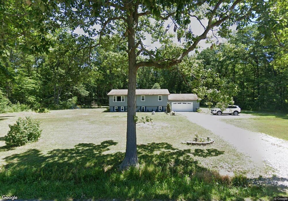
870 Watson Rd Deerfield, OH 44411
Estimated Value: $231,124 - $342,000
3
Beds
2
Baths
1,950
Sq Ft
$148/Sq Ft
Est. Value
About This Home
This home is located at 870 Watson Rd, Deerfield, OH 44411 and is currently estimated at $289,281, approximately $148 per square foot. 870 Watson Rd is a home located in Portage County with nearby schools including Southeast High School.
Ownership History
Date
Name
Owned For
Owner Type
Purchase Details
Closed on
Apr 4, 2022
Sold by
Ingram Jacob D
Bought by
Gwendolyn Ingram
Current Estimated Value
Purchase Details
Closed on
Feb 7, 2002
Sold by
Burdell Pettit Kenneth and Louise Alice
Bought by
Ingram Jacob D and Ingram Gwendolyn
Home Financials for this Owner
Home Financials are based on the most recent Mortgage that was taken out on this home.
Original Mortgage
$162,650
Interest Rate
6.95%
Mortgage Type
VA
Purchase Details
Closed on
Oct 9, 1992
Bought by
Pettit Kenneth Burdell
Create a Home Valuation Report for This Property
The Home Valuation Report is an in-depth analysis detailing your home's value as well as a comparison with similar homes in the area
Home Values in the Area
Average Home Value in this Area
Purchase History
| Date | Buyer | Sale Price | Title Company |
|---|---|---|---|
| Gwendolyn Ingram | -- | -- | |
| Ingram Jacob D | $162,700 | Midland Commerce Group | |
| Pettit Kenneth Burdell | $75,000 | -- |
Source: Public Records
Mortgage History
| Date | Status | Borrower | Loan Amount |
|---|---|---|---|
| Previous Owner | Ingram Jacob D | $162,650 |
Source: Public Records
Tax History Compared to Growth
Tax History
| Year | Tax Paid | Tax Assessment Tax Assessment Total Assessment is a certain percentage of the fair market value that is determined by local assessors to be the total taxable value of land and additions on the property. | Land | Improvement |
|---|---|---|---|---|
| 2024 | $2,498 | $71,930 | $8,050 | $63,880 |
| 2023 | $2,067 | $53,970 | $5,740 | $48,230 |
| 2022 | $2,148 | $53,970 | $5,740 | $48,230 |
| 2021 | $2,148 | $53,970 | $5,740 | $48,230 |
| 2020 | $1,744 | $41,720 | $5,740 | $35,980 |
| 2019 | $1,748 | $41,720 | $5,740 | $35,980 |
| 2018 | $1,789 | $40,360 | $5,500 | $34,860 |
| 2017 | $1,789 | $40,360 | $5,500 | $34,860 |
| 2016 | $1,782 | $40,360 | $5,500 | $34,860 |
| 2015 | $1,786 | $40,360 | $5,500 | $34,860 |
| 2014 | $1,822 | $40,360 | $5,500 | $34,860 |
| 2013 | $1,803 | $40,360 | $5,500 | $34,860 |
Source: Public Records
Map
Nearby Homes
- 1060 State Route 14
- 9663 Berlin Heights Dr
- 0 Ohio 14
- 1731 Ohio 225
- 1864 State Route 225
- 20871 N Benton Rd W
- 10569 Shadyside Ln
- 2171 Alliance Rd
- 1440 Porter Rd
- 2332 McClintocksburg Rd
- 10745 Leffingwell Rd
- 105 Hartzell Rd
- 10985 Johnson Rd
- 2953 State Route 225
- 0 Knoll St NE
- 15789 Coalbank St NE
- 15520 Coalbank St NE
- 2880 State Route 14
- 5925 Bedell Rd
- 11030 12th St