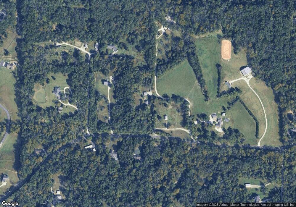
8705 Byrnesville Rd Cedar Hill, MO 63016
Estimated Value: $165,545 - $372,000
--
Bed
1
Bath
1,866
Sq Ft
$143/Sq Ft
Est. Value
About This Home
This home is located at 8705 Byrnesville Rd, Cedar Hill, MO 63016 and is currently estimated at $266,636, approximately $142 per square foot. 8705 Byrnesville Rd is a home located in Jefferson County with nearby schools including Northwest High School.
Ownership History
Date
Name
Owned For
Owner Type
Purchase Details
Closed on
Apr 15, 2009
Sold by
Hitt Kevin Corey and Hitt Kevin C
Bought by
Hitt Kevin C and Hitt Patricia A
Current Estimated Value
Home Financials for this Owner
Home Financials are based on the most recent Mortgage that was taken out on this home.
Original Mortgage
$88,500
Outstanding Balance
$56,216
Interest Rate
5.03%
Mortgage Type
New Conventional
Estimated Equity
$210,420
Purchase Details
Closed on
Jan 27, 1999
Sold by
Hitt Kevin Corey and Hitt Robin Jamie
Bought by
Hitt Kevin Corey
Home Financials for this Owner
Home Financials are based on the most recent Mortgage that was taken out on this home.
Original Mortgage
$61,850
Interest Rate
6.79%
Purchase Details
Closed on
Jun 20, 1997
Sold by
Hitt James D and Hitt Deborah A
Bought by
Hitt Kevin Corey and Hitt Robin Jamie
Create a Home Valuation Report for This Property
The Home Valuation Report is an in-depth analysis detailing your home's value as well as a comparison with similar homes in the area
Home Values in the Area
Average Home Value in this Area
Purchase History
| Date | Buyer | Sale Price | Title Company |
|---|---|---|---|
| Hitt Kevin C | -- | Nations Title Agency Mo Inc | |
| Hitt Kevin Corey | -- | -- | |
| Hitt Kevin Corey | -- | -- |
Source: Public Records
Mortgage History
| Date | Status | Borrower | Loan Amount |
|---|---|---|---|
| Open | Hitt Kevin C | $88,500 | |
| Closed | Hitt Kevin Corey | $61,850 |
Source: Public Records
Tax History Compared to Growth
Tax History
| Year | Tax Paid | Tax Assessment Tax Assessment Total Assessment is a certain percentage of the fair market value that is determined by local assessors to be the total taxable value of land and additions on the property. | Land | Improvement |
|---|---|---|---|---|
| 2025 | $1,569 | $21,700 | $4,500 | $17,200 |
| 2024 | $1,569 | $20,700 | $4,500 | $16,200 |
| 2023 | $1,569 | $20,700 | $4,500 | $16,200 |
| 2022 | $1,547 | $20,700 | $4,500 | $16,200 |
| 2021 | $1,547 | $20,700 | $4,500 | $16,200 |
| 2020 | $1,471 | $19,100 | $4,100 | $15,000 |
| 2019 | $1,470 | $19,100 | $4,100 | $15,000 |
| 2018 | $1,466 | $19,100 | $4,100 | $15,000 |
| 2017 | $1,397 | $19,100 | $4,100 | $15,000 |
| 2016 | $1,251 | $17,100 | $4,100 | $13,000 |
| 2015 | $1,097 | $17,100 | $4,100 | $13,000 |
| 2013 | $1,097 | $16,000 | $3,700 | $12,300 |
Source: Public Records
Map
Nearby Homes
- 5046 Squire Ln
- 5022 Squire Ln
- 5193 Athlone Ct
- 8506 Sagamore Dr Unit 15A
- 8500 Sagamore Dr Unit 14
- 1 Canter Creek Farms
- 2 Canter Creek Farms
- 5615 Sunnywood Dr
- 0 Freeman Acres
- 4264 Cinque Terre Crossing
- 6195 Cedar Springs Rd
- 0 Lot 21 Timber Ridge Estates Unit MAR25012059
- 0 Timber Ridge Rd
- 590 Meadow Brook
- 7191 Callie Ln
- 6229 Twin Springs Blvd
- 8271 Obrien Dr
- 5815 Lookout View
- 6105 Eime Rd
- 8134 O'Brien Dr
- 8731 Byrnesville Rd
- 8672 Byrnesville Rd
- 8737 Byrnesville Rd
- 5020 Shaffrey Ln
- 8706 Byrnesville Rd
- 8740 Byrnesville Rd
- 8732 Byrnesville Rd
- 8661 Byrnesville Rd
- 8649 Byrnesville Rd
- 8741 Byrnesville Rd
- 5150 Kits Crossing
- 8739 Byrnesville Rd
- 5020 Cedar Bend Ln
- 8757 Byrnesville Rd
- 5190 Kits Crossing
- 5145 Ganey Rd
- 8636 Byrnesville Rd
- 5090 Squire Ln
- 8619 Byrnesville Rd
- 5096 Squire Ln
