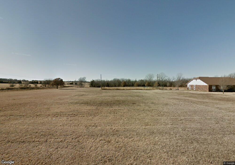
870941 S Ambush Rock Ln Stroud, OK 74079
Estimated Value: $130,000 - $207,000
3
Beds
2
Baths
1,255
Sq Ft
$138/Sq Ft
Est. Value
About This Home
This home is located at 870941 S Ambush Rock Ln, Stroud, OK 74079 and is currently estimated at $172,693, approximately $137 per square foot. 870941 S Ambush Rock Ln is a home with nearby schools including Parkview Elementary School, Stroud Middle School, and Stroud High School.
Ownership History
Date
Name
Owned For
Owner Type
Purchase Details
Closed on
Sep 30, 2004
Sold by
Patterson Cheryl L
Bought by
Firsthand Inc
Current Estimated Value
Purchase Details
Closed on
Mar 1, 2002
Sold by
Place Jess C and Place Dawn M
Bought by
Patterson Cheryl L
Purchase Details
Closed on
Apr 16, 1997
Sold by
Bancfirst
Bought by
Place Jess C and Place Dawn M
Purchase Details
Closed on
Mar 17, 1997
Sold by
Mathis Duane
Bought by
Bancfirst Stroud
Purchase Details
Closed on
Dec 18, 1996
Sold by
Dclc
Bought by
Bancfirst Stroud
Purchase Details
Closed on
Nov 6, 1996
Sold by
Bankruptcy Court N Dist
Bought by
Hunt Llewellyn and Hunt Donna L
Purchase Details
Closed on
Oct 16, 1996
Sold by
Bancfirst Dclc and Bancfirst Stroud
Bought by
Hunt Llewellyn and Hunt Donna L
Purchase Details
Closed on
Aug 4, 1989
Sold by
Citizens Nat Bank-Elreno
Bought by
Hunt Llewellyn and Hunt Donna L
Create a Home Valuation Report for This Property
The Home Valuation Report is an in-depth analysis detailing your home's value as well as a comparison with similar homes in the area
Home Values in the Area
Average Home Value in this Area
Purchase History
| Date | Buyer | Sale Price | Title Company |
|---|---|---|---|
| Firsthand Inc | $65,000 | -- | |
| -- | -- | -- | |
| Patterson Cheryl L | $55,000 | -- | |
| Place Jess C | $45,000 | -- | |
| Bancfirst Stroud | -- | -- | |
| Bancfirst Stroud | -- | -- | |
| Hunt Llewellyn | -- | -- | |
| Hunt Llewellyn | -- | -- | |
| Hunt Llewellyn | $35,000 | -- |
Source: Public Records
Tax History Compared to Growth
Tax History
| Year | Tax Paid | Tax Assessment Tax Assessment Total Assessment is a certain percentage of the fair market value that is determined by local assessors to be the total taxable value of land and additions on the property. | Land | Improvement |
|---|---|---|---|---|
| 2024 | $881 | $10,495 | $1,087 | $9,408 |
| 2023 | $881 | $10,495 | $1,087 | $9,408 |
| 2022 | $863 | $10,181 | $1,034 | $9,147 |
| 2021 | $826 | $9,696 | $988 | $8,708 |
| 2020 | $781 | $9,234 | $988 | $8,246 |
| 2019 | $757 | $8,795 | $988 | $7,807 |
| 2018 | $715 | $8,376 | $988 | $7,388 |
| 2017 | $731 | $8,317 | $988 | $7,329 |
| 2016 | $639 | $7,921 | $988 | $6,933 |
| 2015 | $650 | $7,833 | $988 | $6,845 |
| 2014 | $577 | $7,528 | $988 | $6,540 |
Source: Public Records
Map
Nearby Homes
- 870905 S Ambush Rock Ln
- 1317 E Elm St
- 358331 E 880 Rd
- 29221 S 561st West Ave
- 56155 W 291st St S
- 32725 S 481st West Ave
- 2010 S Graham Rd
- 1501 W Elm St
- 1008 E Elm St
- 1015 E Elm St
- 880587 S 3580 Rd
- 1003 E Elm St
- 870213 S 3590 Rd
- 28509 S 561st West Ave
- 28403 S 561st Ave W
- 28403 S 561st West Ave
- 28403 S 561st West Ave
- 56628 W 291st St S
- 2435 E 7th St
- 262 Rr 3