Estimated Value: $282,000 - $5,516,984
3
Beds
2
Baths
1,488
Sq Ft
$1,949/Sq Ft
Est. Value
About This Home
This home is located at 871 Son Wright Rd, Dixie, GA 31629 and is currently estimated at $2,899,492, approximately $1,948 per square foot. 871 Son Wright Rd is a home located in Brooks County with nearby schools including North Brooks Elementary School.
Ownership History
Date
Name
Owned For
Owner Type
Purchase Details
Closed on
Mar 10, 2025
Sold by
Weltzbarker Doyle
Bought by
Jeffco Land Llc
Current Estimated Value
Purchase Details
Closed on
Dec 28, 2009
Sold by
Brooksco Dairy Llc
Bought by
Weltzbarker Doyle and Moody Calvin
Purchase Details
Closed on
Aug 12, 2009
Sold by
Johnson Jan W
Bought by
Brooksco Dairy Llc
Purchase Details
Closed on
Jan 6, 2005
Sold by
Johnson Joe H
Bought by
Johnson Jan W
Purchase Details
Closed on
Dec 29, 2003
Sold by
Weltzbarker Doyle
Bought by
Johnson Joe H and Johnson Jan W
Purchase Details
Closed on
Aug 20, 1993
Sold by
Weltzbarker Doyle Etal
Bought by
Weltzbarker Doyle
Purchase Details
Closed on
Dec 29, 1986
Bought by
Weltzbarker Doyle Etal
Create a Home Valuation Report for This Property
The Home Valuation Report is an in-depth analysis detailing your home's value as well as a comparison with similar homes in the area
Purchase History
| Date | Buyer | Sale Price | Title Company |
|---|---|---|---|
| Jeffco Land Llc | -- | -- | |
| Weltzbarker Doyle | -- | -- | |
| Brooksco Dairy Llc | $600,343 | -- | |
| Johnson Jan W | -- | -- | |
| Johnson Joe H | -- | -- | |
| Weltzbarker Doyle | $2,000 | -- | |
| Weltzbarker Doyle Etal | -- | -- |
Source: Public Records
Tax History
| Year | Tax Paid | Tax Assessment Tax Assessment Total Assessment is a certain percentage of the fair market value that is determined by local assessors to be the total taxable value of land and additions on the property. | Land | Improvement |
|---|---|---|---|---|
| 2025 | $31,431 | $1,370,840 | $241,440 | $1,129,400 |
| 2024 | $19,706 | $1,258,440 | $243,440 | $1,015,000 |
| 2023 | $29,122 | $1,256,368 | $213,600 | $1,042,768 |
| 2022 | $32,552 | $1,272,580 | $203,400 | $1,069,180 |
| 2021 | $25,796 | $942,108 | $164,520 | $777,588 |
| 2020 | $27,015 | $972,756 | $164,520 | $808,236 |
| 2019 | $27,178 | $1,006,444 | $167,000 | $839,444 |
| 2018 | $31,137 | $1,066,132 | $193,880 | $872,252 |
| 2017 | $29,514 | $1,097,932 | $193,880 | $904,052 |
| 2016 | $30,302 | $1,130,040 | $190,120 | $939,920 |
| 2015 | -- | $1,163,560 | $190,120 | $973,440 |
| 2014 | -- | $1,229,240 | $190,120 | $1,039,120 |
| 2013 | -- | $0 | $0 | $0 |
Source: Public Records
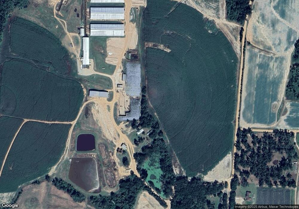
Map
Nearby Homes
- 431 Dry Lake Rd
- 9900 Ozell Rd
- 800 Clifford St
- 1038-BA Church St
- 7402 Coffee Rd
- 5199 U S 84
- 682 Salem Rd
- 536 N Leaphart St
- 3898 Beaty Rd
- 7921 Five Forks Rd
- 813 Vonier Rd
- Dixie Rd
- 3.97ACR Beaty Rd
- 581 Harris St
- 612-BN W Railroad Ave
- 611 Bn S Main St
- 4311 Ozell Rd
- 2156 County Road 78
- 1230 Parrish Rd
- 146 Old Highway 84 W
Your Personal Tour Guide
Ask me questions while you tour the home.