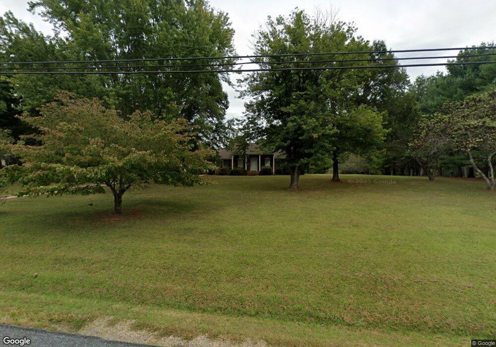
872 High Peak Rd Monroe, VA 24574
Estimated Value: $272,000 - $312,000
3
Beds
2
Baths
1,325
Sq Ft
$219/Sq Ft
Est. Value
About This Home
This home is located at 872 High Peak Rd, Monroe, VA 24574 and is currently estimated at $289,599, approximately $218 per square foot. 872 High Peak Rd is a home located in Amherst County with nearby schools including Elon Elementary School, Monelison Middle School, and Amherst County High School.
Ownership History
Date
Name
Owned For
Owner Type
Purchase Details
Closed on
Jul 16, 2021
Sold by
Rice Patsy W
Bought by
Rice Matthew
Current Estimated Value
Home Financials for this Owner
Home Financials are based on the most recent Mortgage that was taken out on this home.
Original Mortgage
$195,959
Outstanding Balance
$177,965
Interest Rate
2.96%
Mortgage Type
New Conventional
Estimated Equity
$111,634
Create a Home Valuation Report for This Property
The Home Valuation Report is an in-depth analysis detailing your home's value as well as a comparison with similar homes in the area
Home Values in the Area
Average Home Value in this Area
Purchase History
| Date | Buyer | Sale Price | Title Company |
|---|---|---|---|
| Rice Matthew | $194,000 | Attorney |
Source: Public Records
Mortgage History
| Date | Status | Borrower | Loan Amount |
|---|---|---|---|
| Open | Rice Matthew | $195,959 |
Source: Public Records
Tax History Compared to Growth
Tax History
| Year | Tax Paid | Tax Assessment Tax Assessment Total Assessment is a certain percentage of the fair market value that is determined by local assessors to be the total taxable value of land and additions on the property. | Land | Improvement |
|---|---|---|---|---|
| 2025 | $974 | $159,700 | $36,200 | $123,500 |
| 2024 | $974 | $159,700 | $36,200 | $123,500 |
| 2023 | $974 | $159,700 | $36,200 | $123,500 |
| 2022 | $974 | $159,700 | $36,200 | $123,500 |
| 2021 | $974 | $159,700 | $36,200 | $123,500 |
| 2020 | $974 | $159,700 | $36,200 | $123,500 |
| 2019 | $964 | $158,100 | $42,200 | $115,900 |
| 2018 | $964 | $158,100 | $42,200 | $115,900 |
| 2017 | $964 | $158,100 | $42,200 | $115,900 |
| 2016 | $964 | $158,100 | $42,200 | $115,900 |
| 2015 | $885 | $158,100 | $42,200 | $115,900 |
| 2014 | $885 | $158,100 | $42,200 | $115,900 |
Source: Public Records
Map
Nearby Homes
- 216 Burford Farm Rd
- 1159 Cedar Gate Rd
- 893 Cedar Gate Rd
- 839 Cedar Gate Rd
- 0 Crawford's Hill Place
- 1765 Winesap Rd
- 621 Cedar Gate Rd
- 203 Ned Brown Rd
- 295 Foxcroft Dr
- 138 Magnolia Ln
- 1481 Winesap Rd
- 171 Faulconerville Dr
- 157 Old Country Rd
- 144 Manse Rd
- 166 Matohe Rd
- 115 Mattiponi Dr
- 124-138 Cedar Gate Rd
- 106 Monacan Park Rd
- 253 Camden Dr
- 249 Camden Dr
- 858 High Peak Rd
- 892 High Peak Rd
- 877 High Peak Rd
- 842 High Peak Rd
- 895 High Peak Rd
- 914 High Peak Rd
- 928 High Peak Rd
- 114 Macon Ln
- 147 Macon Ln
- 1250 High Peak Rd
- 942 High Peak Rd
- 798 High Peak Rd
- 138 Macon Ln
- 114 Burford Farm Rd
- 170 Burford Farm Rd
- 961 High Peak Rd
- 152 Burford Farm Rd
- 156 Macon Ln
- 966 High Peak Rd
- 971 High Peak Rd