872 N 1663 Rd Lawrence, KS 66049
Estimated Value: $554,000 - $1,092,000
5
Beds
4
Baths
2,417
Sq Ft
$333/Sq Ft
Est. Value
About This Home
This home is located at 872 N 1663 Rd, Lawrence, KS 66049 and is currently estimated at $805,379, approximately $333 per square foot. 872 N 1663 Rd is a home with nearby schools including Langston Hughes Elementary School, Southwest Middle School, and Lawrence Free State High School.
Ownership History
Date
Name
Owned For
Owner Type
Purchase Details
Closed on
Dec 3, 2010
Sold by
D B L L C
Bought by
Vanhorn Keith David and Vanhorn Van Horn
Current Estimated Value
Home Financials for this Owner
Home Financials are based on the most recent Mortgage that was taken out on this home.
Original Mortgage
$107,920
Outstanding Balance
$71,373
Interest Rate
4.24%
Mortgage Type
Future Advance Clause Open End Mortgage
Estimated Equity
$734,006
Create a Home Valuation Report for This Property
The Home Valuation Report is an in-depth analysis detailing your home's value as well as a comparison with similar homes in the area
Purchase History
| Date | Buyer | Sale Price | Title Company |
|---|---|---|---|
| Vanhorn Keith David | -- | Commerce Title |
Source: Public Records
Mortgage History
| Date | Status | Borrower | Loan Amount |
|---|---|---|---|
| Open | Vanhorn Keith David | $107,920 |
Source: Public Records
Tax History
| Year | Tax Paid | Tax Assessment Tax Assessment Total Assessment is a certain percentage of the fair market value that is determined by local assessors to be the total taxable value of land and additions on the property. | Land | Improvement |
|---|---|---|---|---|
| 2025 | $11,982 | $105,329 | $22,425 | $82,904 |
| 2024 | $11,358 | $99,931 | $21,706 | $78,225 |
| 2023 | $11,018 | $94,001 | $20,269 | $73,732 |
| 2022 | $10,760 | $90,988 | $17,394 | $73,594 |
| 2021 | $8,969 | $73,738 | $17,106 | $56,632 |
| 2020 | $8,781 | $72,589 | $17,106 | $55,483 |
| 2019 | $8,459 | $70,023 | $16,531 | $53,492 |
| 2018 | $8,441 | $69,334 | $16,330 | $53,004 |
| 2017 | $8,261 | $66,896 | $13,064 | $53,832 |
| 2016 | $1,679 | $13,992 | $8,855 | $5,137 |
| 2015 | -- | $9,240 | $9,240 | $0 |
| 2014 | -- | $9,240 | $9,240 | $0 |
Source: Public Records
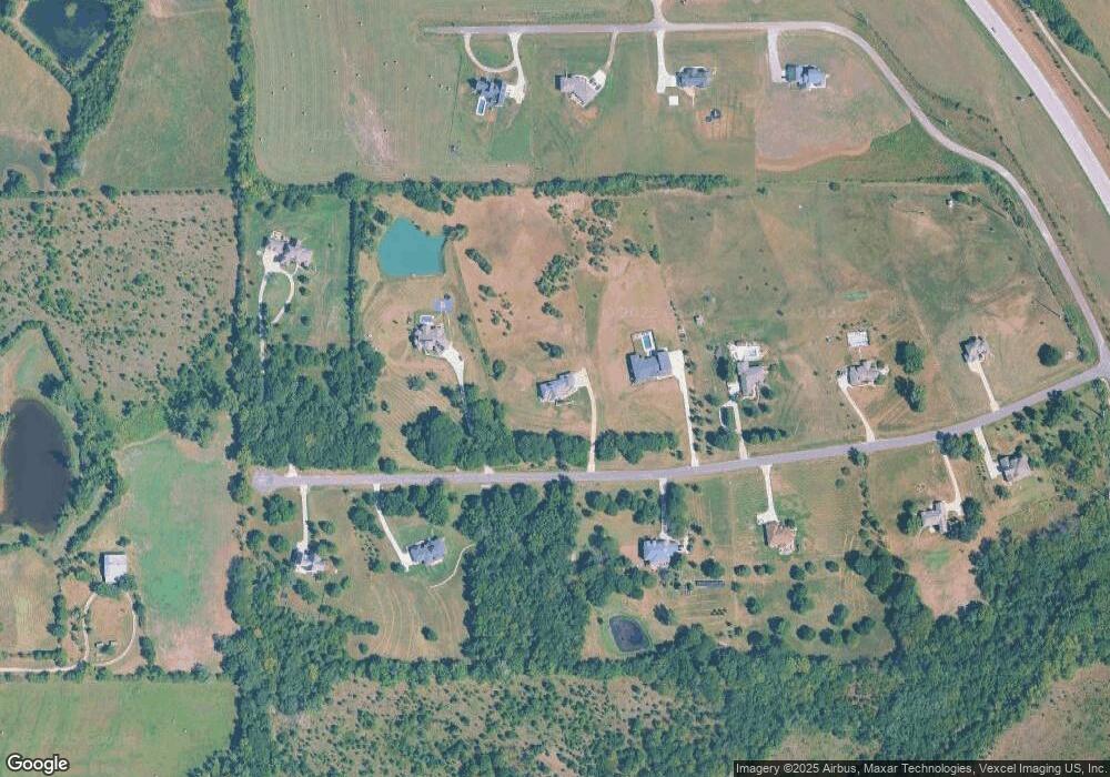
Map
Nearby Homes
- 835 N 1710 Rd
- 5616 Maggie Way
- Lot 2 N Running Ridge Rd
- 5901 Maggie Way
- 5802 Three Forks Ct
- 5602 Fort Laramie Ct
- 5800 Johnson Dr
- 5806 Johnson Dr
- 5802 Johnson Dr
- 916 Silver Rain Rd
- 5714 Silverstone Dr
- 5629 Johnson Dr
- 5617 Johnson Dr
- 1115 Klein Ct
- 205 Campbell Ct
- 5237 Carson Dr
- 1770 E 960 Rd
- 5245 Overland Dr Unit C9
- 5245 Overland Dr Unit C8
- 5245 Overland Dr Unit B24
- 874 N 1663 Rd
- 862 N 1663 Rd
- Lot 5 N 1663 Rd
- lot 2 N 1663 Rd
- lot 4 N 1663 Rd
- Lot 4 N 1663 Rd
- 878 N 1663 Rd
- 873 N 1663 Rd
- 307 Coving Ct
- 25 AC E 1150 Rd
- blk1 Lot 1 850 Rd
- Land Lot 3 Fall Creek Farms Unit Blk 1
- Land Wakarusa Township
- 1489-90 Marilee
- Lots Doolittle Dr
- Land Seele Way
- Land N 1700 Rd
- Tract 2 SE 89th St
- 259 N 1250 Rd
- Lot 1 Westpointe
Your Personal Tour Guide
Ask me questions while you tour the home.