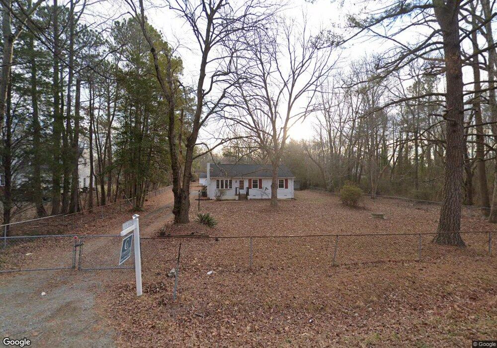
8721 Tunstall Rd New Kent, VA 23124
Estimated Value: $358,000 - $371,000
3
Beds
2
Baths
1,680
Sq Ft
$217/Sq Ft
Est. Value
About This Home
This home is located at 8721 Tunstall Rd, New Kent, VA 23124 and is currently estimated at $364,500, approximately $216 per square foot. 8721 Tunstall Rd is a home located in New Kent County with nearby schools including New Kent High School.
Ownership History
Date
Name
Owned For
Owner Type
Purchase Details
Closed on
Jan 23, 2025
Sold by
Robinson Samantha Danielle and Robinson Tabitha Nicole
Bought by
Robinson Samantha Danielle and Robinson Tabitha Nicole
Current Estimated Value
Create a Home Valuation Report for This Property
The Home Valuation Report is an in-depth analysis detailing your home's value as well as a comparison with similar homes in the area
Home Values in the Area
Average Home Value in this Area
Purchase History
| Date | Buyer | Sale Price | Title Company |
|---|---|---|---|
| Robinson Samantha Danielle | -- | None Listed On Document |
Source: Public Records
Tax History Compared to Growth
Tax History
| Year | Tax Paid | Tax Assessment Tax Assessment Total Assessment is a certain percentage of the fair market value that is determined by local assessors to be the total taxable value of land and additions on the property. | Land | Improvement |
|---|---|---|---|---|
| 2025 | $1,862 | $310,400 | $111,000 | $199,400 |
| 2024 | $1,831 | $310,400 | $111,000 | $199,400 |
| 2023 | $1,769 | $264,000 | $84,100 | $179,900 |
| 2022 | $177 | $264,000 | $84,100 | $179,900 |
| 2021 | $1,793 | $227,000 | $66,800 | $160,200 |
| 2020 | $179 | $227,000 | $66,800 | $160,200 |
| 2019 | $1,774 | $216,300 | $56,300 | $160,000 |
| 2018 | $1,774 | $216,300 | $56,300 | $160,000 |
| 2017 | $1,610 | $194,000 | $56,300 | $137,700 |
| 2016 | $1,610 | $194,000 | $56,300 | $137,700 |
| 2015 | $1,575 | $187,500 | $52,700 | $134,800 |
| 2014 | -- | $187,500 | $52,700 | $134,800 |
Source: Public Records
Map
Nearby Homes
- 5760 New Kent Hwy
- 00 Pontefract Dr
- 9013 Shewsbury Dr
- 5445 Gentry Dr
- 20 75C Virginia 249
- 5921 Bushnell Dr
- 8048 Dandridge Dr
- 5350 Dandridge Place
- 7912 Quinton Ct
- 5369 Dandridge Place
- Brookfield Plan at Beech Springs
- Berkeley Plan at Beech Springs
- Augusta II Plan at Beech Springs
- Jefferson Plan at Beech Springs
- Hartfield II Plan at Beech Springs
- Monterey Plan at Beech Springs
- Stuart Plan at Beech Springs
- Treyburn III Plan at Beech Springs
- Parkview Plan at Beech Springs
- Treyburn II Plan at Beech Springs
- 8735 Tunstall Rd
- 0 Patterson Rd
- 5711 Patterson Rd
- 5701 Wensleydale Dr
- 5711 Wensleydale Dr
- 8720 Tunstall Rd
- 5721 Patterson Rd
- 5731 Patterson Rd
- 8800 Tunstall Rd Unit A
- 5721 Wensleydale Dr
- 5741 Patterson Rd
- 5700 New Kent Hwy
- 0 Shewsbury Dr
- 5710 New Kent Hwy
- 5720 New Kent Hwy
- 5730 New Kent Hwy
- 8800 Shewsbury Dr
- 5700 Wensleydale Dr
- 5751 Patterson Rd
- 5740 New Kent Hwy