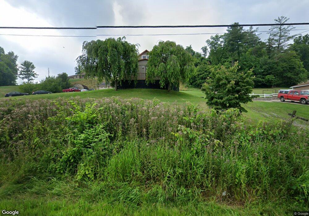
8725 State Route 821 Lower Salem, OH 45745
Estimated Value: $80,000 - $261,000
4
Beds
1
Bath
1,040
Sq Ft
$140/Sq Ft
Est. Value
About This Home
This home is located at 8725 State Route 821, Lower Salem, OH 45745 and is currently estimated at $146,006, approximately $140 per square foot. 8725 State Route 821 is a home located in Washington County with nearby schools including Fort Frye High School.
Ownership History
Date
Name
Owned For
Owner Type
Purchase Details
Closed on
Jan 27, 2022
Sold by
Gordon Adams Randall and Gordon Lecia A
Bought by
Nicholson Roseann and Nicholson Justin
Current Estimated Value
Home Financials for this Owner
Home Financials are based on the most recent Mortgage that was taken out on this home.
Original Mortgage
$108,000
Outstanding Balance
$101,790
Interest Rate
4.89%
Mortgage Type
New Conventional
Estimated Equity
$44,216
Purchase Details
Closed on
Nov 21, 2014
Sold by
Gerst Robert and Gerst Kimberly
Bought by
Adams Randall Gordon and Adams Lecia A
Home Financials for this Owner
Home Financials are based on the most recent Mortgage that was taken out on this home.
Original Mortgage
$112,000
Interest Rate
3.97%
Mortgage Type
New Conventional
Purchase Details
Closed on
Mar 27, 2010
Sold by
Gerst Robert and Gerst Kimberly
Bought by
Gerst Robert and Gerst Kimberly
Purchase Details
Closed on
Mar 31, 1993
Bought by
Gerst Robert
Create a Home Valuation Report for This Property
The Home Valuation Report is an in-depth analysis detailing your home's value as well as a comparison with similar homes in the area
Home Values in the Area
Average Home Value in this Area
Purchase History
| Date | Buyer | Sale Price | Title Company |
|---|---|---|---|
| Nicholson Roseann | $83,000 | Thomas P Webster Mccauley Webs | |
| Adams Randall Gordon | $140,000 | Attorney | |
| Gerst Robert | -- | Attorney | |
| Gerst Robert | $10,000 | -- |
Source: Public Records
Mortgage History
| Date | Status | Borrower | Loan Amount |
|---|---|---|---|
| Open | Nicholson Roseann | $108,000 | |
| Previous Owner | Adams Randall Gordon | $112,000 |
Source: Public Records
Tax History Compared to Growth
Tax History
| Year | Tax Paid | Tax Assessment Tax Assessment Total Assessment is a certain percentage of the fair market value that is determined by local assessors to be the total taxable value of land and additions on the property. | Land | Improvement |
|---|---|---|---|---|
| 2024 | $755 | $23,170 | $2,100 | $21,070 |
| 2023 | $755 | $23,170 | $2,100 | $21,070 |
| 2022 | $740 | $23,170 | $2,100 | $21,070 |
| 2021 | $786 | $23,710 | $3,840 | $19,870 |
| 2020 | $787 | $23,710 | $3,840 | $19,870 |
| 2019 | $786 | $23,710 | $3,840 | $19,870 |
| 2018 | $696 | $21,300 | $3,200 | $18,100 |
| 2017 | $699 | $21,300 | $3,200 | $18,100 |
| 2016 | $1,338 | $21,300 | $3,200 | $18,100 |
| 2015 | $669 | $19,540 | $3,280 | $16,260 |
| 2014 | $772 | $12,360 | $3,280 | $9,080 |
| 2013 | $421 | $12,360 | $3,280 | $9,080 |
Source: Public Records
Map
Nearby Homes
- 9865 State Route 821
- 50 & 60 Railroad St
- 65 Warner Second St
- 3275 Highland Ridge Rd
- 2800 Tick Ridge Rd
- 0 Highland Ridge Rd
- 0 Stanleyville Rd
- 200 Frakes Rd
- 0 Highland Ridge Rd
- 4595 Ohio 530
- 2115 Goss Fork Rd
- 1 Brooks Ln
- Lot 4 Moss Run Rd
- 101 Winters Dr
- 0 Dixon Ridge Rd Unit 5152245
- 2585 Glendale Rd
- 9125 Highland Ridge Re
- 9125 Highland Ridge Rd
- 123 Deerwalk Cir
- 0 Township Highway 272
- 8735 State Route 821
- 8650 State Route 821
- 240 Davis Rd
- 184 Davis Rd
- 8800 State Route 821
- 8615 State Route 821
- 8860 State Route 821
- 8590 State Route 821
- 345 Davis Rd
- 8389 State Route 821 Rd
- 0 Davis Rd
- 420 Davis Rd
- 410 Davis Rd
- 8470 State Route 821
- 8470 Ohio 821
- 0 Germantown Rd
- 0 Germantown Rd Unit M224642
- 470 Davis Rd
- 8385 State Route 821
- 430 Davis Rd