8726 Port Tobacco Rd La Plata, MD 20646
Estimated Value: $673,000 - $763,000
--
Bed
4
Baths
2,683
Sq Ft
$262/Sq Ft
Est. Value
About This Home
This home is located at 8726 Port Tobacco Rd, La Plata, MD 20646 and is currently estimated at $703,429, approximately $262 per square foot. 8726 Port Tobacco Rd is a home located in Charles County with nearby schools including Walter J. Mitchell Elementary School, Milton M. Somers Middle School, and Maurice J. McDonough High School.
Ownership History
Date
Name
Owned For
Owner Type
Purchase Details
Closed on
Jan 20, 2004
Sold by
Stottlemyer Daniel L
Bought by
Marino Robert and Marino Yvonne J
Current Estimated Value
Purchase Details
Closed on
Nov 7, 2003
Sold by
Johnson Lester and Brooks Johnson S
Bought by
Stottlemyer Daniel L
Purchase Details
Closed on
Jan 6, 2003
Sold by
Garner Harold B
Bought by
Johnson Lester and Brooks Johnson S
Purchase Details
Closed on
Jun 26, 2002
Sold by
Fones Ralston V and Fones Helen A
Bought by
Garner Harold B
Create a Home Valuation Report for This Property
The Home Valuation Report is an in-depth analysis detailing your home's value as well as a comparison with similar homes in the area
Home Values in the Area
Average Home Value in this Area
Purchase History
| Date | Buyer | Sale Price | Title Company |
|---|---|---|---|
| Marino Robert | $431,600 | -- | |
| Stottlemyer Daniel L | $98,000 | -- | |
| Johnson Lester | $87,000 | -- | |
| Garner Harold B | $100,000 | -- |
Source: Public Records
Mortgage History
| Date | Status | Borrower | Loan Amount |
|---|---|---|---|
| Closed | Johnson Lester | -- |
Source: Public Records
Tax History Compared to Growth
Tax History
| Year | Tax Paid | Tax Assessment Tax Assessment Total Assessment is a certain percentage of the fair market value that is determined by local assessors to be the total taxable value of land and additions on the property. | Land | Improvement |
|---|---|---|---|---|
| 2025 | -- | $640,967 | -- | -- |
| 2024 | $8,077 | $591,033 | $0 | $0 |
| 2023 | $7,732 | $541,100 | $147,700 | $393,400 |
| 2022 | $7,312 | $530,267 | $0 | $0 |
| 2021 | $6,989 | $519,433 | $0 | $0 |
| 2020 | $6,989 | $508,600 | $139,700 | $368,900 |
| 2019 | $6,786 | $494,100 | $0 | $0 |
| 2018 | $6,549 | $479,600 | $0 | $0 |
| 2017 | $6,348 | $465,100 | $0 | $0 |
| 2016 | -- | $452,300 | $0 | $0 |
| 2015 | $7,041 | $439,500 | $0 | $0 |
| 2014 | $7,041 | $426,700 | $0 | $0 |
Source: Public Records
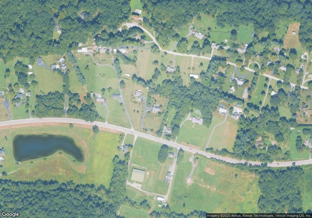
Map
Nearby Homes
- 8802 Port Tobacco Rd
- 9071 Darley Dr
- 212 Morgans Ridge Ct
- 208 Port Tobacco Rd
- 203 Port Tobacco Rd
- 8992 Hillary Ct
- 370 Buckeye Cir
- 389 Buckeye Cir
- 9590 May Day St
- 110 Quail Ct
- 9 Gramby Ct
- 6 Gramby Ct
- 22 Camden Cir
- 6370 Japonica Place
- 72 Camden Cir
- 48 Derby Dr
- 8 Steeplechase Dr
- 112 Oriole Ln
- 134 Charming Forest Ave
- 549 Fawn Meadow Ln
- 8730 Port Tobacco Rd
- 8722 Port Tobacco Rd
- 8875 Darley Dr
- 8748 Port Tobacco Rd
- 8710 Port Tobacco Rd
- 8745 Port Tobacco Rd
- 8715 Port Tobacco Rd
- 8915 Darley Dr
- 8700 Port Tobacco Rd
- 8755 Port Tobacco Rd
- 8757 Port Tobacco Rd
- 8855 Darley Dr
- 8935 Darley Dr
- 8845 Darley Dr
- 8975 Darley Dr
- 8716 Port Tobacco Rd
- 8955 Darley Dr
- 8900 Darley Dr
- 8900 Darley Dr
- 8900 Darley Dr