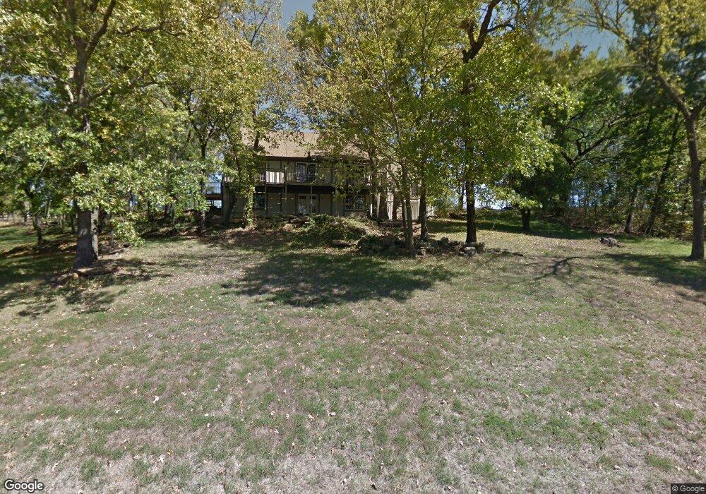
8729 Hirning Rd Lenexa, KS 66220
Estimated Value: $472,201 - $527,000
4
Beds
4
Baths
2,351
Sq Ft
$211/Sq Ft
Est. Value
About This Home
This home is located at 8729 Hirning Rd, Lenexa, KS 66220 and is currently estimated at $496,050, approximately $210 per square foot. 8729 Hirning Rd is a home located in Johnson County with nearby schools including Manchester Park Elementary School, Prairie Trail Middle School, and Olathe Northwest High School.
Ownership History
Date
Name
Owned For
Owner Type
Purchase Details
Closed on
Nov 29, 2005
Sold by
Deutsche Bank National Trust Company
Bought by
Kendall Calin T and Kendall Gloria J
Current Estimated Value
Home Financials for this Owner
Home Financials are based on the most recent Mortgage that was taken out on this home.
Original Mortgage
$151,200
Outstanding Balance
$81,260
Interest Rate
6.12%
Mortgage Type
New Conventional
Estimated Equity
$414,790
Purchase Details
Closed on
May 5, 2005
Sold by
White Cheryl L
Bought by
Deutsche Bank National Trust Co
Create a Home Valuation Report for This Property
The Home Valuation Report is an in-depth analysis detailing your home's value as well as a comparison with similar homes in the area
Home Values in the Area
Average Home Value in this Area
Purchase History
| Date | Buyer | Sale Price | Title Company |
|---|---|---|---|
| Kendall Calin T | -- | Valley Land Title Co | |
| Deutsche Bank National Trust Co | $238,452 | None Available |
Source: Public Records
Mortgage History
| Date | Status | Borrower | Loan Amount |
|---|---|---|---|
| Open | Kendall Calin T | $151,200 |
Source: Public Records
Tax History
| Year | Tax Paid | Tax Assessment Tax Assessment Total Assessment is a certain percentage of the fair market value that is determined by local assessors to be the total taxable value of land and additions on the property. | Land | Improvement |
|---|---|---|---|---|
| 2025 | $5,581 | $46,046 | $11,053 | $34,993 |
| 2024 | $5,581 | $45,529 | $9,206 | $36,323 |
| 2023 | $5,340 | $42,631 | $9,206 | $33,425 |
| 2022 | $4,937 | $38,422 | $9,206 | $29,216 |
| 2021 | $4,623 | $34,132 | $8,351 | $25,781 |
| 2020 | $4,489 | $32,809 | $8,351 | $24,458 |
| 2019 | $4,267 | $30,935 | $6,931 | $24,004 |
| 2018 | $4,128 | $29,589 | $6,931 | $22,658 |
| 2017 | $4,117 | $28,877 | $6,291 | $22,586 |
| 2016 | $3,820 | $27,382 | $5,726 | $21,656 |
| 2015 | $3,708 | $26,577 | $5,726 | $20,851 |
| 2013 | -- | $21,264 | $5,726 | $15,538 |
Source: Public Records
Map
Nearby Homes
- 19430 W 87th Ln
- 9317 Cottonwood Canyon Dr
- 9014 Chestnut St
- 8709 Pine St
- 20413 Crickett Ln
- 8926 Quail Ridge Ln
- 20308 W 92nd St
- 20606 W 88th Terrace
- 9002 Pine St
- 8920 Pine St
- 20219 W 93rd St
- 0 W 95th St
- 8554 Barstow
- 8823 Sunset Dr
- 8005 Belford St
- 9205 Redbud Ln
- 9603 Red Oak Dr
- 9517 Falcon Ridge Dr
- 19430 W 98th St
- 20810 W 94th St
- 8743 Hirning Rd
- 19130 W 87th Ln
- 19210 W 87th Ln
- 8742 Hirning Rd
- 19220 W 87th Ln
- 8801 Hirning Rd
- 19250 W 87th Ln
- 19105 W 87th St
- 8808 Hirning Rd
- 8815 Hirning Ln
- 8825 Hirning Ln
- 8812 Hirning Rd
- 8835 Hirning Ln
- 8820 Hirning Rd
- 22046 W 94th Terrace
- 22010 W 94th Terrace
- 22083 W 94th Terrace
- 9441 Aurora St
- 9425 Aurora St
- 10038 Aurora St
Your Personal Tour Guide
Ask me questions while you tour the home.