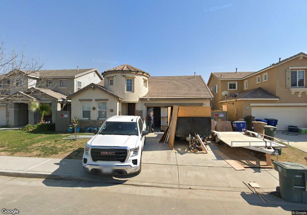
8732 High Ridge Dr Bakersfield, CA 93313
Panama NeighborhoodEstimated Value: $405,000 - $440,000
3
Beds
2
Baths
2,046
Sq Ft
$206/Sq Ft
Est. Value
About This Home
This home is located at 8732 High Ridge Dr, Bakersfield, CA 93313 and is currently estimated at $420,778, approximately $205 per square foot. 8732 High Ridge Dr is a home located in Kern County with nearby schools including Bill L. Williams Elementary School, Stonecreek Junior High School, and Ridgeview High School.
Ownership History
Date
Name
Owned For
Owner Type
Purchase Details
Closed on
Jan 23, 2018
Sold by
Peak Foreclousre Serveis Inc
Bought by
Okhovat Trust
Current Estimated Value
Purchase Details
Closed on
Jan 29, 2007
Sold by
Roberts Felix C
Bought by
Roberts Latonya
Home Financials for this Owner
Home Financials are based on the most recent Mortgage that was taken out on this home.
Original Mortgage
$58,599
Interest Rate
6.19%
Mortgage Type
Stand Alone Second
Purchase Details
Closed on
Dec 11, 2006
Sold by
Bakersfield Chardonnay Lp
Bought by
Roberts Latonya
Home Financials for this Owner
Home Financials are based on the most recent Mortgage that was taken out on this home.
Original Mortgage
$58,599
Interest Rate
6.19%
Mortgage Type
Stand Alone Second
Create a Home Valuation Report for This Property
The Home Valuation Report is an in-depth analysis detailing your home's value as well as a comparison with similar homes in the area
Home Values in the Area
Average Home Value in this Area
Purchase History
| Date | Buyer | Sale Price | Title Company |
|---|---|---|---|
| Okhovat Trust | $228,000 | None Available | |
| Roberts Latonya | -- | First American Title Company | |
| Roberts Latonya | $293,000 | First American Title Company |
Source: Public Records
Mortgage History
| Date | Status | Borrower | Loan Amount |
|---|---|---|---|
| Previous Owner | Roberts Latonya | $58,599 | |
| Previous Owner | Roberts Latonya | $234,396 |
Source: Public Records
Tax History Compared to Growth
Tax History
| Year | Tax Paid | Tax Assessment Tax Assessment Total Assessment is a certain percentage of the fair market value that is determined by local assessors to be the total taxable value of land and additions on the property. | Land | Improvement |
|---|---|---|---|---|
| 2025 | $4,200 | $295,830 | $68,267 | $227,563 |
| 2024 | $4,133 | $290,030 | $66,929 | $223,101 |
| 2023 | $4,133 | $284,344 | $65,617 | $218,727 |
| 2022 | $3,970 | $278,770 | $64,331 | $214,439 |
| 2021 | $3,855 | $273,305 | $63,070 | $210,235 |
| 2020 | $5,282 | $270,504 | $62,424 | $208,080 |
| 2019 | $5,256 | $270,504 | $62,424 | $208,080 |
| 2018 | $4,834 | $246,000 | $62,000 | $184,000 |
| 2017 | $4,810 | $246,000 | $62,000 | $184,000 |
| 2016 | $4,738 | $252,000 | $63,000 | $189,000 |
| 2015 | $3,237 | $244,000 | $61,000 | $183,000 |
| 2014 | $3,167 | $240,000 | $60,000 | $180,000 |
Source: Public Records
Map
Nearby Homes
- 5407 Red Wheat Ave
- 5400 Saddleback Ridge Ct
- 5809 Turquoise Ridge Dr
- 5518 Coburn Ridge Ct
- 6009 Moonstone Peak Dr
- 9408 Kanosh Cobble Dr
- 9623 Kanosh Cobble Dr
- 5103 Green Clover Ave
- 9000 Farmington Way
- 9402 Cobble Mountain Rd
- 6012 Turquoise Ridge Dr
- 5005 Green Clover Ave Unit 1
- 8208 Crestridge Ct
- 5404 Viewcrest Dr
- 9506 Orchard Grass Ct
- 6040 Samuelson St
- 6201 Cape Cod Ave
- 6225 Thorton Ave
- 6310 Thorton Ave
- 5808 Esmerelda Ave
- 8728 High Ridge Dr
- 8736 High Ridge Dr
- 8724 High Ridge Dr
- 8802 High Ridge Dr
- 5402 Ridge Lake Ct
- 8806 High Ridge Dr
- 8720 High Ridge Dr
- 5406 Ridge Lake Ct
- 5401 Ridgecrest Ct
- 8716 High Ridge Dr
- 5409 Ridgecrest Ct
- 5410 Ridge Lake Ct
- 5501 Ridge Lake Ct
- 5502 Mckee Rd
- 5500 Ridge Lake Ct
- 5506 Mckee Rd
- 5505 Ridge Lake Ct
- 8901 Great Harvest Dr
- 5504 Ridge Lake Ct