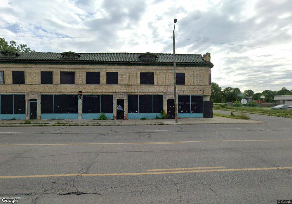
8732 Linwood St Detroit, MI 48206
Virginia Park Community NeighborhoodEstimated Value: $51,420
--
Bed
--
Bath
8,034
Sq Ft
$6/Sq Ft
Est. Value
About This Home
This home is located at 8732 Linwood St, Detroit, MI 48206 and is currently estimated at $51,420, approximately $6 per square foot. 8732 Linwood St is a home located in Wayne County with nearby schools including Thirkell Elementary School, Charles L. Spain Elementary-Middle School, and Edward 'Duke' Ellington Conservatory of Music and Art.
Ownership History
Date
Name
Owned For
Owner Type
Purchase Details
Closed on
Jun 21, 2021
Sold by
Halmaghi Steven and Halmaghi Kayla
Bought by
8732 Linwood Llc
Current Estimated Value
Purchase Details
Closed on
Nov 30, 2016
Sold by
Sabree Eric R
Bought by
Knr Llc
Purchase Details
Closed on
Feb 4, 2013
Sold by
S I Housing Development Llc
Bought by
Kkmj Llc
Purchase Details
Closed on
Aug 17, 2012
Sold by
Wayne County Treasurer
Bought by
Si Housing Development Llc
Purchase Details
Closed on
Oct 13, 2002
Sold by
Harris Thomas D
Bought by
Harris Daniel S
Create a Home Valuation Report for This Property
The Home Valuation Report is an in-depth analysis detailing your home's value as well as a comparison with similar homes in the area
Home Values in the Area
Average Home Value in this Area
Purchase History
| Date | Buyer | Sale Price | Title Company |
|---|---|---|---|
| 8732 Linwood Llc | -- | None Available | |
| Knr Llc | $500 | None Available | |
| Kkmj Llc | $4,900 | None Available | |
| Si Housing Development Llc | $560 | None Available | |
| Harris Daniel S | -- | -- |
Source: Public Records
Tax History Compared to Growth
Tax History
| Year | Tax Paid | Tax Assessment Tax Assessment Total Assessment is a certain percentage of the fair market value that is determined by local assessors to be the total taxable value of land and additions on the property. | Land | Improvement |
|---|---|---|---|---|
| 2025 | $590 | $8,500 | $0 | $0 |
| 2024 | $590 | $8,200 | $0 | $0 |
| 2023 | $577 | $7,100 | $0 | $0 |
| 2022 | $2,402 | $5,900 | $0 | $0 |
| 2021 | $2,217 | $5,900 | $0 | $0 |
| 2020 | $2,210 | $4,400 | $0 | $0 |
| 2019 | $489 | $4,400 | $0 | $0 |
| 2018 | $2,757 | $36,200 | $0 | $0 |
| 2017 | $5,811 | $33,800 | $0 | $0 |
| 2016 | $5,153 | $308,000 | $0 | $0 |
| 2015 | $2,962 | $33,300 | $0 | $0 |
| 2013 | $2,870 | $33,339 | $0 | $0 |
| 2010 | -- | $35,905 | $7,593 | $28,312 |
Source: Public Records
Map
Nearby Homes
- 2509 Gladstone St
- 2447 Gladstone St
- 2713 Carter St
- 2517 Taylor St
- 2688 W Philadelphia St
- 8931 La Salle Blvd
- 8604 La Salle Blvd
- 2472 W Euclid St
- 2247 W Philadelphia St
- 2225 W Philadelphia St
- 2440 Taylor St
- 2513 W Euclid St
- 2955 Blaine St
- 2310 Hazelwood St
- 2270 W Philadelphia St
- 2025 W Euclid St
- 2303 Taylor St
- 2987 Gladstone St
- 9021 Lawton St
- 2935 W Philadelphia St
- 2540 Blaine St
- 2532 Blaine St
- 8719 Linwood St
- 2524 Blaine St
- 2631 Carter St
- 2531 Gladstone St
- 2525 Gladstone St
- 2628 Carter St
- 2512 Blaine St
- 8641 Linwood St
- 2634 Carter St
- 0 Gladstone Unit 1609-11 4043880
- 2504 Blaine St
- 2640 Carter St
- 2640 Blaine St
- 2501 Gladstone St
- 2646 Carter St
- 2496 Blaine St
- 2651 Carter St
- 2646 Blaine St