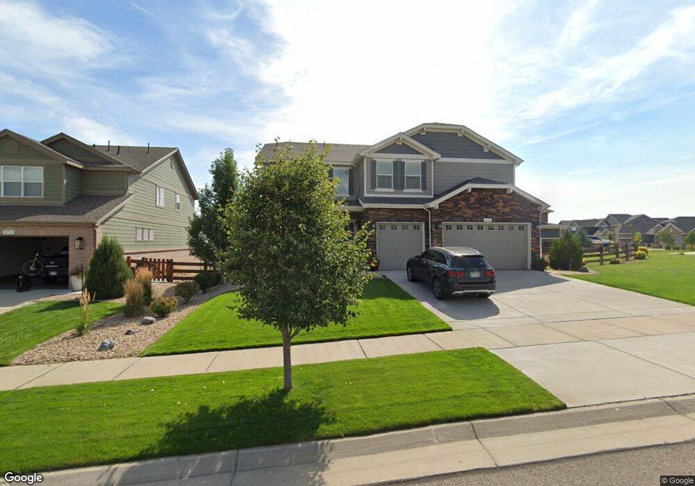
8736 Bross St Arvada, CO 80007
Leyden Rock NeighborhoodEstimated Value: $1,126,000 - $1,241,000
6
Beds
5
Baths
4,056
Sq Ft
$287/Sq Ft
Est. Value
About This Home
This home is located at 8736 Bross St, Arvada, CO 80007 and is currently estimated at $1,164,302, approximately $287 per square foot. 8736 Bross St is a home with nearby schools including Three Creeks K-8 School and Ralston Valley Senior High School.
Ownership History
Date
Name
Owned For
Owner Type
Purchase Details
Closed on
Jul 12, 2023
Sold by
Ruff Bruce W and Ruff Cynthia L
Bought by
Ruff Revocable Trust
Current Estimated Value
Purchase Details
Closed on
Feb 14, 2019
Sold by
Melody Homes Inc
Bought by
Ruff Bruce W and Ruff Cynthia L
Home Financials for this Owner
Home Financials are based on the most recent Mortgage that was taken out on this home.
Original Mortgage
$643,527
Interest Rate
4.5%
Mortgage Type
New Conventional
Create a Home Valuation Report for This Property
The Home Valuation Report is an in-depth analysis detailing your home's value as well as a comparison with similar homes in the area
Home Values in the Area
Average Home Value in this Area
Purchase History
| Date | Buyer | Sale Price | Title Company |
|---|---|---|---|
| Ruff Revocable Trust | -- | None Listed On Document | |
| Ruff Bruce W | $893,527 | Heritage Title Company |
Source: Public Records
Mortgage History
| Date | Status | Borrower | Loan Amount |
|---|---|---|---|
| Previous Owner | Ruff Bruce W | $643,527 |
Source: Public Records
Tax History
| Year | Tax Paid | Tax Assessment Tax Assessment Total Assessment is a certain percentage of the fair market value that is determined by local assessors to be the total taxable value of land and additions on the property. | Land | Improvement |
|---|---|---|---|---|
| 2024 | $10,986 | $72,999 | $17,330 | $55,669 |
| 2023 | $10,986 | $72,999 | $17,330 | $55,669 |
| 2022 | $7,666 | $47,935 | $9,628 | $38,307 |
| 2021 | $7,829 | $49,314 | $9,905 | $39,409 |
| 2020 | $7,082 | $45,118 | $10,544 | $34,574 |
| 2019 | $7,023 | $45,118 | $10,544 | $34,574 |
| 2018 | $4,175 | $26,434 | $26,434 | $0 |
| 2017 | $3,956 | $26,434 | $26,434 | $0 |
| 2016 | $490 | $3,434 | $3,434 | $0 |
| 2015 | -- | $3,434 | $3,434 | $0 |
Source: Public Records
Map
Nearby Homes
- 18679 W 87th Dr
- 8610 Zircon Way
- 8731 Culebra Ct
- 8515 Blanca Ct
- 18220 W 85th Dr
- 18871 W 84th Ave
- 8704 Yucca St
- 18941 W 84th Ave
- 18320 W 84th Place
- 19156 W 84th Place
- 19412 W 88th Ave
- 8742 Flattop St
- 8369 Zircon St
- 8793 Flattop St
- 8803 Flattop St
- 17817 W 87th Ave
- 17925 W 84th Ln
- 18639 W 92nd Dr
- 18740 W 93rd Dr
- 18840 W 93rd Dr
- 18681 W 87th Ave
- 8776 Bross St
- 8727 Bross St
- 8806 Bross St
- 18661 W 87th Ave
- 8707 Bross St
- 8767 Bross St
- 18692 W 87th Ave
- 18672 W 87th Ave
- 8807 Bross St
- 8836 Bross St
- 18641 W 87th Ave
- 18722 W 87th Ave
- 18652 W 87th Ave
- 8732 Crestone St
- 8752 Crestone St
- 18742 W 87th Ave
- 8837 Bross St
- 8772 Crestone St
- 8866 Bross St
Your Personal Tour Guide
Ask me questions while you tour the home.