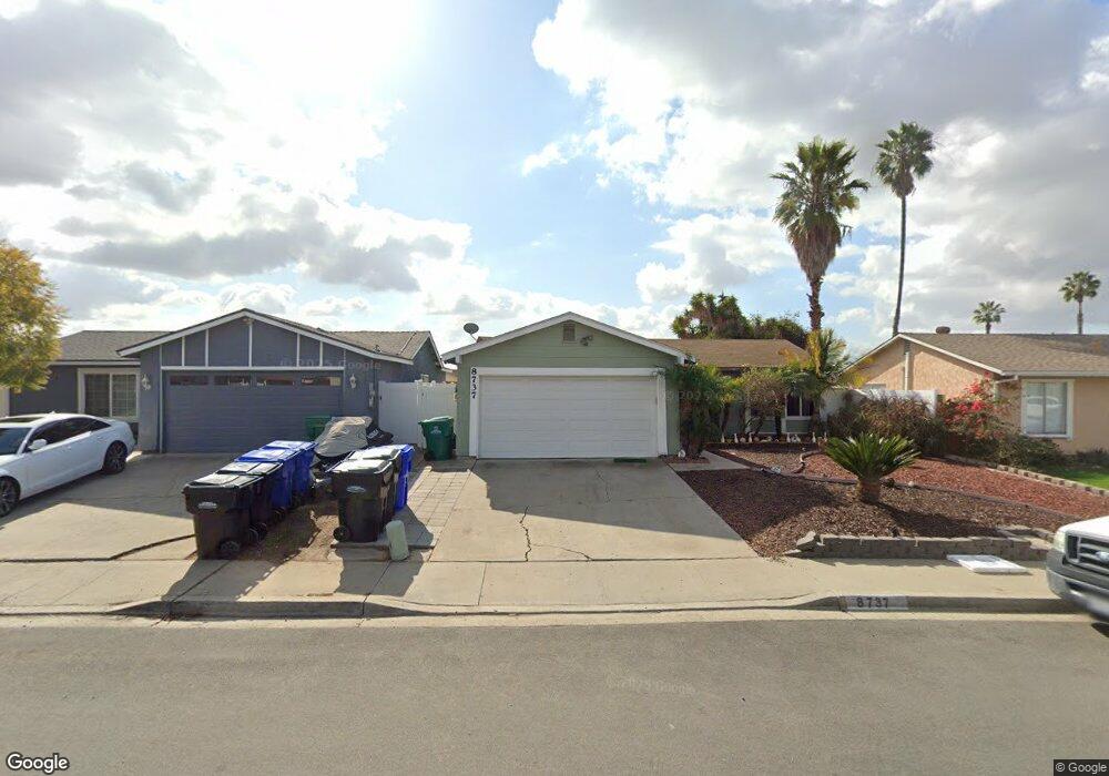
8737 Friant St San Diego, CA 92126
Mira Mesa NeighborhoodEstimated Value: $840,000 - $1,018,000
2
Beds
2
Baths
1,008
Sq Ft
$921/Sq Ft
Est. Value
About This Home
This home is located at 8737 Friant St, San Diego, CA 92126 and is currently estimated at $928,039, approximately $920 per square foot. 8737 Friant St is a home located in San Diego County with nearby schools including Mason Elementary School, Wangenheim Middle School, and Mira Mesa High School.
Ownership History
Date
Name
Owned For
Owner Type
Purchase Details
Closed on
Apr 30, 2002
Sold by
Kuakini Robert M and Kuakini Celia
Bought by
Osga Glenn and Welsh Osga Barbara
Current Estimated Value
Home Financials for this Owner
Home Financials are based on the most recent Mortgage that was taken out on this home.
Original Mortgage
$201,000
Outstanding Balance
$84,277
Interest Rate
6.83%
Estimated Equity
$843,762
Purchase Details
Closed on
Sep 26, 1990
Purchase Details
Closed on
Sep 6, 1985
Create a Home Valuation Report for This Property
The Home Valuation Report is an in-depth analysis detailing your home's value as well as a comparison with similar homes in the area
Home Values in the Area
Average Home Value in this Area
Purchase History
| Date | Buyer | Sale Price | Title Company |
|---|---|---|---|
| Osga Glenn | $268,000 | New Century Title Company | |
| -- | $149,500 | -- | |
| -- | $92,500 | -- |
Source: Public Records
Mortgage History
| Date | Status | Borrower | Loan Amount |
|---|---|---|---|
| Open | Osga Glenn | $201,000 |
Source: Public Records
Tax History Compared to Growth
Tax History
| Year | Tax Paid | Tax Assessment Tax Assessment Total Assessment is a certain percentage of the fair market value that is determined by local assessors to be the total taxable value of land and additions on the property. | Land | Improvement |
|---|---|---|---|---|
| 2025 | $4,819 | $395,903 | $295,452 | $100,451 |
| 2024 | $4,819 | $388,141 | $289,659 | $98,482 |
| 2023 | $4,712 | $380,531 | $283,980 | $96,551 |
| 2022 | $4,586 | $373,070 | $278,412 | $94,658 |
| 2021 | $4,554 | $365,755 | $272,953 | $92,802 |
| 2020 | $4,499 | $362,006 | $270,155 | $91,851 |
| 2019 | $4,419 | $354,908 | $264,858 | $90,050 |
| 2018 | $4,133 | $347,950 | $259,665 | $88,285 |
| 2017 | $80 | $341,128 | $254,574 | $86,554 |
| 2016 | $3,967 | $334,440 | $249,583 | $84,857 |
| 2015 | $3,909 | $329,418 | $245,835 | $83,583 |
| 2014 | $3,848 | $322,966 | $241,020 | $81,946 |
Source: Public Records
Map
Nearby Homes
- 8516 Flanders Dr
- 10573 Caminito Flores
- 10265 Eagle Rock Ave
- 10422 Londonderry Ave
- 8670 New Salem St Unit 106
- 8650 New Salem St Unit 27
- 8644 New Salem St Unit 6
- 8654 New Salem St Unit 44
- 10582 Caminito Glenellen
- 14331 Montano Way
- 14341 Montano Way
- 14659 Dunleer Way
- 14633 Dunleer Way
- 14665 Dunleer Way
- 14641 Dunleer Way
- 14312 Montano Way
- 8727 Westmore Rd Unit 24
- 10174 Camino Ruiz Unit 46
- 8669 Summerdale Rd
- 10166 Camino Ruiz Unit 32
- 8727 Friant St
- 8747 Friant St
- 8734 Belfast Cir
- 8717 Friant St
- 8746 Belfast Cir
- 8722 Belfast Cir
- 8710 Belfast Cir
- 8707 Friant St
- 8740 Friant St
- 8732 Friant St
- 8748 Friant St
- 8757 Friant St
- 8724 Friant St
- 8694 Belfast Cir
- 8756 Belfast Cir
- 8693 Friant St
- 8716 Friant St
- 8767 Friant St
- 8758 Friant St
- 8690 Belfast Cir