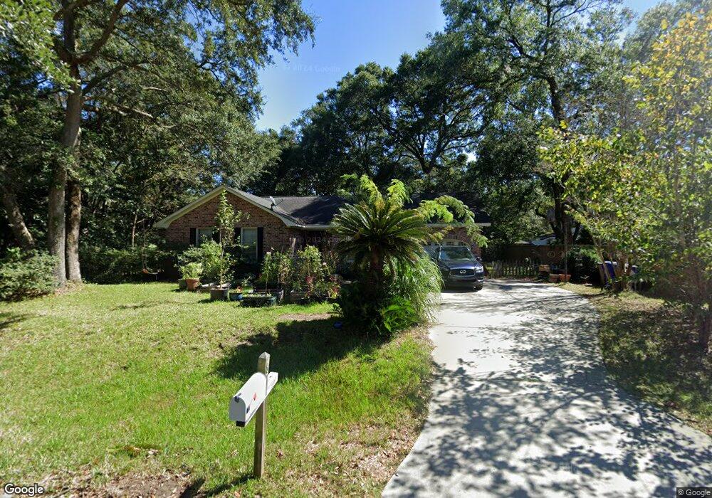
874 Amanda Dr Unit 1 Charleston, SC 29412
James Island NeighborhoodEstimated Value: $533,143 - $654,000
3
Beds
2
Baths
1,500
Sq Ft
$394/Sq Ft
Est. Value
About This Home
This home is located at 874 Amanda Dr Unit 1, Charleston, SC 29412 and is currently estimated at $590,536, approximately $393 per square foot. 874 Amanda Dr Unit 1 is a home located in Charleston County with nearby schools including Stiles Point Elementary School, Camp Road Middle, and James Island Charter High School.
Ownership History
Date
Name
Owned For
Owner Type
Purchase Details
Closed on
Jan 6, 2016
Sold by
Johnson Beau B and Johnson Kristine E
Bought by
Jqhnson Beau B and Johnson Kristen E
Current Estimated Value
Home Financials for this Owner
Home Financials are based on the most recent Mortgage that was taken out on this home.
Original Mortgage
$117,000
Outstanding Balance
$93,113
Interest Rate
3.98%
Mortgage Type
New Conventional
Estimated Equity
$497,423
Purchase Details
Closed on
Jan 29, 2001
Sold by
Hunt David M and Hunt Lauren D
Bought by
Johnson Beau B and Carlisle Hickey Kristen E
Create a Home Valuation Report for This Property
The Home Valuation Report is an in-depth analysis detailing your home's value as well as a comparison with similar homes in the area
Home Values in the Area
Average Home Value in this Area
Purchase History
| Date | Buyer | Sale Price | Title Company |
|---|---|---|---|
| Jqhnson Beau B | -- | -- | |
| Johnson Beau B | $155,500 | -- |
Source: Public Records
Mortgage History
| Date | Status | Borrower | Loan Amount |
|---|---|---|---|
| Open | Jqhnson Beau B | $117,000 |
Source: Public Records
Tax History Compared to Growth
Tax History
| Year | Tax Paid | Tax Assessment Tax Assessment Total Assessment is a certain percentage of the fair market value that is determined by local assessors to be the total taxable value of land and additions on the property. | Land | Improvement |
|---|---|---|---|---|
| 2024 | $4,221 | $15,210 | $0 | $0 |
| 2023 | $4,221 | $15,210 | $0 | $0 |
| 2022 | $3,855 | $15,210 | $0 | $0 |
| 2021 | $3,838 | $15,210 | $0 | $0 |
| 2020 | $3,757 | $15,210 | $0 | $0 |
| 2019 | $3,481 | $13,220 | $0 | $0 |
| 2017 | $3,409 | $13,220 | $0 | $0 |
| 2016 | $3,296 | $13,220 | $0 | $0 |
| 2015 | $1,197 | $8,820 | $0 | $0 |
| 2014 | $1,155 | $0 | $0 | $0 |
| 2011 | -- | $0 | $0 | $0 |
Source: Public Records
Map
Nearby Homes
- 939 Mikell Dr
- 683 Edmonds Dr
- 562 Fort Johnson Rd
- 764 Creekside Dr
- 404 Tanner Trail
- 544 Fort Johnson Rd
- 996 Foxcroft Rd
- 762 Swanson Ave
- 706 Sterling Dr
- 634 Lynne Ave
- 3009 Allison Cove Dr
- 881 Evans Rd
- 832 Robert e Lee Blvd
- 637 Lynne Ave
- 965 Mooring Dr
- 874 Evans Rd
- 0 Fort Johnson Rd Unit 25005735
- 954 Harbortowne Rd
- 460 Trapier Dr
- 1147 Lighthouse Blvd