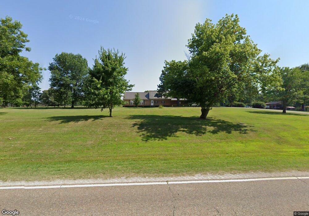
8748 State Route 152 Humboldt, TN 38343
Estimated Value: $309,000 - $499,000
--
Bed
--
Bath
3,385
Sq Ft
$121/Sq Ft
Est. Value
About This Home
This home is located at 8748 State Route 152, Humboldt, TN 38343 and is currently estimated at $410,557, approximately $121 per square foot. 8748 State Route 152 is a home located in Crockett County with nearby schools including Alamo Elementary School.
Ownership History
Date
Name
Owned For
Owner Type
Purchase Details
Closed on
Feb 14, 2020
Sold by
Taylor Timothy
Bought by
Taylor Kellie
Current Estimated Value
Purchase Details
Closed on
Jul 29, 2009
Sold by
Taylor William Dean
Bought by
Taylor Timothy
Purchase Details
Closed on
Feb 10, 2003
Sold by
Taylor Tanya
Bought by
Taylor Margaret
Purchase Details
Closed on
Feb 6, 2003
Bought by
Taylor William Dean and Taylor Margaret Taylor
Purchase Details
Closed on
Dec 1, 1978
Bought by
Taylor William Dean and Taylor Margaret
Purchase Details
Closed on
Jan 1, 1978
Purchase Details
Closed on
Feb 2, 1977
Purchase Details
Closed on
Jan 1, 1977
Create a Home Valuation Report for This Property
The Home Valuation Report is an in-depth analysis detailing your home's value as well as a comparison with similar homes in the area
Home Values in the Area
Average Home Value in this Area
Purchase History
| Date | Buyer | Sale Price | Title Company |
|---|---|---|---|
| Taylor Kellie | -- | -- | |
| Taylor Timothy | $10,000 | -- | |
| Taylor Margaret | $16,214 | -- | |
| Taylor William Dean | $16,200 | -- | |
| Taylor William Dean | -- | -- | |
| -- | $6,000 | -- | |
| -- | -- | -- | |
| -- | $5,500 | -- |
Source: Public Records
Tax History Compared to Growth
Tax History
| Year | Tax Paid | Tax Assessment Tax Assessment Total Assessment is a certain percentage of the fair market value that is determined by local assessors to be the total taxable value of land and additions on the property. | Land | Improvement |
|---|---|---|---|---|
| 2024 | $1,785 | $78,625 | $9,400 | $69,225 |
| 2023 | $1,747 | $78,625 | $9,400 | $69,225 |
| 2022 | $1,747 | $76,950 | $9,400 | $67,550 |
| 2021 | $1,566 | $59,325 | $6,650 | $52,675 |
| 2020 | $1,535 | $59,325 | $6,650 | $52,675 |
| 2019 | $1,566 | $59,325 | $6,650 | $52,675 |
| 2018 | $1,566 | $59,325 | $6,650 | $52,675 |
| 2017 | $1,536 | $59,325 | $6,650 | $52,675 |
| 2016 | $1,536 | $58,200 | $6,650 | $51,550 |
| 2015 | $1,489 | $58,200 | $6,650 | $51,550 |
| 2014 | $1,489 | $56,400 | $0 | $0 |
Source: Public Records
Map
Nearby Homes
- 159 Lipford Ln
- 0 Aubrey Fergerson Rd
- 397 Aubrey Fergerson Rd
- 00 Daisy Donaldson Rd
- 00 Lot#4 Humboldt Lake Rd
- 00 Lot#1 Humboldt Lake Rd
- 127 Franklin St
- 00 Highway 45 W
- 0 Plomar Williams Rd
- 00 Plomar Williams Rd
- 21679 U S 79
- 651 Alamo Hwy
- 285 Pete Tinsley Rd
- 0 Pete Tinsley Rd
- 87 Aaron Dr
- 492 Lee Cir
- 735 E Main St
- 0 Humboldt Bypass Hwy
- 588 E Church St
- 0 MacLin St Unit 224868
- 8736 State Route 152
- 8777 Tennessee 152
- 8736 Highway 152 Rd
- 8709 State Route 152
- 110 Doc Cox Rd
- 8866 State Route 152
- 8871 State Route 152
- 8892 Tennessee 152
- 8891 Tennessee 152
- 8832 State Route 152
- 8982 Tennessee 152
- 8948 Highway 152
- 8982 State Route 152
- 8948 Tennessee 152
- 2192 Kinner Rd
- 8709 Tennessee 152
- 9016 Highway 152w
- 8430 State Route 152
- 1970 Kenner Rd