875 32nd St SE Buffalo, MN 55313
Estimated Value: $710,000 - $797,931
4
Beds
4
Baths
3,400
Sq Ft
$217/Sq Ft
Est. Value
About This Home
This home is located at 875 32nd St SE, Buffalo, MN 55313 and is currently estimated at $737,233, approximately $216 per square foot. 875 32nd St SE is a home located in Wright County with nearby schools including Montrose Elementary School, Buffalo Community Middle School, and Buffalo Senior High School.
Ownership History
Date
Name
Owned For
Owner Type
Purchase Details
Closed on
Dec 30, 2020
Sold by
Zaske Barbara J
Bought by
Dupont John A and Dupont Heidi L
Current Estimated Value
Home Financials for this Owner
Home Financials are based on the most recent Mortgage that was taken out on this home.
Original Mortgage
$391,300
Outstanding Balance
$348,558
Interest Rate
2.6%
Mortgage Type
New Conventional
Estimated Equity
$388,675
Create a Home Valuation Report for This Property
The Home Valuation Report is an in-depth analysis detailing your home's value as well as a comparison with similar homes in the area
Home Values in the Area
Average Home Value in this Area
Purchase History
| Date | Buyer | Sale Price | Title Company |
|---|---|---|---|
| Dupont John A | $602,000 | Title Smart Inc | |
| Dupont John John | $602,000 | -- |
Source: Public Records
Mortgage History
| Date | Status | Borrower | Loan Amount |
|---|---|---|---|
| Open | Dupont John A | $391,300 | |
| Closed | Dupont John John | $391,300 |
Source: Public Records
Tax History Compared to Growth
Tax History
| Year | Tax Paid | Tax Assessment Tax Assessment Total Assessment is a certain percentage of the fair market value that is determined by local assessors to be the total taxable value of land and additions on the property. | Land | Improvement |
|---|---|---|---|---|
| 2025 | $7,072 | $746,800 | $303,000 | $443,800 |
| 2024 | $6,516 | $728,500 | $310,500 | $418,000 |
| 2023 | $6,532 | $722,700 | $306,300 | $416,400 |
| 2022 | $6,826 | $644,200 | $275,700 | $368,500 |
| 2021 | $6,700 | $629,200 | $261,300 | $367,900 |
| 2020 | $7,104 | $611,000 | $237,500 | $373,500 |
| 2019 | $6,200 | $54,500 | $0 | $0 |
| 2018 | $5,850 | $54,500 | $0 | $0 |
| 2017 | $5,598 | $556,600 | $0 | $0 |
| 2016 | $4,264 | $0 | $0 | $0 |
| 2015 | $4,116 | $0 | $0 | $0 |
| 2014 | -- | $0 | $0 | $0 |
Source: Public Records
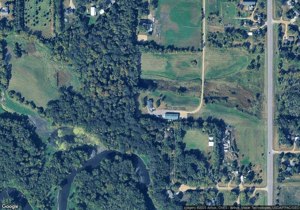
Map
Nearby Homes
- 1157 30th St SE
- 2724 Highway 25 SE
- 2496 40th St SE
- 2191 20th St SE
- 1112 Natalie Ave
- 2620 24th St SE
- XXX Dague Ave SE
- 703 7th St N
- 935 Aspen Ln
- 610 Emerson Ave N
- 726 7th St N
- 0 SE Darrow Ave
- 137 Pheasant Ridge Dr
- 3519 36th St SE
- 150 Pheasant Ridge Dr
- 426 Dillon Ave N
- 643 Fieldcrest Ave N
- 2246 Longhorn Ln
- 645 Fieldcrest Ave N
- Cameron Plan at Northridge
- 842 37th St SE
- 875 875 32nd-Street-se
- 870 37th St SE
- 843 37th St SE
- 924 37th St SE
- XXX 32nd St
- 783 32nd St SE
- 893 37th St SE
- 893 37th St SE
- 1026 35th St SE
- 3341 Highway 25 SE
- 3341 Highway 25 SE
- 3341 Highway 25 SE
- 1027 35th St SE
- 717 32nd St SE
- 3317 SE State Highway 25 SE
- 945 37th St SE
- 3317 Highway 25 SE
- 3317 Highway 25 SE
- 1074 35th St SE