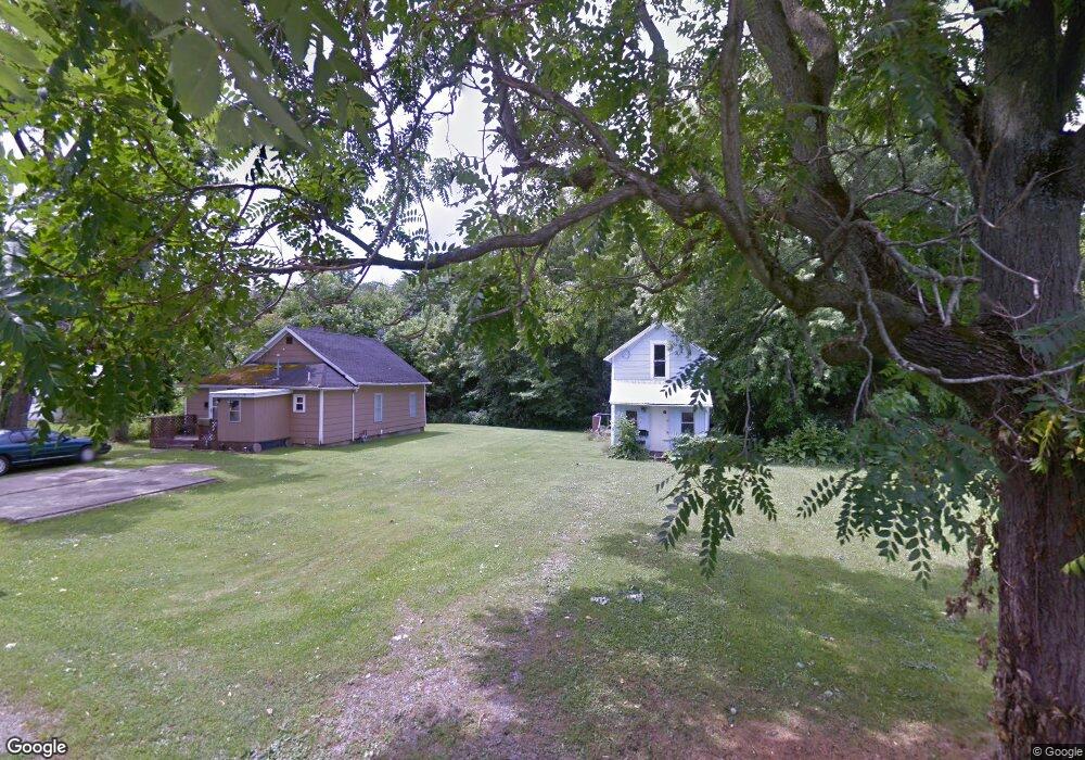
875 Factory Ave Kenton, OH 43326
Estimated Value: $67,513 - $108,000
2
Beds
1
Bath
784
Sq Ft
$118/Sq Ft
Est. Value
About This Home
This home is located at 875 Factory Ave, Kenton, OH 43326 and is currently estimated at $92,628, approximately $118 per square foot. 875 Factory Ave is a home located in Hardin County with nearby schools including Kenton Elementary School, Kenton Middle School, and Kenton High School.
Ownership History
Date
Name
Owned For
Owner Type
Purchase Details
Closed on
Sep 15, 2014
Sold by
Syphrit Pearl A
Bought by
Legge Todd L and Legge Diane L
Current Estimated Value
Home Financials for this Owner
Home Financials are based on the most recent Mortgage that was taken out on this home.
Original Mortgage
$25,000
Outstanding Balance
$19,146
Interest Rate
4.15%
Mortgage Type
Unknown
Estimated Equity
$73,482
Purchase Details
Closed on
Oct 12, 1989
Create a Home Valuation Report for This Property
The Home Valuation Report is an in-depth analysis detailing your home's value as well as a comparison with similar homes in the area
Home Values in the Area
Average Home Value in this Area
Purchase History
| Date | Buyer | Sale Price | Title Company |
|---|---|---|---|
| Legge Todd L | -- | None Available | |
| -- | $2,000 | -- |
Source: Public Records
Mortgage History
| Date | Status | Borrower | Loan Amount |
|---|---|---|---|
| Open | Legge Todd L | $25,000 |
Source: Public Records
Tax History Compared to Growth
Tax History
| Year | Tax Paid | Tax Assessment Tax Assessment Total Assessment is a certain percentage of the fair market value that is determined by local assessors to be the total taxable value of land and additions on the property. | Land | Improvement |
|---|---|---|---|---|
| 2024 | $217 | $4,400 | $1,870 | $2,530 |
| 2023 | $217 | $4,400 | $1,870 | $2,530 |
| 2022 | $184 | $3,510 | $1,310 | $2,200 |
| 2021 | $185 | $3,510 | $1,310 | $2,200 |
| 2020 | $163 | $3,510 | $1,310 | $2,200 |
| 2019 | $137 | $2,970 | $1,240 | $1,730 |
| 2018 | $137 | $2,970 | $1,240 | $1,730 |
| 2017 | $207 | $2,970 | $1,240 | $1,730 |
| 2016 | $279 | $7,010 | $1,370 | $5,640 |
| 2015 | $259 | $7,010 | $1,370 | $5,640 |
| 2014 | $279 | $7,010 | $1,370 | $5,640 |
| 2013 | $313 | $7,630 | $1,370 | $6,260 |
Source: Public Records
Map
Nearby Homes
- 726 Tracy St
- 702 W Franklin St Unit 702 1/2
- 723 W Lima St Unit 66
- 723 W Lima St Unit 1
- 0 Ohio 309
- 424 W Carrol St
- 609 W North St
- 727 S Detroit St
- 639 S Main St
- 1255 W North St Unit Lot 47
- 219 W Carrol St
- 368 N Ida St
- 310 N Market St
- 320 Letson Ave
- 215 N Main St
- 416 Center St
- 233 N Main St
- 121 S High St
- 328 N Detroit St
- 508 Decatur St
- 857 Factory Ave
- 853 Factory Ave
- 849 Factory Ave
- 817 Robinson Ave
- 807 Robinson Ave
- 824 Robinson Ave
- 828 Robinson Ave
- 808 Robinson Ave
- 803 Robinson Ave
- 913 Robinson Ave
- 921 Robinson Ave
- 727 Robinson Ave
- 910 Robinson Ave
- 923 Robinson Ave
- 925 Robinson Ave
- 717 Robinson Ave
- 912 Robinson Ave
- 899 Smith Ave
- 713 Robinson Ave
- 718 Robinson Ave