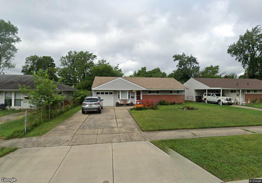
8753 Daly Rd Cincinnati, OH 45231
Finneytown NeighborhoodEstimated Value: $110,664 - $154,000
3
Beds
1
Bath
918
Sq Ft
$152/Sq Ft
Est. Value
About This Home
This home is located at 8753 Daly Rd, Cincinnati, OH 45231 and is currently estimated at $139,916, approximately $152 per square foot. 8753 Daly Rd is a home located in Hamilton County with nearby schools including Mt Healthy High School, St. Vivian School, and John Paul II Catholic School.
Create a Home Valuation Report for This Property
The Home Valuation Report is an in-depth analysis detailing your home's value as well as a comparison with similar homes in the area
Home Values in the Area
Average Home Value in this Area
Tax History
| Year | Tax Paid | Tax Assessment Tax Assessment Total Assessment is a certain percentage of the fair market value that is determined by local assessors to be the total taxable value of land and additions on the property. | Land | Improvement |
|---|---|---|---|---|
| 2025 | $1,728 | $29,562 | $4,757 | $24,805 |
| 2023 | $1,627 | $29,562 | $4,757 | $24,805 |
| 2022 | $1,044 | $13,587 | $4,711 | $8,876 |
| 2021 | $1,016 | $13,587 | $4,711 | $8,876 |
| 2020 | $1,032 | $13,587 | $4,711 | $8,876 |
| 2019 | $1,021 | $12,579 | $4,361 | $8,218 |
| 2018 | $1,027 | $12,579 | $4,361 | $8,218 |
| 2017 | $975 | $12,579 | $4,361 | $8,218 |
| 2016 | $1,304 | $16,657 | $4,708 | $11,949 |
| 2015 | $1,315 | $16,657 | $4,708 | $11,949 |
| 2014 | $1,308 | $16,657 | $4,708 | $11,949 |
| 2013 | $1,348 | $17,535 | $4,956 | $12,579 |
Source: Public Records
Map
Nearby Homes
- 8754 Monsanto Dr
- 1116 Madeleine Cir
- 1144 Hempstead Dr
- 1297 Landis Ln
- 8943 Monsanto Dr
- 8719 Hood Ct
- 8628 Mockingbird Ln
- 1101 Meadowind Ct
- 8771 Desoto Dr
- 1055 Hempstead Dr
- 1088 Pinehollow Ln
- 7352 Clovernook Ave
- 8829 Mockingbird Ln
- 7227 Bernard Ave
- 1123 Compton Rd
- 1115 Compton Rd
- 9137 Fontainebleau Terrace
- 958 Hollytree Dr
- 1006 Hearthstone Dr
- 1458 Van Fleet Ave
Your Personal Tour Guide
Ask me questions while you tour the home.