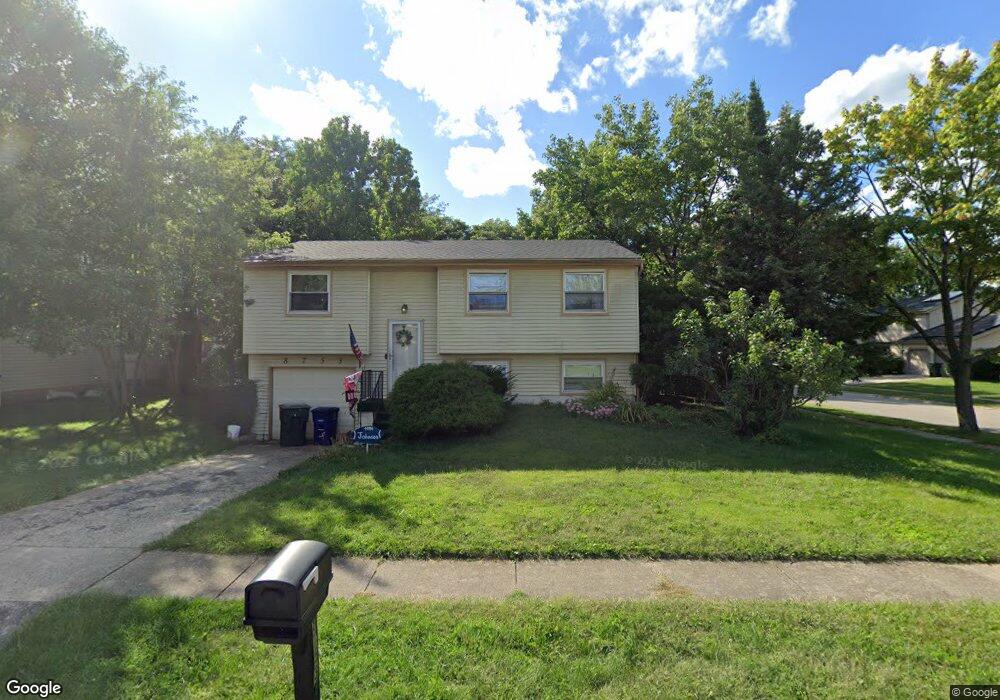
8753 John John Ct Powell, OH 43065
Smoky Ridge Estates NeighborhoodEstimated Value: $318,406 - $343,000
2
Beds
2
Baths
930
Sq Ft
$357/Sq Ft
Est. Value
About This Home
This home is located at 8753 John John Ct, Powell, OH 43065 and is currently estimated at $331,852, approximately $356 per square foot. 8753 John John Ct is a home located in Franklin County with nearby schools including Liberty Elementary School, McCord Middle School, and Worthington Kilbourne High School.
Ownership History
Date
Name
Owned For
Owner Type
Purchase Details
Closed on
Jul 11, 2016
Sold by
Mottaleb Delwar M and Mottaleb Gul N
Bought by
Sambroak Michael J and Sambroak Stephanie M
Current Estimated Value
Home Financials for this Owner
Home Financials are based on the most recent Mortgage that was taken out on this home.
Original Mortgage
$176,000
Outstanding Balance
$138,792
Interest Rate
3.54%
Mortgage Type
Construction
Estimated Equity
$193,060
Purchase Details
Closed on
Oct 6, 1989
Bought by
Treboni Ii James R
Purchase Details
Closed on
Sep 1, 1981
Create a Home Valuation Report for This Property
The Home Valuation Report is an in-depth analysis detailing your home's value as well as a comparison with similar homes in the area
Home Values in the Area
Average Home Value in this Area
Purchase History
| Date | Buyer | Sale Price | Title Company |
|---|---|---|---|
| Sambroak Michael J | $176,000 | Northwest Select Title Agenc | |
| Treboni Ii James R | $64,000 | -- | |
| -- | $45,600 | -- |
Source: Public Records
Mortgage History
| Date | Status | Borrower | Loan Amount |
|---|---|---|---|
| Open | Sambroak Michael J | $176,000 |
Source: Public Records
Tax History
| Year | Tax Paid | Tax Assessment Tax Assessment Total Assessment is a certain percentage of the fair market value that is determined by local assessors to be the total taxable value of land and additions on the property. | Land | Improvement |
|---|---|---|---|---|
| 2025 | $5,766 | $93,910 | $34,020 | $59,890 |
| 2024 | $5,766 | $93,910 | $34,020 | $59,890 |
| 2023 | $5,513 | $93,905 | $34,020 | $59,885 |
| 2022 | $5,063 | $68,430 | $21,280 | $47,150 |
| 2021 | $4,671 | $68,430 | $21,280 | $47,150 |
| 2020 | $4,499 | $68,430 | $21,280 | $47,150 |
| 2019 | $4,213 | $57,820 | $17,710 | $40,110 |
| 2018 | $3,655 | $57,820 | $17,710 | $40,110 |
| 2017 | $3,775 | $57,820 | $17,710 | $40,110 |
| 2016 | $3,228 | $45,470 | $14,180 | $31,290 |
| 2015 | $3,229 | $45,470 | $14,180 | $31,290 |
| 2014 | $3,228 | $45,470 | $14,180 | $31,290 |
| 2013 | $1,606 | $45,465 | $14,175 | $31,290 |
Source: Public Records
Map
Nearby Homes
- 8622 Renford Ct
- 8292 Breckenridge Way
- 8208 Copperfield Dr
- 7907 Sarahurst Dr
- 2288 Benning Dr
- 7898 Sarahurst Dr
- 1436 Park Ridge Dr
- 8213 Longhorn Rd
- 8205 Longhorn Rd
- 1908 Lost Valley Rd
- 1539 Clubview Blvd S
- 1986 Sutter Pkwy
- 2672 Sawmill Reserve Dr Unit 2672
- 2475 Slateshire Dr
- 1483 Dogwood Loop
- 471 Commons Dr Unit 471
- Fiona B Plan at Loch Lomond - Loch Lomond Hills
- 1474 Dogwood Loop
- Fiona A Plan at Loch Lomond - Loch Lomond Hills
- Fiona D Plan at Loch Lomond - Loch Lomond Hills
Your Personal Tour Guide
Ask me questions while you tour the home.