8757 Port Tobacco Rd La Plata, MD 20646
Estimated Value: $495,000 - $647,000
2
Beds
2
Baths
2,085
Sq Ft
$272/Sq Ft
Est. Value
About This Home
This home is located at 8757 Port Tobacco Rd, La Plata, MD 20646 and is currently estimated at $567,097, approximately $271 per square foot. 8757 Port Tobacco Rd is a home located in Charles County with nearby schools including Walter J. Mitchell Elementary School, Milton M. Somers Middle School, and Maurice J. McDonough High School.
Ownership History
Date
Name
Owned For
Owner Type
Purchase Details
Closed on
May 30, 2024
Sold by
Orbits Hal N and Orbits Sandra L
Bought by
Orbits Family Revocable Trust and Orbits
Current Estimated Value
Purchase Details
Closed on
May 15, 2007
Sold by
Fanning William C and Fanning Heather H
Bought by
Orbits Hal N and Orbits Sandra L
Purchase Details
Closed on
May 10, 2007
Sold by
Fanning William C and Fanning Heather H
Bought by
Orbits Hal N and Orbits Sandra L
Purchase Details
Closed on
Jan 16, 2002
Sold by
Nalley Robert C and Nalley Michael L
Bought by
Fanning William C and Fanning Heather H
Purchase Details
Closed on
Jun 26, 1997
Sold by
Nalley William R and Nalley Marie S
Bought by
Nalley Robert C and Nalley Michael L
Create a Home Valuation Report for This Property
The Home Valuation Report is an in-depth analysis detailing your home's value as well as a comparison with similar homes in the area
Home Values in the Area
Average Home Value in this Area
Purchase History
| Date | Buyer | Sale Price | Title Company |
|---|---|---|---|
| Orbits Family Revocable Trust | -- | None Listed On Document | |
| Orbits Family Revocable Trust | -- | None Listed On Document | |
| Orbits Hal N | $200,400 | -- | |
| Orbits Hal N | $200,400 | -- | |
| Fanning William C | $75,000 | -- | |
| Nalley Robert C | -- | -- |
Source: Public Records
Mortgage History
| Date | Status | Borrower | Loan Amount |
|---|---|---|---|
| Closed | Orbits Hal N | -- |
Source: Public Records
Tax History Compared to Growth
Tax History
| Year | Tax Paid | Tax Assessment Tax Assessment Total Assessment is a certain percentage of the fair market value that is determined by local assessors to be the total taxable value of land and additions on the property. | Land | Improvement |
|---|---|---|---|---|
| 2025 | $13,831 | $468,233 | -- | -- |
| 2024 | $52 | $435,667 | $0 | $0 |
| 2023 | $5,699 | $403,100 | $147,500 | $255,600 |
| 2022 | $5,530 | $395,000 | $0 | $0 |
| 2021 | $5,276 | $386,900 | $0 | $0 |
| 2020 | $5,276 | $378,800 | $139,400 | $239,400 |
| 2019 | $5,262 | $378,800 | $139,400 | $239,400 |
| 2018 | $5,219 | $378,800 | $139,400 | $239,400 |
| 2017 | $5,356 | $389,800 | $0 | $0 |
| 2016 | -- | $379,100 | $0 | $0 |
| 2015 | $6,273 | $368,400 | $0 | $0 |
| 2014 | $6,273 | $357,700 | $0 | $0 |
Source: Public Records
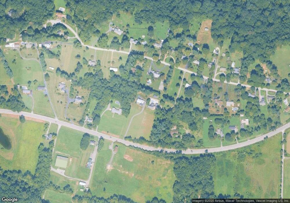
Map
Nearby Homes
- 8802 Port Tobacco Rd
- 9071 Darley Dr
- 212 Morgans Ridge Ct
- 208 Port Tobacco Rd
- 203 Port Tobacco Rd
- 389 Buckeye Cir
- 370 Buckeye Cir
- 8992 Hillary Ct
- 110 Quail Ct
- 9 Gramby Ct
- 6 Gramby Ct
- 9590 May Day St
- 72 Camden Cir
- 22 Camden Cir
- 48 Derby Dr
- 8 Steeplechase Dr
- 134 Charming Forest Ave
- 549 Fawn Meadow Ln
- 291 Forest Edge Ave
- 577 Fawn Meadow Ln
- 8975 Darley Dr
- 8955 Darley Dr
- 8748 Port Tobacco Rd
- 8935 Darley Dr
- 8915 Darley Dr
- 8975 Darley Dr
- 8995 Darley Dr
- 8755 Port Tobacco Rd
- 8730 Port Tobacco Rd
- 8920 Darley Dr
- 8940 Darley Dr
- 8960 Darley Dr
- 8980 Darley Dr
- 8726 Port Tobacco Rd
- 8875 Darley Dr
- 8745 Port Tobacco Rd
- 9015 Darley Dr
- 9000 Darley Dr
- 8900 Darley Dr
- 8900 Darley Dr