876 Reeds Bridge Rd Conway, MA 01341
Estimated Value: $559,000 - $738,039
4
Beds
1
Bath
2,714
Sq Ft
$239/Sq Ft
Est. Value
About This Home
This home is located at 876 Reeds Bridge Rd, Conway, MA 01341 and is currently estimated at $648,013, approximately $238 per square foot. 876 Reeds Bridge Rd is a home located in Franklin County with nearby schools including Frontier Regional School.
Ownership History
Date
Name
Owned For
Owner Type
Purchase Details
Closed on
Feb 17, 2009
Sold by
Milne Christopher B
Bought by
Milne Christopher B
Current Estimated Value
Home Financials for this Owner
Home Financials are based on the most recent Mortgage that was taken out on this home.
Original Mortgage
$343,000
Outstanding Balance
$218,667
Interest Rate
5.26%
Mortgage Type
Purchase Money Mortgage
Estimated Equity
$429,346
Create a Home Valuation Report for This Property
The Home Valuation Report is an in-depth analysis detailing your home's value as well as a comparison with similar homes in the area
Home Values in the Area
Average Home Value in this Area
Purchase History
| Date | Buyer | Sale Price | Title Company |
|---|---|---|---|
| Milne Christopher B | -- | -- |
Source: Public Records
Mortgage History
| Date | Status | Borrower | Loan Amount |
|---|---|---|---|
| Open | Milne Christopher B | $343,000 |
Source: Public Records
Tax History Compared to Growth
Tax History
| Year | Tax Paid | Tax Assessment Tax Assessment Total Assessment is a certain percentage of the fair market value that is determined by local assessors to be the total taxable value of land and additions on the property. | Land | Improvement |
|---|---|---|---|---|
| 2025 | $9,346 | $647,200 | $125,500 | $521,700 |
| 2024 | $8,820 | $537,800 | $114,000 | $423,800 |
| 2023 | $9,223 | $537,800 | $114,000 | $423,800 |
| 2022 | $8,973 | $499,900 | $107,400 | $392,500 |
| 2021 | $8,833 | $471,600 | $102,700 | $368,900 |
| 2020 | $7,997 | $426,300 | $102,300 | $324,000 |
| 2019 | $8,169 | $438,000 | $114,000 | $324,000 |
| 2018 | $8,103 | $438,000 | $114,000 | $324,000 |
| 2017 | $16,770 | $944,800 | $567,300 | $377,500 |
| 2016 | $8,714 | $522,400 | $138,500 | $383,900 |
| 2015 | $8,447 | $522,400 | $138,500 | $383,900 |
Source: Public Records
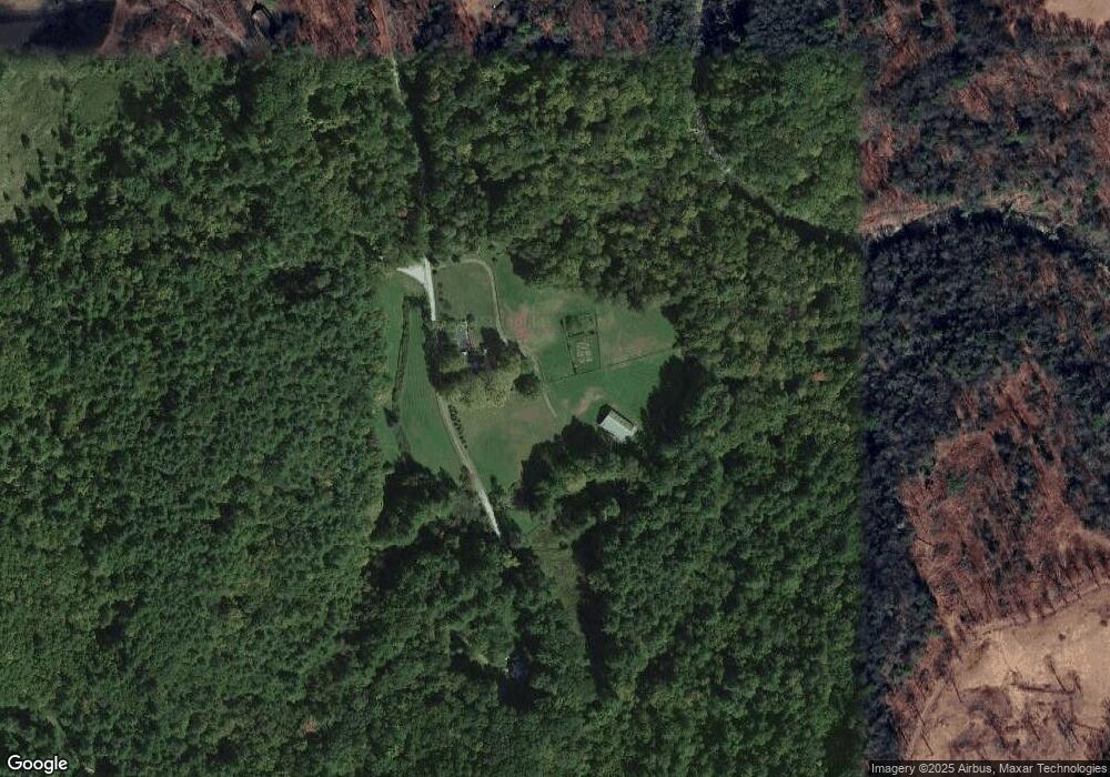
Map
Nearby Homes
- 85 Dacey Rd
- 59 Hoosac Rd
- 14 River St
- 0 Pleasant St
- 406 Hart Rd
- 40 Hawks Rd
- 581 Pfersick Rd
- 901 Roaring Brook Rd
- 30 Lee Rd
- 339 S Shelburne Rd
- 107 Plain Rd
- 40 Whately Glen Rd
- 10 Old Albany Rd
- 169 Old Albany Rd
- 166 S Shelburne Rd
- 61 Mill Village Rd Unit B
- 345 Greenfield Rd
- 50 Old Village Rd
- 240 Beldingville Rd
- 208 Greenfield Rd
- 776 Reeds Bridge Rd
- 826 Graves Rd
- 954 Reeds Bridge Rd
- 734 Reeds Bridge Rd
- 800 Graves Rd
- 76 Truce Rd
- 84 Leukhardt Rd
- 858 Graves Rd
- 655 Reeds Bridge Rd
- 148 Truce Rd
- 765 Graves Rd
- 896 Graves Rd
- 86 Leukhardt Rd
- 733 Graves Rd
- 1062 Reeds Bridge Rd
- 615 Reeds Bridge Rd
- 191 Truce Rd
- 1088 Reeds Bridge Rd
- Lot 15 Graves Rd
- 727 Bardwells Ferry Rd