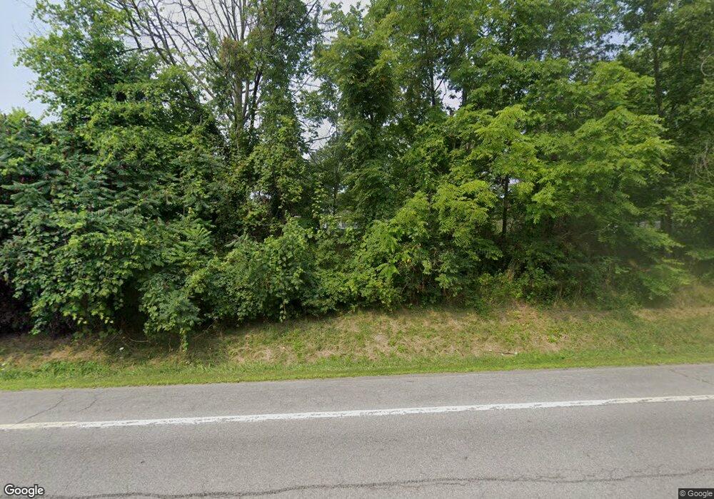
8766 State Route 256 Dansville, NY 14437
Estimated Value: $196,000 - $227,000
3
Beds
2
Baths
1,608
Sq Ft
$130/Sq Ft
Est. Value
About This Home
This home is located at 8766 State Route 256, Dansville, NY 14437 and is currently estimated at $209,339, approximately $130 per square foot. 8766 State Route 256 is a home located in Livingston County with nearby schools including Dansville Primary School, Ellis B Hyde Elementary School, and Dansville Junior Senior High School.
Ownership History
Date
Name
Owned For
Owner Type
Purchase Details
Closed on
May 28, 2009
Sold by
Salem Michael
Bought by
Barnhart Mark
Current Estimated Value
Home Financials for this Owner
Home Financials are based on the most recent Mortgage that was taken out on this home.
Original Mortgage
$94,118
Outstanding Balance
$53,990
Interest Rate
4.87%
Mortgage Type
Unknown
Estimated Equity
$155,349
Purchase Details
Closed on
Oct 27, 2008
Sold by
Salem Michael
Bought by
Salem Scott Michael
Purchase Details
Closed on
Nov 12, 2002
Sold by
Ronsheim Samuel B
Bought by
Butler Martha
Create a Home Valuation Report for This Property
The Home Valuation Report is an in-depth analysis detailing your home's value as well as a comparison with similar homes in the area
Home Values in the Area
Average Home Value in this Area
Purchase History
| Date | Buyer | Sale Price | Title Company |
|---|---|---|---|
| Barnhart Mark | $100,000 | Robert Presutti | |
| Salem Scott Michael | -- | -- | |
| Butler Martha | -- | Wallace F Ashnault |
Source: Public Records
Mortgage History
| Date | Status | Borrower | Loan Amount |
|---|---|---|---|
| Open | Barnhart Mark | $94,118 | |
| Closed | Barnhart Mark | $14,094 |
Source: Public Records
Tax History Compared to Growth
Tax History
| Year | Tax Paid | Tax Assessment Tax Assessment Total Assessment is a certain percentage of the fair market value that is determined by local assessors to be the total taxable value of land and additions on the property. | Land | Improvement |
|---|---|---|---|---|
| 2024 | $3,663 | $131,400 | $18,600 | $112,800 |
| 2023 | $3,658 | $131,400 | $18,600 | $112,800 |
| 2022 | $3,630 | $131,400 | $18,600 | $112,800 |
| 2021 | $3,726 | $115,400 | $16,200 | $99,200 |
| 2020 | $3,773 | $115,400 | $16,200 | $99,200 |
| 2019 | -- | $115,400 | $16,200 | $99,200 |
| 2018 | $3,706 | $115,400 | $16,200 | $99,200 |
| 2017 | $3,946 | $117,300 | $17,200 | $100,100 |
| 2016 | $3,905 | $117,300 | $17,200 | $100,100 |
| 2015 | -- | $117,300 | $17,200 | $100,100 |
| 2014 | -- | $117,300 | $17,200 | $100,100 |
Source: Public Records
Map
Nearby Homes
- 8557 Reeds Corners Rd
- 9221 Health St
- 20 Depot Rd
- 8330 Logan Rd
- 8397 Parker Hill Rd
- 12 Sunnyside Dr
- 8200 Logan Rd
- 3 Wilmot St
- 237 Main St
- 53 Chestnut Ave
- 9648 Mcwhorter Rd
- 27 Chestnut Ave
- 2 Washington St
- 70 Leonard St
- 14 Pine St
- 21 Pine St
- 13 Lincoln Ave
- 8408 Story Rd
- 30 Clara Barton St
- 32 Jefferson St
- 8750 State Route 256
- 8794 State Route 256
- 8824 Schuster Rd
- 8780 Schuster Rd
- 8806 State Route 256
- 8824 State Route 256
- 8790 Schuster Rd
- 8747 Schuster Rd
- 8765 Schuster Rd
- 8828 State Route 256
- 5960 Harter Rd
- 8727 State Route 256
- 8800 Schuster Rd
- 8846 State Route 256
- 8839 State Route 256
- 8837 New York 256
- 8811 Schuster Rd
- 8861 State Route 256
- 8862 State Route 256
- 5966 Harter Rd
