8767 W Loop Rd Port Byron, NY 13140
Estimated Value: $197,000 - $276,819
4
Beds
2
Baths
1,560
Sq Ft
$154/Sq Ft
Est. Value
About This Home
This home is located at 8767 W Loop Rd, Port Byron, NY 13140 and is currently estimated at $239,955, approximately $153 per square foot. 8767 W Loop Rd is a home located in Cayuga County with nearby schools including A.A. Gates Elementary School and Port Byron Senior High School.
Ownership History
Date
Name
Owned For
Owner Type
Purchase Details
Closed on
Feb 3, 2011
Sold by
Schooley Ralph L and Schooley Sharon Y
Bought by
Glimpse Joel L
Current Estimated Value
Home Financials for this Owner
Home Financials are based on the most recent Mortgage that was taken out on this home.
Original Mortgage
$30,000
Interest Rate
6%
Mortgage Type
Seller Take Back
Purchase Details
Closed on
Nov 5, 1999
Sold by
Jama Kessler
Bought by
Glimpse Joel
Create a Home Valuation Report for This Property
The Home Valuation Report is an in-depth analysis detailing your home's value as well as a comparison with similar homes in the area
Home Values in the Area
Average Home Value in this Area
Purchase History
| Date | Buyer | Sale Price | Title Company |
|---|---|---|---|
| Glimpse Joel L | $35,000 | None Available | |
| Glimpse Joel | $500 | Norman Chirco |
Source: Public Records
Mortgage History
| Date | Status | Borrower | Loan Amount |
|---|---|---|---|
| Closed | Glimpse Joel L | $30,000 |
Source: Public Records
Tax History
| Year | Tax Paid | Tax Assessment Tax Assessment Total Assessment is a certain percentage of the fair market value that is determined by local assessors to be the total taxable value of land and additions on the property. | Land | Improvement |
|---|---|---|---|---|
| 2025 | $5,421 | $117,800 | $15,900 | $101,900 |
| 2024 | $5,421 | $112,800 | $15,900 | $96,900 |
| 2023 | $5,200 | $112,800 | $15,900 | $96,900 |
| 2022 | $4,595 | $112,800 | $15,900 | $96,900 |
| 2021 | $4,467 | $112,800 | $15,900 | $96,900 |
| 2020 | $4,060 | $112,800 | $15,900 | $96,900 |
| 2019 | $1,901 | $112,800 | $15,900 | $96,900 |
| 2018 | $3,959 | $112,800 | $15,900 | $96,900 |
| 2017 | $3,891 | $112,800 | $15,900 | $96,900 |
| 2016 | $3,783 | $112,800 | $15,900 | $96,900 |
| 2015 | -- | $112,800 | $15,900 | $96,900 |
| 2014 | -- | $112,800 | $15,900 | $96,900 |
Source: Public Records
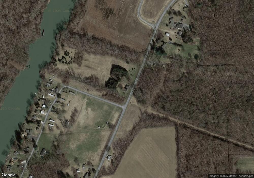
Map
Nearby Homes
- 8727 Dwyer Rd
- 13197 Maple St
- 13143 W Church St
- 1261 Stickles Ln
- 5 Canal St
- 9 E Dock St
- 1218 Hard Point Rd
- 7528 Armbruster Rd
- 179 Main St
- 1687 Wilsey Rd
- 77 South St
- 0 State Route 31 Unit R1657517
- 7567 Beach Rd
- 8299 State Street Rd
- 2818 Drable Rd
- 7023 River Rd
- 864 Gravel Rd
- 6939 State Route 90 N
- 6863 Baldwin Rd
- 13176 S Butler Conquest Rd
Your Personal Tour Guide
Ask me questions while you tour the home.