877 County Road 7 SW Garfield, MN 56332
Estimated Value: $300,000 - $390,000
--
Bed
--
Bath
1,178
Sq Ft
$302/Sq Ft
Est. Value
About This Home
This home is located at 877 County Road 7 SW, Garfield, MN 56332 and is currently estimated at $356,328, approximately $302 per square foot. 877 County Road 7 SW is a home with nearby schools including Brandon Elementary School, Evansville Elementary School, and Brandon-Evansville Middle School.
Ownership History
Date
Name
Owned For
Owner Type
Purchase Details
Closed on
May 28, 2020
Sold by
Sletto Linda M and Sletto Lydon O
Bought by
Sletto Nolan
Current Estimated Value
Home Financials for this Owner
Home Financials are based on the most recent Mortgage that was taken out on this home.
Original Mortgage
$183,500
Outstanding Balance
$162,962
Interest Rate
3.3%
Mortgage Type
New Conventional
Estimated Equity
$193,366
Purchase Details
Closed on
Jul 5, 2017
Sold by
Sletto Lydon O and Sletto Linda M
Bought by
Sletto Linda M
Create a Home Valuation Report for This Property
The Home Valuation Report is an in-depth analysis detailing your home's value as well as a comparison with similar homes in the area
Home Values in the Area
Average Home Value in this Area
Purchase History
| Date | Buyer | Sale Price | Title Company |
|---|---|---|---|
| Sletto Nolan | $215,000 | Alexandria Title Co | |
| Sletto Linda M | -- | None Available |
Source: Public Records
Mortgage History
| Date | Status | Borrower | Loan Amount |
|---|---|---|---|
| Open | Sletto Nolan | $183,500 |
Source: Public Records
Tax History Compared to Growth
Tax History
| Year | Tax Paid | Tax Assessment Tax Assessment Total Assessment is a certain percentage of the fair market value that is determined by local assessors to be the total taxable value of land and additions on the property. | Land | Improvement |
|---|---|---|---|---|
| 2025 | $2,916 | $341,700 | $110,600 | $231,100 |
| 2024 | $2,916 | $321,600 | $101,800 | $219,800 |
| 2023 | $2,978 | $300,300 | $88,200 | $212,100 |
| 2022 | $2,628 | $264,600 | $70,700 | $193,900 |
| 2021 | $1,466 | $231,900 | $66,900 | $165,000 |
| 2020 | $1,416 | $215,100 | $64,600 | $150,500 |
| 2019 | $1,266 | $203,400 | $57,500 | $145,900 |
| 2018 | $1,216 | $200,200 | $57,500 | $142,700 |
| 2017 | $1,154 | $187,300 | $54,500 | $132,800 |
| 2016 | $1,084 | $177,801 | $52,865 | $124,936 |
| 2015 | $1,108 | $0 | $0 | $0 |
| 2014 | -- | $175,500 | $55,200 | $120,300 |
Source: Public Records
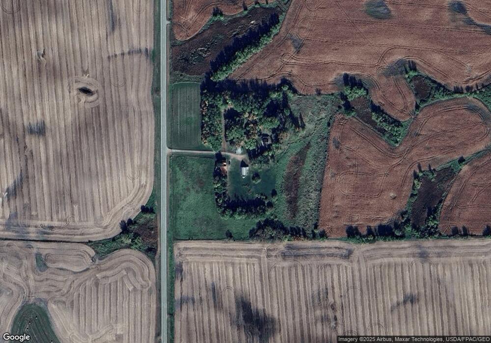
Map
Nearby Homes
- 2221 Reubens Ln SW Unit 29
- TBD Valley Ln SW
- 2134 County Road 15 SW
- 2012 Brandt's Beach Ct
- TBD Moe Hall Rd NW
- 6070 Fern Ln SW
- 1380 90th St SW
- XXX Loon Point Dr
- 8951 Twin Point Rd SW Unit 69
- TBD County Road 7 SW
- XXX County Road 7 SW
- 20575 Tower Hill Rd SW
- 7890 Lawnys Cir SW
- 7687 Lindgren Way SW
- 7060 10th Ave SW
- 12690 Lake Aldrich Ct NW
- 310 Lot1.1 Mallard Ln
- 404 Lot1.2 Mallard Ln
- 4291 County Road 1 SW
- TBD County Road 82 NW