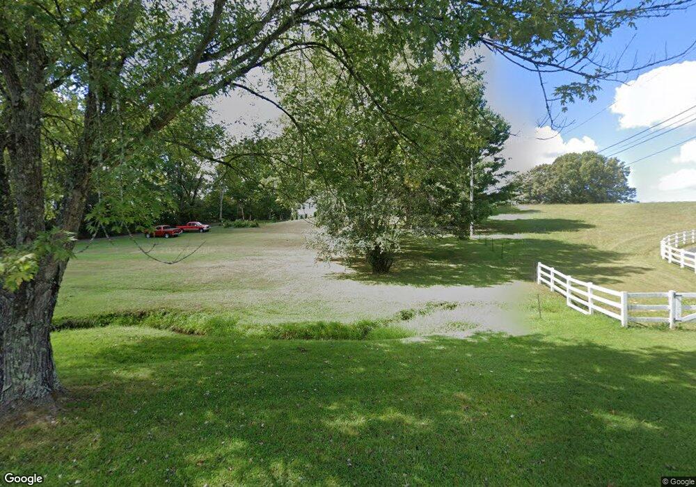
877 Sherrill Dr Cookeville, TN 38501
Estimated Value: $284,243 - $365,000
--
Bed
1
Bath
1,976
Sq Ft
$163/Sq Ft
Est. Value
About This Home
This home is located at 877 Sherrill Dr, Cookeville, TN 38501 and is currently estimated at $322,061, approximately $162 per square foot. 877 Sherrill Dr is a home located in Putnam County with nearby schools including Cane Creek Elementary School, Upperman Middle School, and Upperman High School.
Ownership History
Date
Name
Owned For
Owner Type
Purchase Details
Closed on
Nov 21, 2017
Sold by
Mullins Gene
Bought by
Oakley Mark
Current Estimated Value
Purchase Details
Closed on
Sep 10, 1997
Sold by
Young Robert W
Bought by
Oakley Mark C and Oakley Sheila
Home Financials for this Owner
Home Financials are based on the most recent Mortgage that was taken out on this home.
Original Mortgage
$81,299
Interest Rate
7.46%
Purchase Details
Closed on
Aug 12, 1988
Bought by
Young Robert W and Young Alice A
Purchase Details
Closed on
Dec 16, 1980
Bought by
Ferrell Trellis and Ferrell Mildred
Create a Home Valuation Report for This Property
The Home Valuation Report is an in-depth analysis detailing your home's value as well as a comparison with similar homes in the area
Home Values in the Area
Average Home Value in this Area
Purchase History
| Date | Buyer | Sale Price | Title Company |
|---|---|---|---|
| Oakley Mark | $140,500 | -- | |
| Oakley Mark C | $81,000 | -- | |
| Young Robert W | $8,500 | -- | |
| Ferrell Trellis | -- | -- |
Source: Public Records
Mortgage History
| Date | Status | Borrower | Loan Amount |
|---|---|---|---|
| Previous Owner | Ferrell Trellis | $81,299 |
Source: Public Records
Tax History Compared to Growth
Tax History
| Year | Tax Paid | Tax Assessment Tax Assessment Total Assessment is a certain percentage of the fair market value that is determined by local assessors to be the total taxable value of land and additions on the property. | Land | Improvement |
|---|---|---|---|---|
| 2024 | $1,780 | $49,725 | $9,275 | $40,450 |
| 2023 | $1,780 | $49,725 | $9,275 | $40,450 |
| 2022 | $1,637 | $49,725 | $9,275 | $40,450 |
| 2021 | $1,432 | $43,500 | $9,275 | $34,225 |
| 2020 | $1,351 | $43,500 | $9,275 | $34,225 |
| 2019 | $1,351 | $34,500 | $9,275 | $25,225 |
| 2018 | $1,232 | $34,500 | $9,275 | $25,225 |
| 2017 | $1,232 | $34,500 | $9,275 | $25,225 |
| 2016 | $1,232 | $34,500 | $9,275 | $25,225 |
| 2015 | $1,278 | $34,500 | $9,275 | $25,225 |
| 2014 | $1,193 | $32,200 | $0 | $0 |
Source: Public Records
Map
Nearby Homes
- 1440 Apple Valley Ct
- 1330 Kensington Cir
- 915 Buffalo Valley Rd
- 2.52 ac W Broad St
- 1322 Kensington Cir
- Lot 3 Miller
- 359 C Camp Rd
- 2.52 St
- 2911 Grand Ridge Dr
- 2011 Wildwood Ct
- 279 Willow Brook Dr
- 798 Buffalo Valley Rd
- 0 Corner of W Broad St & Tn Ave Unit RTC2794105
- 1957 W Broad St
- 1408 Oak Grove Dr
- 270 Locust Grove Rd
- 715 W Oak Dr
- 2136 W Broad St
- 1405 Brook Hill Dr
- 2065 Buffalo Valley Rd
- 2037 Buffalo Valley Rd
- 2045 Buffalo Valley Rd
- 2089 Buffalo Valley Rd
- 369 Ridgedale Dr
- 359 Ridgedale Dr
- 825 Sherrill Dr
- 2076 Buffalo Valley Rd
- 2064 Buffalo Valley Rd
- 349 Ridgedale Dr
- 760 Sherrill Dr
- 2100 Buffalo Valley Rd
- 2125 Buffalo Valley Rd
- 339 Ridgedale Dr
- 2141 Buffalo Valley Rd
- 2118 Buffalo Valley Rd
- 1163 Oak Hill Dr
- 2155 Buffalo Valley Rd
- 2136 Buffalo Valley Rd
- 2088 Buffalo Valley Rd