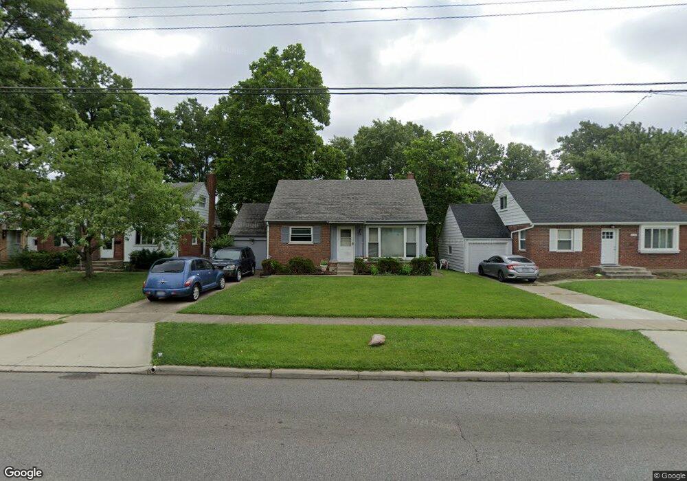
8772 Daly Rd Cincinnati, OH 45231
Finneytown NeighborhoodEstimated Value: $146,619 - $197,000
3
Beds
1
Bath
1,110
Sq Ft
$150/Sq Ft
Est. Value
About This Home
This home is located at 8772 Daly Rd, Cincinnati, OH 45231 and is currently estimated at $166,155, approximately $149 per square foot. 8772 Daly Rd is a home located in Hamilton County with nearby schools including Finneytown Elementary School, Finneytown Secondary Campus, and St. Vivian School.
Ownership History
Date
Name
Owned For
Owner Type
Purchase Details
Closed on
Jun 4, 1997
Sold by
Heck Patricia J and Jernigan Patricia J
Bought by
Hill La Mont K and Hill Mary N
Current Estimated Value
Home Financials for this Owner
Home Financials are based on the most recent Mortgage that was taken out on this home.
Original Mortgage
$62,474
Outstanding Balance
$7,428
Interest Rate
8.13%
Mortgage Type
FHA
Estimated Equity
$158,727
Create a Home Valuation Report for This Property
The Home Valuation Report is an in-depth analysis detailing your home's value as well as a comparison with similar homes in the area
Home Values in the Area
Average Home Value in this Area
Purchase History
We collect this data history from publicly available records. To have your information removed, we recommend requesting removal directly through your county’s website.
| Date | Buyer | Sale Price | Title Company |
|---|---|---|---|
| Hill La Mont K | $63,000 | Midland Title Security Inc |
Source: Public Records
Mortgage History
We collect this data history from publicly available records. To have your information removed, we recommend requesting removal directly through your county’s website.
| Date | Status | Borrower | Loan Amount |
|---|---|---|---|
| Open | Hill La Mont K | $62,474 |
Source: Public Records
Tax History
| Year | Tax Paid | Tax Assessment Tax Assessment Total Assessment is a certain percentage of the fair market value that is determined by local assessors to be the total taxable value of land and additions on the property. | Land | Improvement |
|---|---|---|---|---|
| 2025 | $2,217 | $30,905 | $5,803 | $25,102 |
| 2023 | $2,150 | $30,905 | $5,803 | $25,102 |
| 2022 | $2,359 | $24,662 | $5,723 | $18,939 |
| 2021 | $2,363 | $24,662 | $5,723 | $18,939 |
| 2020 | $2,341 | $24,662 | $5,723 | $18,939 |
| 2019 | $2,165 | $20,902 | $4,851 | $16,051 |
| 2018 | $2,003 | $20,902 | $4,851 | $16,051 |
| 2017 | $1,938 | $20,902 | $4,851 | $16,051 |
| 2016 | $2,171 | $22,740 | $5,268 | $17,472 |
| 2015 | $2,150 | $22,740 | $5,268 | $17,472 |
| 2014 | $2,148 | $22,740 | $5,268 | $17,472 |
| 2013 | $2,186 | $23,937 | $5,544 | $18,393 |
Source: Public Records
Map
Nearby Homes
- 8779 Daly Rd
- 8796 Balboa Dr
- 8793 Balboa Dr
- 8754 Monsanto Dr
- 8634 Daly Rd
- 1275 Frost Ct
- 8819 Grenada Dr
- 8616 Balboa Dr
- 8877 Balboa Dr
- 1175 Madeleine Cir
- 1290 Aldrich Ave
- 1176 Madeleine Cir
- 1304 Aldrich Ave
- 1149 Madeleine Cir
- 1316 Landis Ln
- 1313 Landis Ln
- 8844 Ebro Ct
- 8491 Fernwell Dr
- 8845 Ebro Ct
- 8771 Desoto Dr
Your Personal Tour Guide
Ask me questions while you tour the home.