8774 Crooked Stick Ct Lone Tree, CO 80124
Estimated Value: $2,009,000 - $2,372,000
5
Beds
6
Baths
6,357
Sq Ft
$340/Sq Ft
Est. Value
About This Home
This home is located at 8774 Crooked Stick Ct, Lone Tree, CO 80124 and is currently estimated at $2,160,449, approximately $339 per square foot. 8774 Crooked Stick Ct is a home located in Douglas County with nearby schools including Eagle Ridge Elementary School, Cresthill Middle School, and Highlands Ranch High School.
Ownership History
Date
Name
Owned For
Owner Type
Purchase Details
Closed on
Dec 14, 2018
Sold by
Mateskon Joan E and Mateskon Charles A
Bought by
Watts James F and Watts Linda C
Current Estimated Value
Home Financials for this Owner
Home Financials are based on the most recent Mortgage that was taken out on this home.
Original Mortgage
$1,292,000
Outstanding Balance
$1,138,279
Interest Rate
4.8%
Mortgage Type
New Conventional
Estimated Equity
$1,022,170
Purchase Details
Closed on
Oct 13, 2008
Sold by
Celebrity Custom Homes I Llc
Bought by
Mateskon Joan E and Mateskon Charles A
Home Financials for this Owner
Home Financials are based on the most recent Mortgage that was taken out on this home.
Original Mortgage
$417,000
Interest Rate
6.35%
Mortgage Type
Unknown
Purchase Details
Closed on
Nov 1, 2006
Sold by
Celebrity Development Corp
Bought by
Celebrity Custom Homes I Llc
Create a Home Valuation Report for This Property
The Home Valuation Report is an in-depth analysis detailing your home's value as well as a comparison with similar homes in the area
Home Values in the Area
Average Home Value in this Area
Purchase History
| Date | Buyer | Sale Price | Title Company |
|---|---|---|---|
| Watts James F | $1,615,000 | Land Title Guarantee Co | |
| Mateskon Joan E | $1,300,000 | None Available | |
| Celebrity Custom Homes I Llc | $228,750 | None Available |
Source: Public Records
Mortgage History
| Date | Status | Borrower | Loan Amount |
|---|---|---|---|
| Open | Watts James F | $1,292,000 | |
| Previous Owner | Mateskon Joan E | $417,000 |
Source: Public Records
Tax History Compared to Growth
Tax History
| Year | Tax Paid | Tax Assessment Tax Assessment Total Assessment is a certain percentage of the fair market value that is determined by local assessors to be the total taxable value of land and additions on the property. | Land | Improvement |
|---|---|---|---|---|
| 2024 | $12,389 | $135,960 | $17,210 | $118,750 |
| 2023 | $12,514 | $135,960 | $17,210 | $118,750 |
| 2022 | $10,164 | $111,770 | $12,330 | $99,440 |
| 2021 | $10,567 | $111,770 | $12,330 | $99,440 |
| 2020 | $9,798 | $106,180 | $12,230 | $93,950 |
| 2019 | $9,830 | $106,180 | $12,230 | $93,950 |
| 2018 | $8,978 | $103,720 | $12,730 | $90,990 |
| 2017 | $9,122 | $103,720 | $12,730 | $90,990 |
| 2016 | $8,637 | $96,220 | $14,280 | $81,940 |
| 2015 | $8,828 | $96,220 | $14,280 | $81,940 |
| 2014 | $8,044 | $82,210 | $13,130 | $69,080 |
Source: Public Records
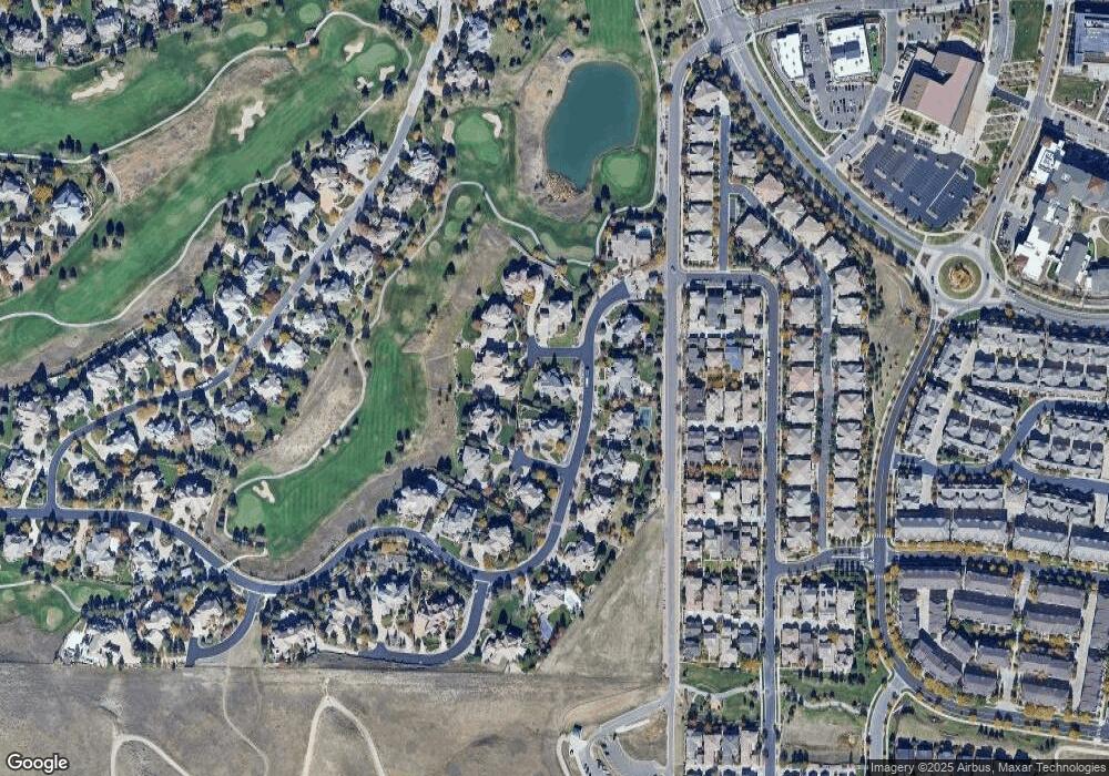
Map
Nearby Homes
- 10205 Bluffmont Dr
- 10102 Prestwick Trail
- 9165 Kornbrust Dr
- 9182 Ridgegate Pkwy
- 10164 Ridgegate Cir
- 10357 Bluffmont Dr
- 10311 Belvedere Ln
- 10262 Greentrail Cir
- 10488 Bluffmont Dr
- 10225 Bellwether Ln
- 10884 Lyric St
- 10031 Town Ridge Ln
- 10066 Belvedere Cir
- 9520 Halstead Ln
- 9873 Greensview Cir
- 7855 Arundel Ln
- 9851 Greensview Cir
- 10225 Dunsford Dr
- 9838 Cypress Point Cir
- 10629 Ladera Point
- 8751 Crooked Stick Place
- 8754 Crooked Stick Ct
- 8745 Crooked Stick Place
- 8775 Crooked Stick Ct
- 10164 Crooked Stick Trail
- 8750 Crooked Stick Ct
- 10180 Crooked Stick Trail
- 10142 Crooked Stick Trail
- 8755 Crooked Stick Ct
- 10196 Crooked Stick Trail
- 8746 Crooked Stick Place
- 8750 Crooked Stick Place
- 10212 Crooked Stick Trail
- 10193 Bluffmont Dr
- 10179 Bluffmont Dr
- 10195 Bluffmont Dr
- 10121 Crooked Stick Trail
- 10191 Bluffmont Dr
- 8683 Sawgrass Dr
- 8667 Sawgrass Dr