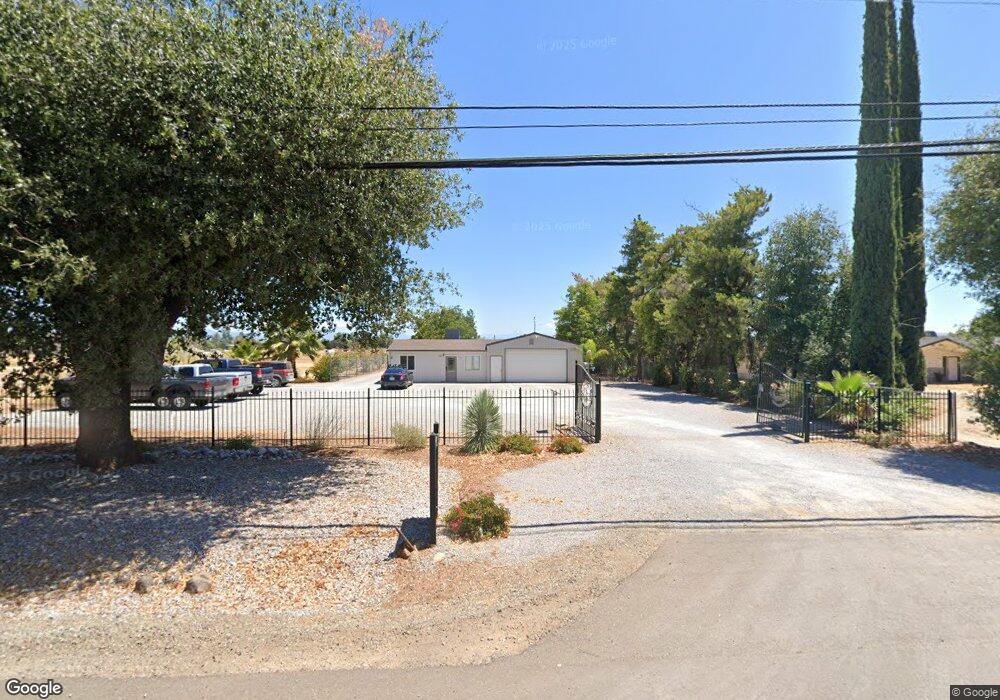
8779 Airport Rd Redding, CA 96002
Clover Creek NeighborhoodEstimated Value: $374,964
About This Home
This home is located at 8779 Airport Rd, Redding, CA 96002 and is currently estimated at $374,964, approximately $195 per square foot. 8779 Airport Rd is a home located in Shasta County with nearby schools including Columbia Elementary School, Junction Elementary School, and Mountain View Middle School.
Ownership History
We collect this data history from publicly available records. To have your information removed, we recommend requesting removal directly through your county’s website.
Purchase Details
Purchase Details
Home Financials for this Owner
Home Financials are based on the most recent Mortgage that was taken out on this home.Purchase Details
Home Financials for this Owner
Home Financials are based on the most recent Mortgage that was taken out on this home.Home Values in the Area
Average Home Value in this Area
Purchase History
We collect this data history from publicly available records. To have your information removed, we recommend requesting removal directly through your county’s website.
| Date | Buyer | Sale Price | Title Company |
|---|---|---|---|
| -- | None Listed On Document | ||
| -- | Fidelity National Title Compan | ||
| $235,000 | First American Title Company |
Mortgage History
We collect this data history from publicly available records. To have your information removed, we recommend requesting removal directly through your county’s website.
| Date | Status | Borrower | Loan Amount |
|---|---|---|---|
| Previous Owner | $150,000 | ||
| Previous Owner | $180,000 |
Tax History
We collect this data history from publicly available records. To have your information removed, we recommend requesting removal directly through your county’s website.
| Year | Tax Paid | Tax Assessment Tax Assessment Total Assessment is a certain percentage of the fair market value that is determined by local assessors to be the total taxable value of land and additions on the property. | Land | Improvement |
|---|---|---|---|---|
| 2025 | $3,404 | $284,439 | $220,507 | $63,932 |
| 2024 | $3,305 | $315,303 | $216,184 | $99,119 |
| 2023 | $3,305 | $304,942 | $211,946 | $92,996 |
| 2022 | $2,877 | $266,333 | $207,791 | $58,542 |
| 2021 | $2,819 | $260,425 | $203,717 | $56,708 |
| 2020 | $2,808 | $256,253 | $201,629 | $54,624 |
| 2019 | $2,706 | $251,694 | $197,676 | $54,018 |
| 2018 | $2,766 | $247,380 | $193,800 | $53,580 |
| 2017 | $2,718 | $245,682 | $198,139 | $47,543 |
| 2016 | $2,581 | $240,865 | $194,254 | $46,611 |
| 2015 | $2,473 | $237,248 | $191,337 | $45,911 |
| 2014 | $2,443 | $232,601 | $187,589 | $45,012 |
Map
- 8743 Airport Rd
- 4655 Goodwater Ave
- 8527 Patricia Dr
- 3356 Rancho Rd
- 3052 Clear Water Ct
- 9105 Madrone Way
- 3008 Copper Creek Dr
- 3511 Laver St
- 5373 Rancho Vista Way
- 2765 Madison River Dr
- 5101 Mclaren Dr
- 3063 Sebring Ave
- 2719 Western Oak Dr
- 3685 Wimbledon Dr
- 2704 Western Oak Dr
- 5016 Monaco Pkwy
- 20831 Clough Creek Rd
- 3183 Agassi Ln
- 2615 Templeton Dr
- 3424 Lowland Ave
- 8790,8792 Airport Rd
- 8770 Airport Rd
- 8817 Airport Rd
- 8748 Airport Rd
- 8788 Airport Rd
- 8790 Airport Rd
- 20279 Lupine Dr
- 8794 Airport Rd
- 8730 Airport Rd
- 20278 Lupine Dr
- 20267 Lupine Dr
- 20172 Charlanne Dr
- 8711 Airport Rd
- 20270 Lupine Dr
- 20259 Lupine Dr
- 20258 Lupine Dr
- 8693 Airport Rd
- 8715 Airport Rd
- 20259 Blue Jay Dr
- 8700 Airport Rd
Ask me questions while you tour the home.