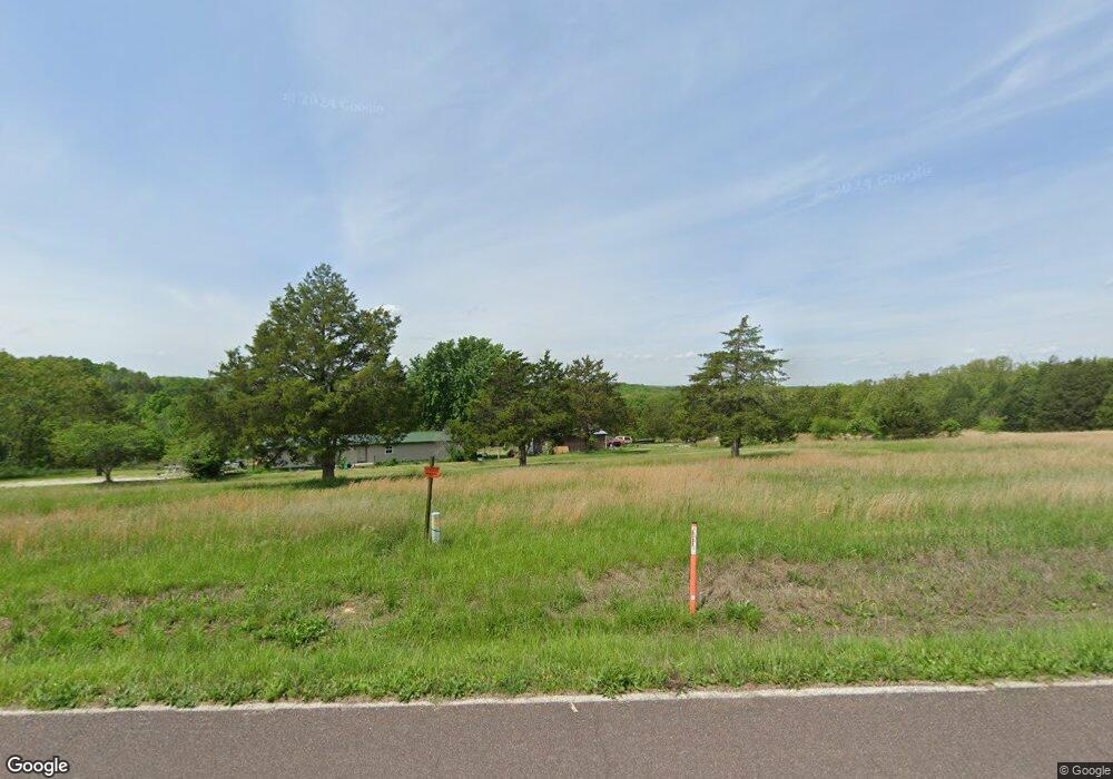
8785 Highway Ae Sullivan, MO 63080
Estimated Value: $188,000
3
Beds
2
Baths
1,816
Sq Ft
$104/Sq Ft
Est. Value
About This Home
This home is located at 8785 Highway Ae, Sullivan, MO 63080 and is currently estimated at $188,000, approximately $103 per square foot. 8785 Highway Ae is a home located in Franklin County with nearby schools including Strain-Japan Elementary School.
Ownership History
Date
Name
Owned For
Owner Type
Purchase Details
Closed on
Apr 23, 2021
Sold by
Kitson William C
Bought by
Allen Joshua R
Current Estimated Value
Purchase Details
Closed on
Oct 22, 2018
Sold by
Franklin Financial Corp
Bought by
Allen Joshua R and Kitson William C
Purchase Details
Closed on
Mar 23, 2005
Sold by
Gauer Nickolas P
Bought by
Sandvoss Karl and Dunlap Elisa
Home Financials for this Owner
Home Financials are based on the most recent Mortgage that was taken out on this home.
Original Mortgage
$35,300
Interest Rate
5.75%
Mortgage Type
Unknown
Create a Home Valuation Report for This Property
The Home Valuation Report is an in-depth analysis detailing your home's value as well as a comparison with similar homes in the area
Purchase History
| Date | Buyer | Sale Price | Title Company |
|---|---|---|---|
| Allen Joshua R | -- | None Available | |
| Allen Joshua R | -- | None Available | |
| Sandvoss Karl | -- | None Available |
Source: Public Records
Mortgage History
| Date | Status | Borrower | Loan Amount |
|---|---|---|---|
| Previous Owner | Sandvoss Karl | $35,300 |
Source: Public Records
Tax History
| Year | Tax Paid | Tax Assessment Tax Assessment Total Assessment is a certain percentage of the fair market value that is determined by local assessors to be the total taxable value of land and additions on the property. | Land | Improvement |
|---|---|---|---|---|
| 2025 | $811 | $16,899 | $0 | $0 |
| 2024 | $811 | $17,201 | $0 | $0 |
| 2023 | $852 | $17,201 | $0 | $0 |
| 2022 | $363 | $7,093 | $0 | $0 |
| 2021 | $363 | $7,093 | $0 | $0 |
| 2020 | $362 | $6,999 | $0 | $0 |
| 2019 | $361 | $6,999 | $0 | $0 |
| 2018 | $359 | $6,868 | $0 | $0 |
| 2017 | $357 | $6,868 | $0 | $0 |
| 2016 | $391 | $7,480 | $0 | $0 |
| 2015 | $395 | $7,480 | $0 | $0 |
| 2014 | $403 | $7,613 | $0 | $0 |
Source: Public Records
Map
Nearby Homes
- 000 Kerick Ln
- 0 Kerick Ln
- 4101 Juedeman Rd
- 4355 Licklider Rd
- 4023 Juedeman Rd
- 8614 Seminary Rd
- 2803 Highway J
- 9445 Highway An
- 7951 Elmont Rd
- 2227 Highway J
- 66 Highway Cc
- 105 Rohrer Rd
- 15746 Hwy F
- 4203 Highway 19
- 9081 W Red Oak Rd
- 4218 Oak Hill Rd
- 238 Autumn Ridge Dr
- 791 Highway Ww Unit 3
- 9081 & 9085 W Red Oak Rd
- 6028 Highway Ac
- 8959 Highway Ae
- 8780 Highway Ae
- 8795 Highway Ae
- 8749 Highway Ae
- 9324 Martin Cemetery Rd
- 9324 Martin Cemetary Rd
- 9366 Martin Cemetary Rd
- 8825 Highway Ae
- 8701 Highway Ae
- 8795 Highway Ae Spur
- 8636 Highway Ae
- 8828 Highway N Unit AE
- 8925 Highway Ae
- 9396 Little Bourbeuse Rd
- 9450 Little Bourbeuse Rd
- 8006 Strothkamp Ln
- 8063 Strothkamp Ln
- 9305 Little Bourbeuse Rd
- 9641 Parshall Rd
- 618 Berry Patch Ln
Your Personal Tour Guide
Ask me questions while you tour the home.