8787 NW Clay Pit Rd Yamhill, OR 97148
Estimated Value: $881,000 - $1,063,000
3
Beds
3
Baths
2,930
Sq Ft
$332/Sq Ft
Est. Value
About This Home
This home is located at 8787 NW Clay Pit Rd, Yamhill, OR 97148 and is currently estimated at $971,730, approximately $331 per square foot. 8787 NW Clay Pit Rd is a home located in Yamhill County with nearby schools including Yamhill Carlton Elementary School, Yamhill Carlton Intermediate School, and Yamhill Carlton High School.
Ownership History
Date
Name
Owned For
Owner Type
Purchase Details
Closed on
Jul 16, 2024
Sold by
Skuzeski Family Trust and Skuzeski James Michael
Bought by
Skuzeski James and Skuzeski Caroline
Current Estimated Value
Purchase Details
Closed on
Jan 19, 2007
Sold by
Skuzeski Walter J and Skuzeski Dorothy M
Bought by
Skuzeski Walter J and Skuzeski Dorothy M
Purchase Details
Closed on
Jan 25, 2006
Sold by
Devan Ardella M
Bought by
Skuzeski Walter J and Skuzeski Dorothy M
Create a Home Valuation Report for This Property
The Home Valuation Report is an in-depth analysis detailing your home's value as well as a comparison with similar homes in the area
Home Values in the Area
Average Home Value in this Area
Purchase History
| Date | Buyer | Sale Price | Title Company |
|---|---|---|---|
| Skuzeski James | $840,000 | First American Title | |
| Skuzeski Walter J | -- | None Available | |
| Skuzeski Walter J | $150,000 | Western Title & Escrow Co |
Source: Public Records
Tax History Compared to Growth
Tax History
| Year | Tax Paid | Tax Assessment Tax Assessment Total Assessment is a certain percentage of the fair market value that is determined by local assessors to be the total taxable value of land and additions on the property. | Land | Improvement |
|---|---|---|---|---|
| 2024 | $6,622 | $591,166 | -- | -- |
| 2023 | $6,446 | $573,948 | $0 | $0 |
| 2022 | $6,280 | $557,231 | $0 | $0 |
| 2021 | $6,133 | $541,001 | $0 | $0 |
| 2020 | $6,442 | $525,244 | $0 | $0 |
| 2019 | $6,246 | $509,946 | $0 | $0 |
| 2018 | $5,853 | $495,093 | $0 | $0 |
| 2017 | $5,722 | $480,673 | $0 | $0 |
| 2016 | $5,592 | $466,673 | $0 | $0 |
| 2015 | $4,795 | $453,082 | $0 | $0 |
| 2014 | $4,702 | $439,887 | $0 | $0 |
Source: Public Records
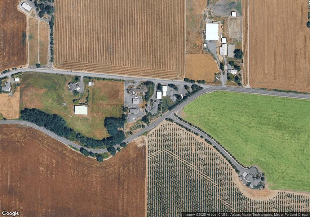
Map
Nearby Homes
- 115 W 2nd St
- 265 S Maple St
- 345 E 1st St
- 9030 NW Pike Rd
- 515 E Buttercup St
- 605 E Fourth St
- 640 E Buttercup St
- 410 S Elm St
- 315 N Elm St
- 705 E Fourth St
- 415 S Elm St
- 730 E Camellia St
- 720 E Azalea St
- 720 E Fourth St
- 725 E 3rd St
- 730 E Fourth St
- 405 S Cedar St
- 950 E Main St
- 540 E Fourth St
- 223 N Balm St
- 8831 NW Clay Pit Rd
- 8820 NW Moores Valley Rd
- 8691 NW Clay Pit Rd
- 9001 NW Clay Pit Rd
- 8490 NW Moores Valley Rd
- 8777 NW Moores Valley Rd
- 9110 NW Clay Pit Rd
- 9275 NW Clay Pit Rd
- 8230 NW Moores Valley Rd
- 9440 NW Moores Valley Rd
- 8000 NW Moores Valley Rd
- 7865 NW Moores Valley Rd
- 110 SW Spruce St
- 120 SW Spruce St
- 130 SW Spruce St
- 140 SW Spruce St
- 150 SW Spruce St
- 160 SW Spruce St
- 170 SW Spruce St
- 9780 NW Moores Valley Rd